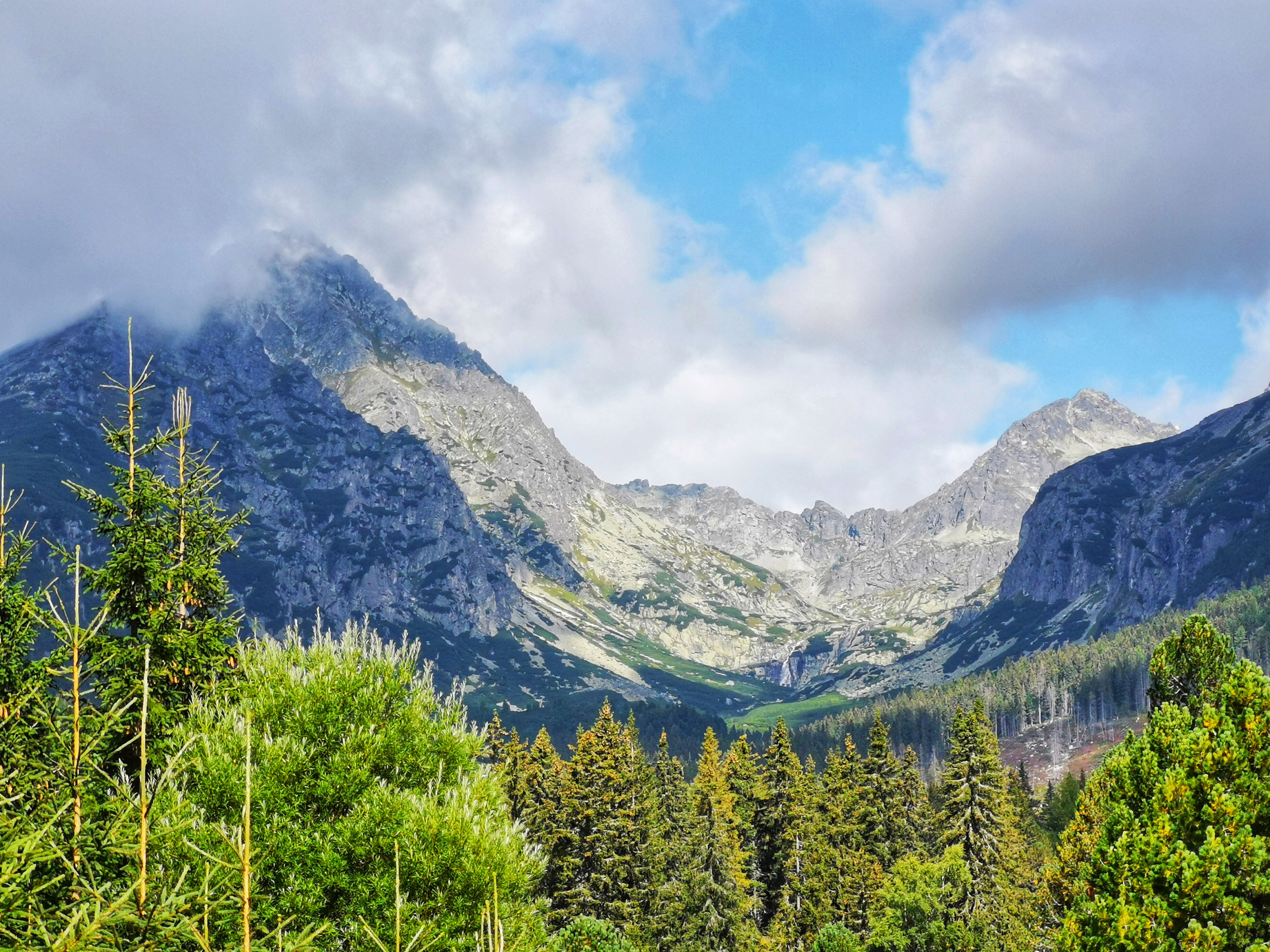
Last week we visited The High Tatras, a mountain range along the border of northern Slovakia in the Prešov Region, and southern Poland in the Lesser Poland Voivodeship. The High Tatras, having 29 peaks over 2,500 metres MSL are, with the Southern Carpathians, the only mountain ranges with an alpine character and habitats in the entire 1,200 kilometres length of the Carpathian Mountains system. The first European cross-border national park, Tatra National Park, was founded here with Tatra National Park (Tatranský národný park) in Slovakia in 1948, and Tatra National Park (Tatrzański Park Narodowy) in Poland in 1954.
Day 1: Skalnaté pleso – Malá Svišťovka
This is the path that we took the first day of our trip: https://en.mapy.cz/s/pazagumoha. Nothing crazy. Just 17 km with a bit of uphill climb to warm up our legs for the coming days.
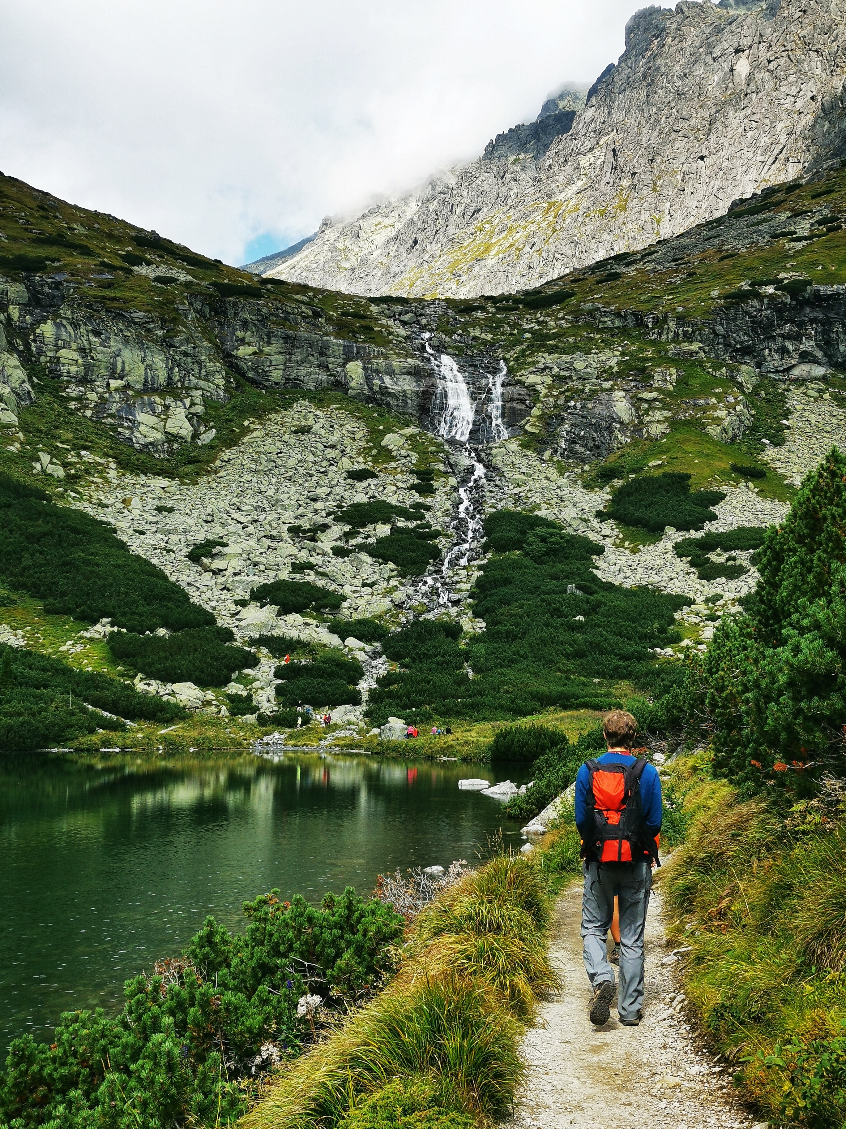
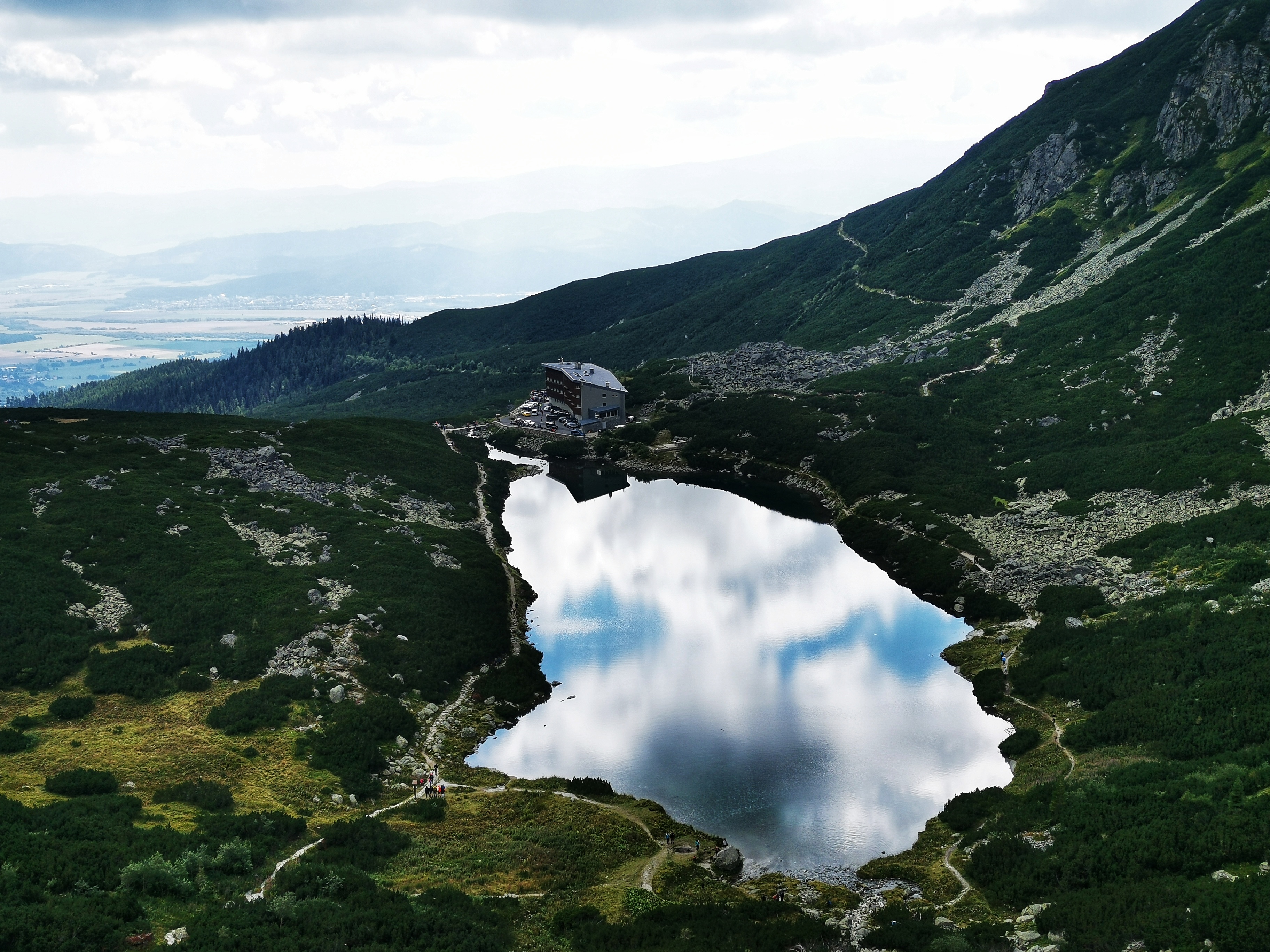
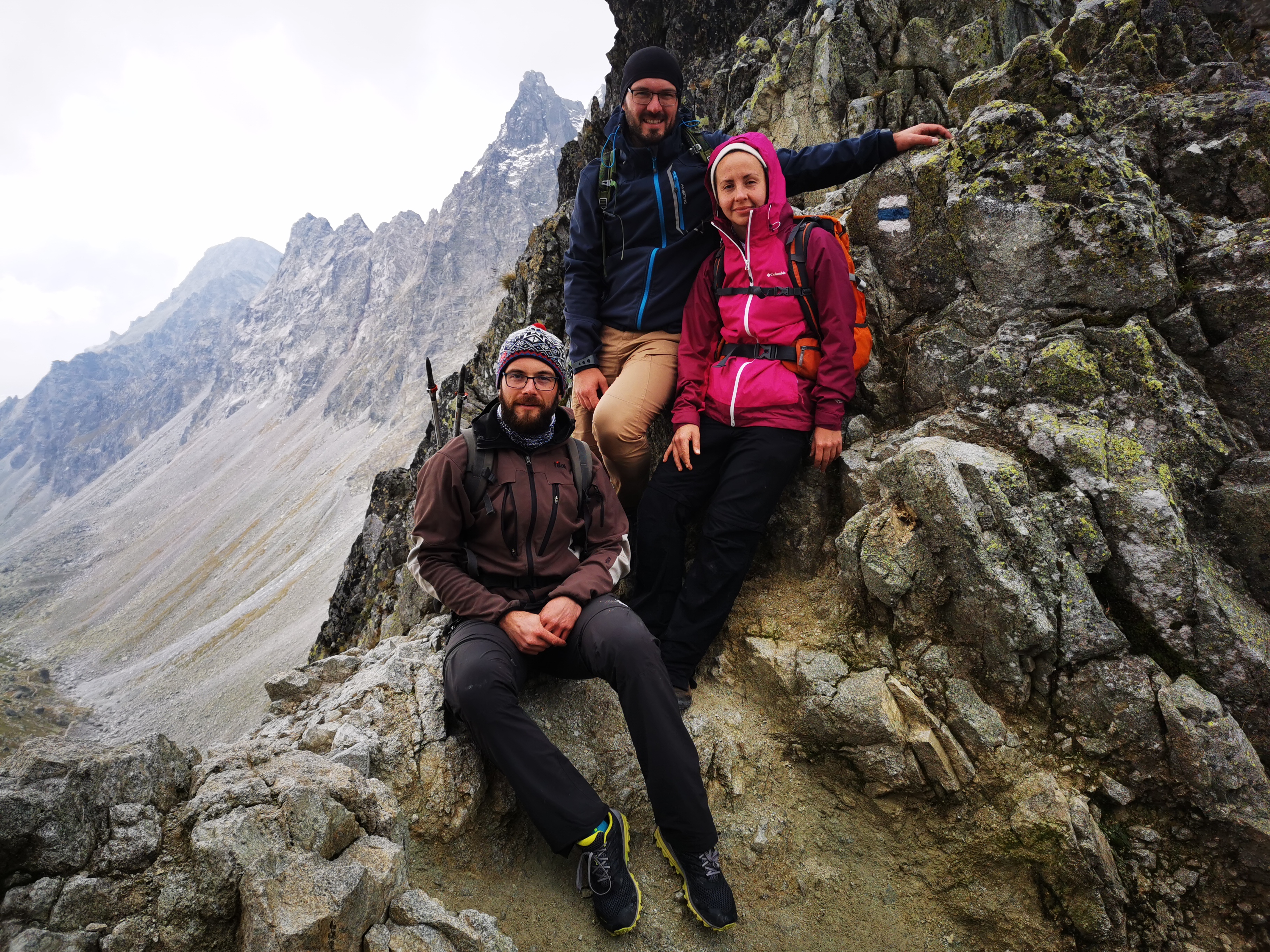
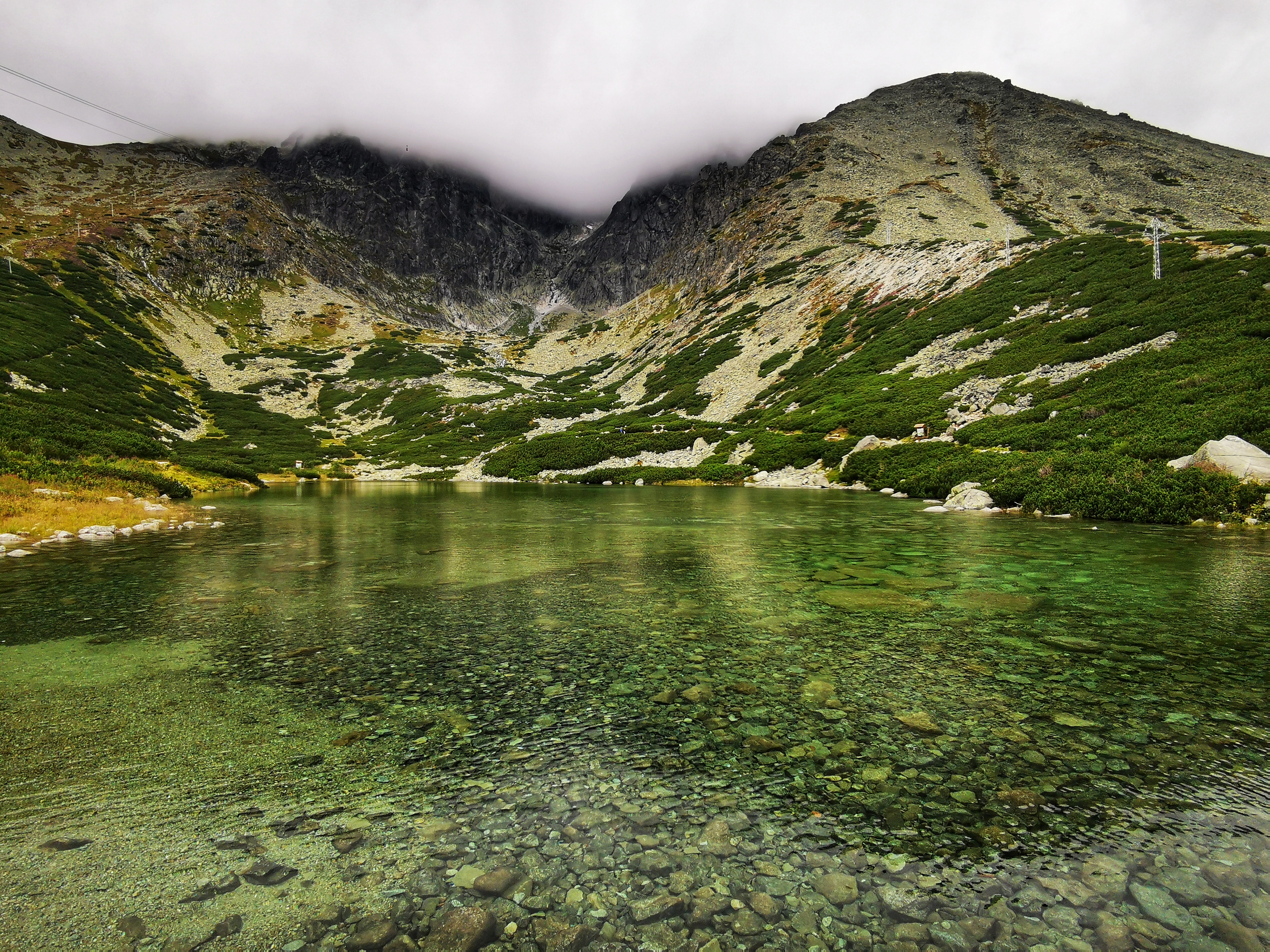
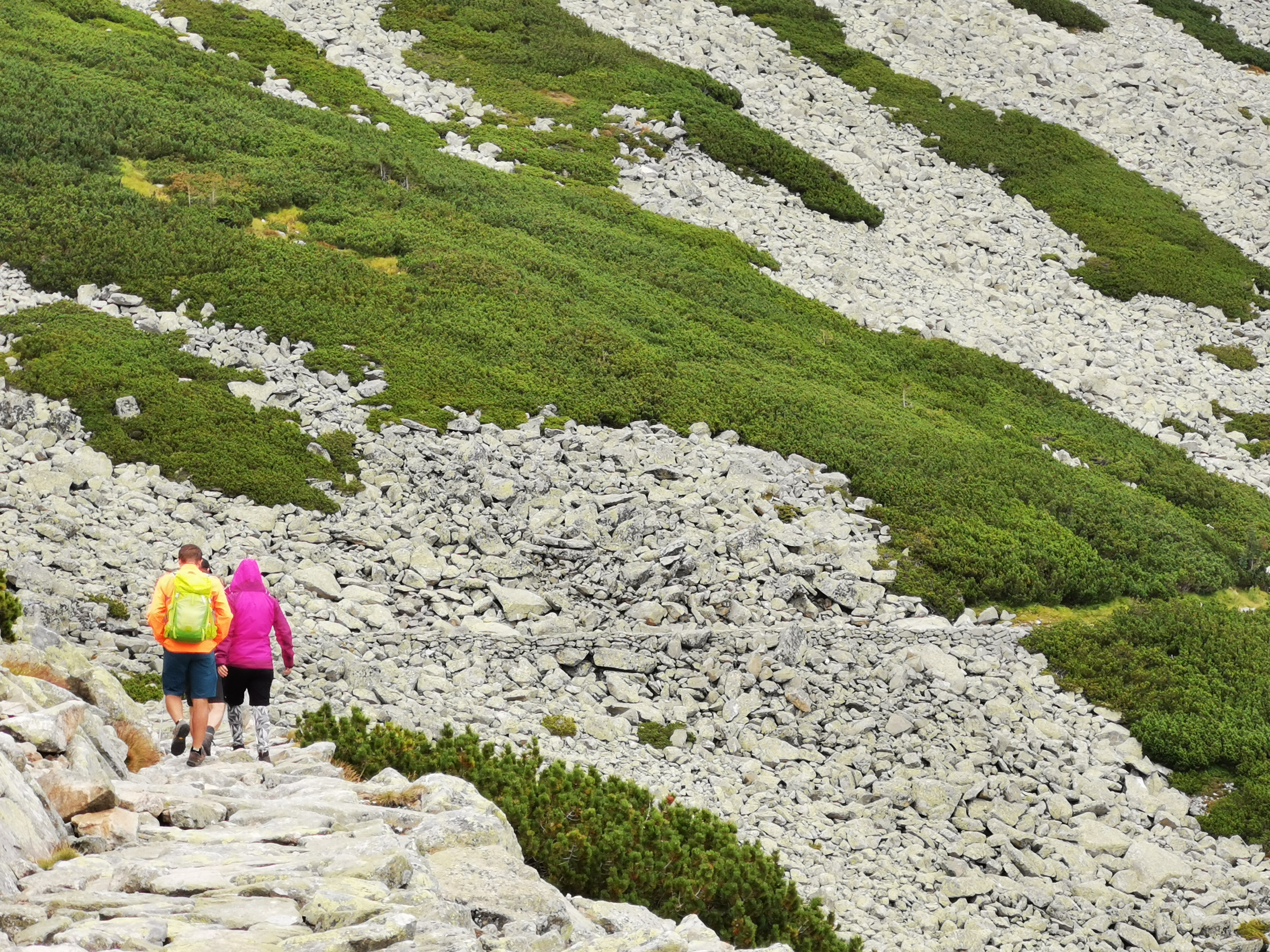
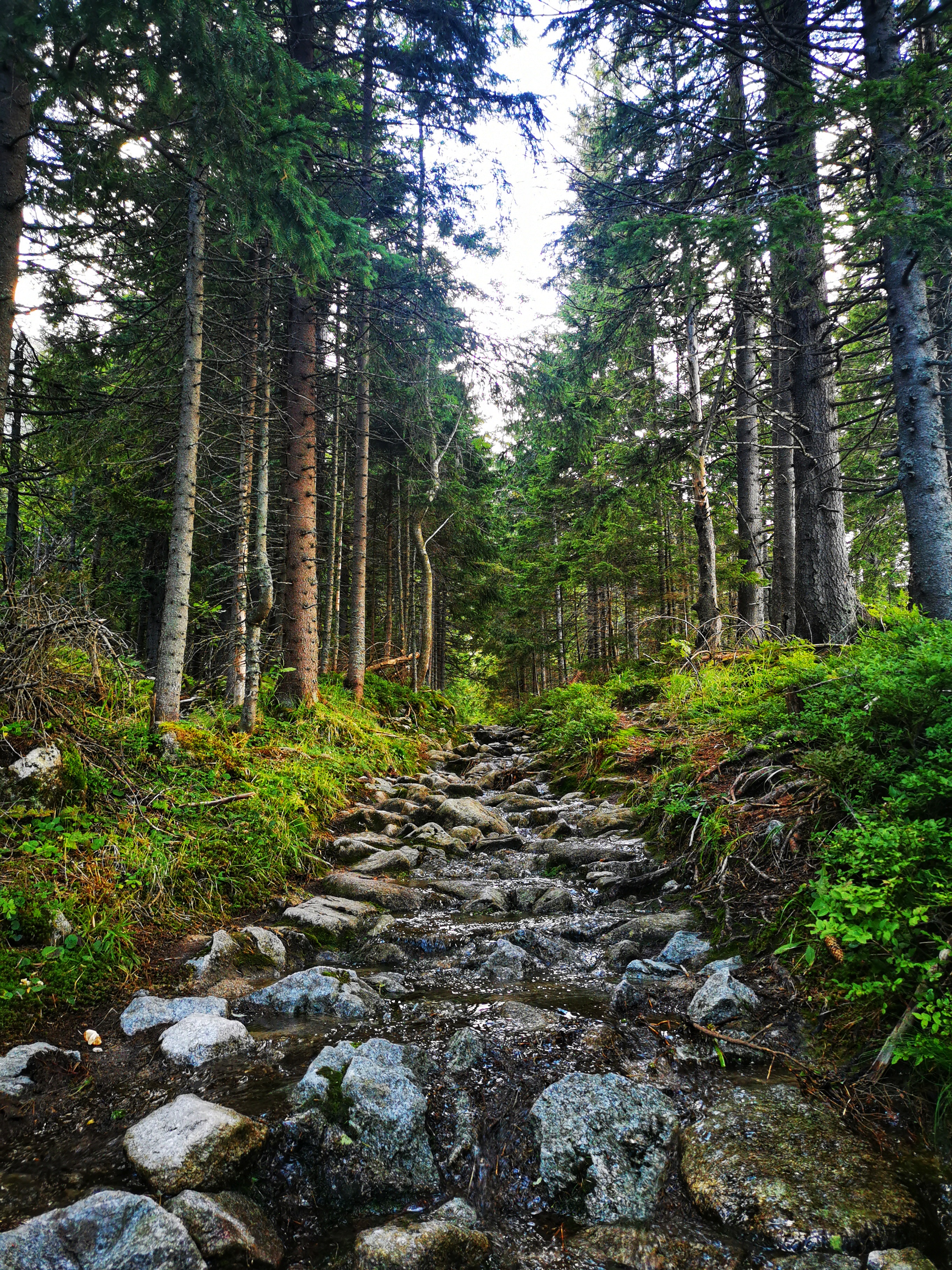
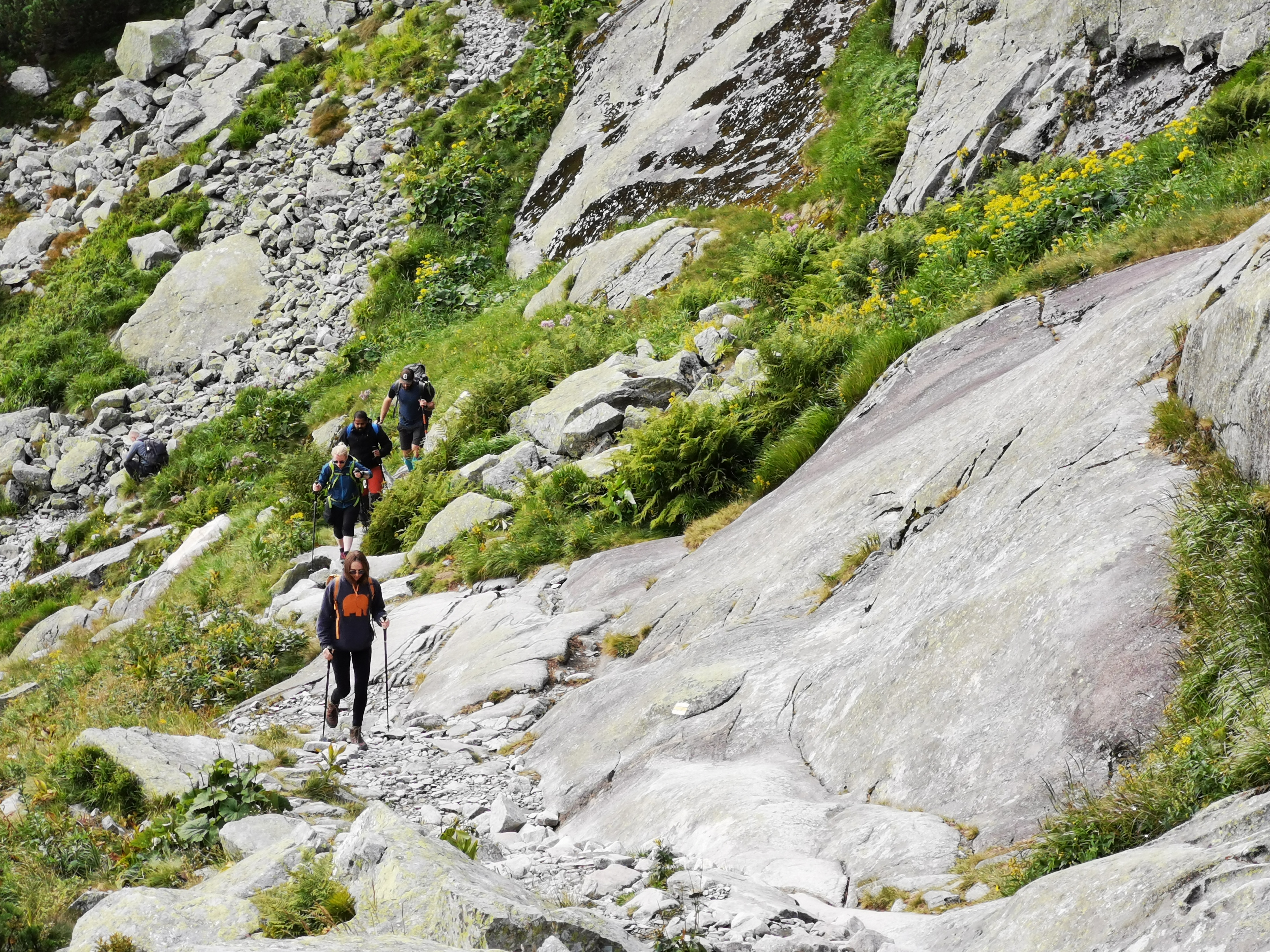
We started our first day by climbing up to the Skalnaté pleso (1,751 m). From Skalnaté pleso we continued to Malá Svišťovka. The rocky path was amazing. We saw a few beautiful streams on the way back down to Tatranská Lomnica. At times even the path was full of water. But we managed.
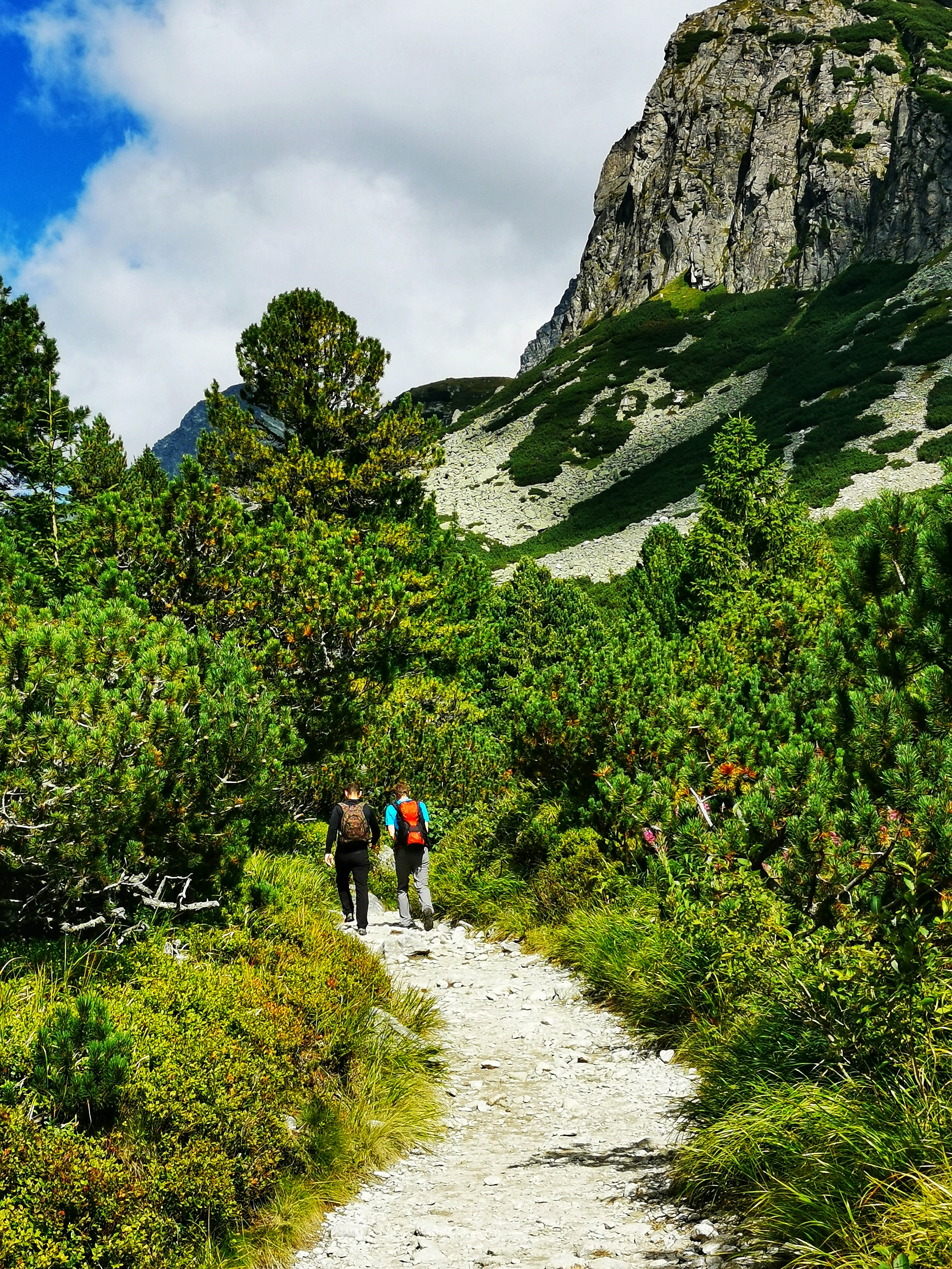
Day 2: Mlynická dolina – Bystrá lávka – Furkotská dolina
To summarize the second day of our last week hiking trip to The High Tatras: 15 km; 982 m uphill; 982 m downhill. This is the route that we took: https://mapy.cz/s/numufecuso. It was challenging, but beautiful.
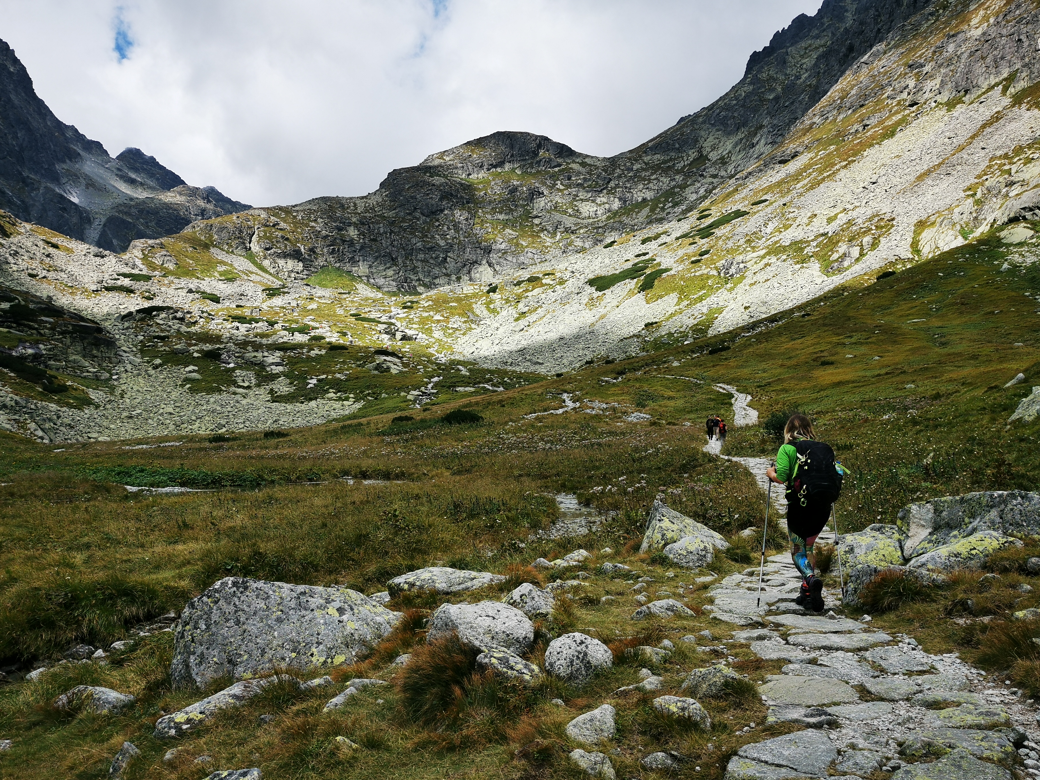
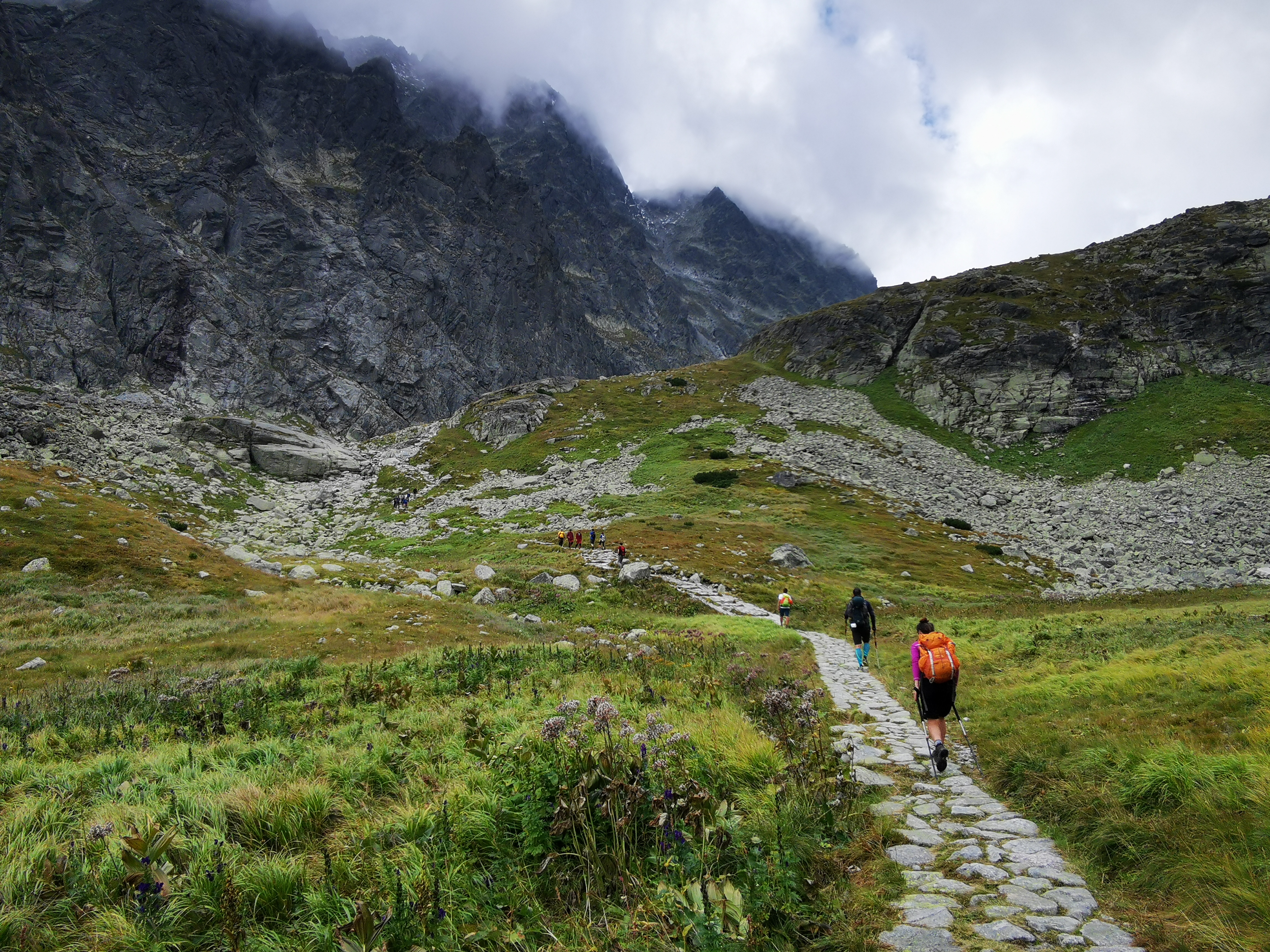
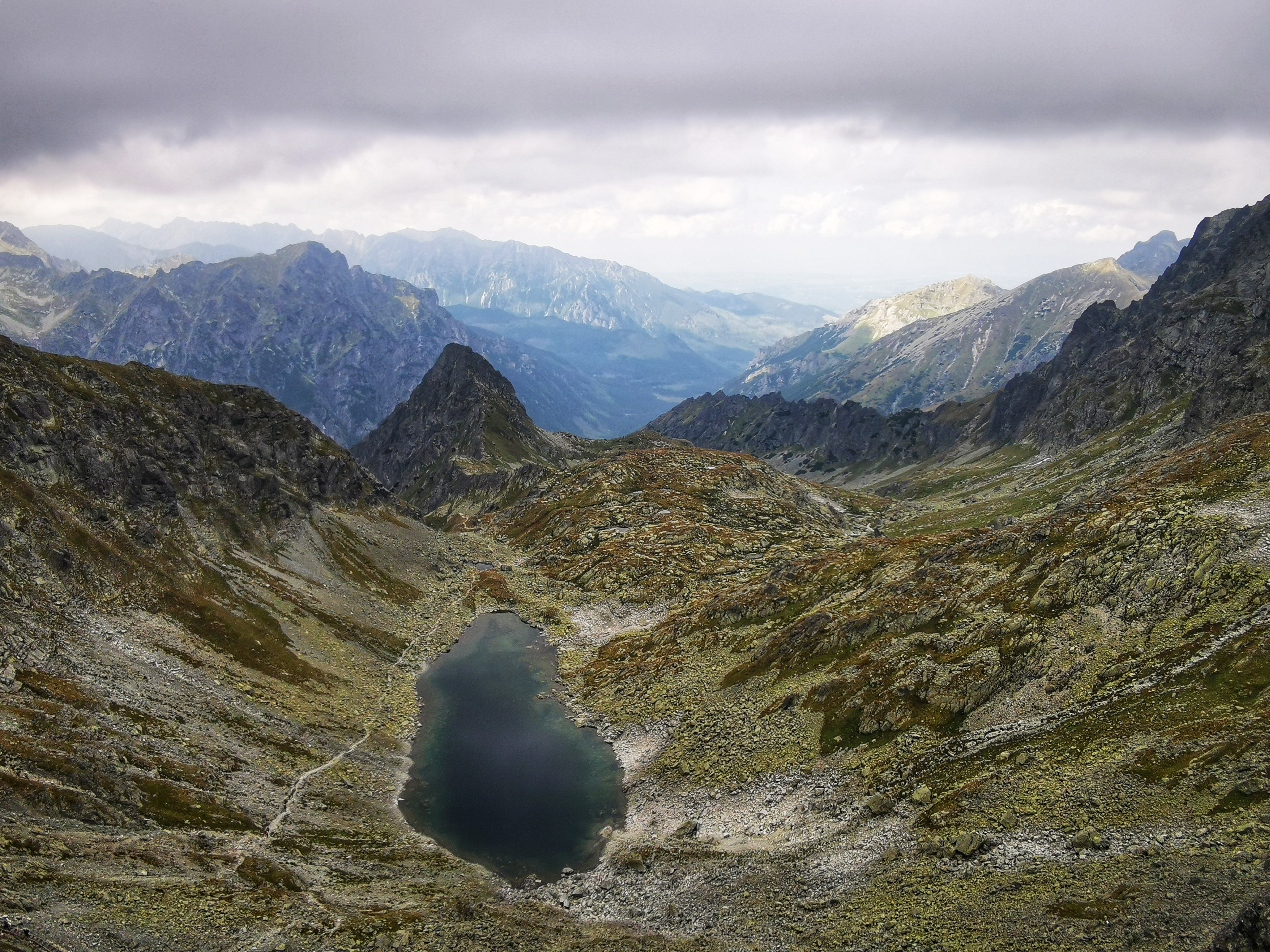
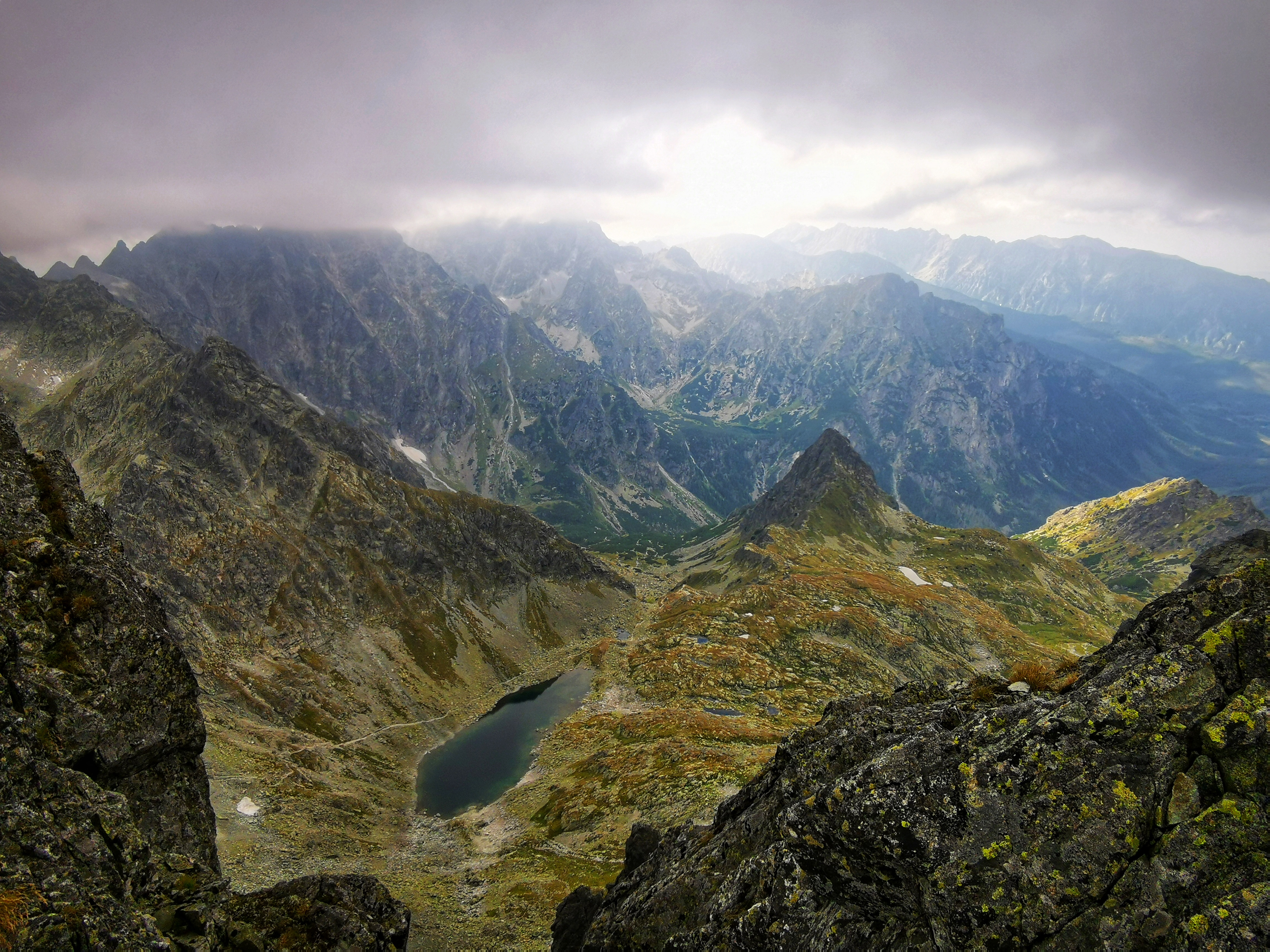
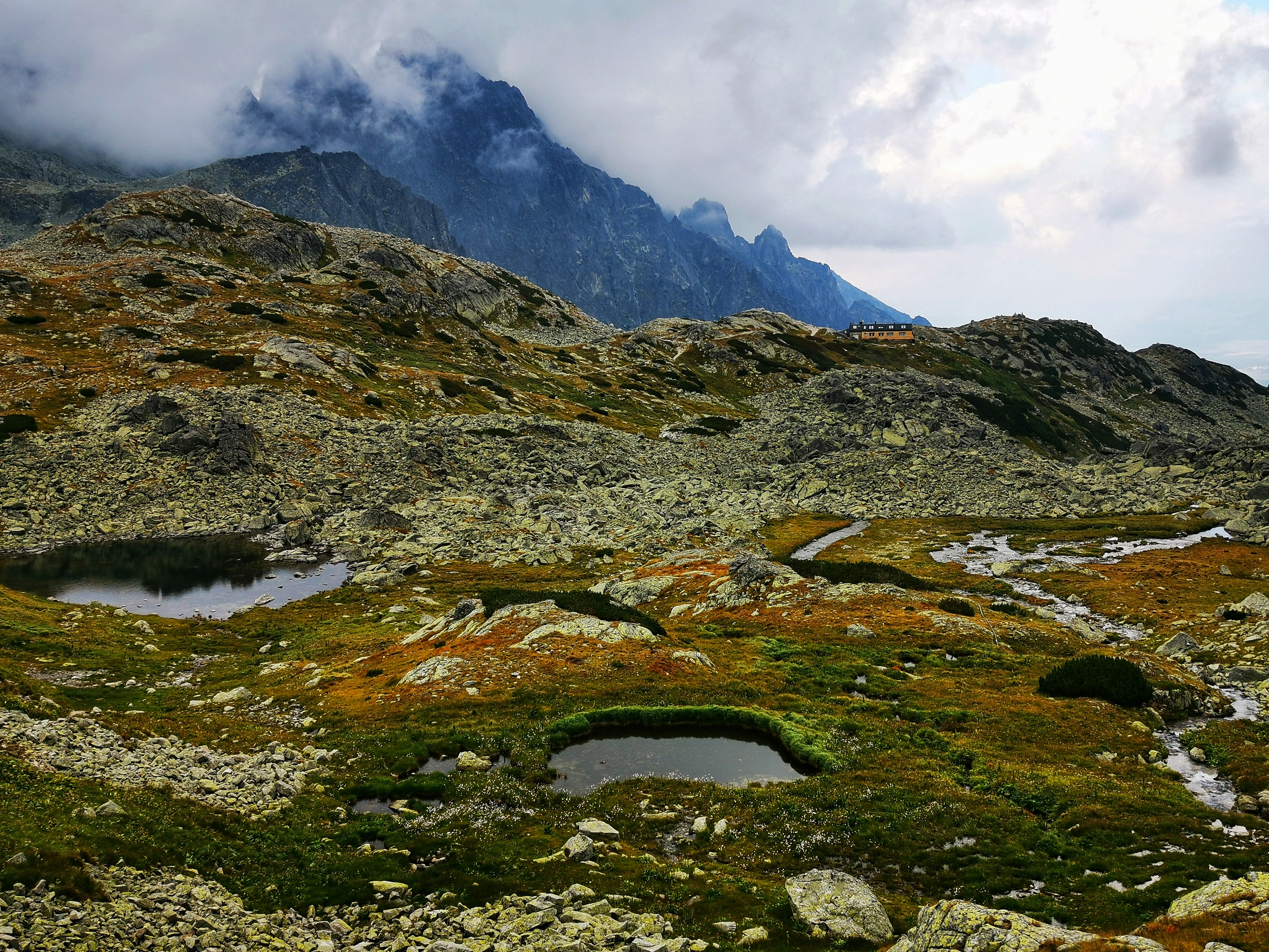
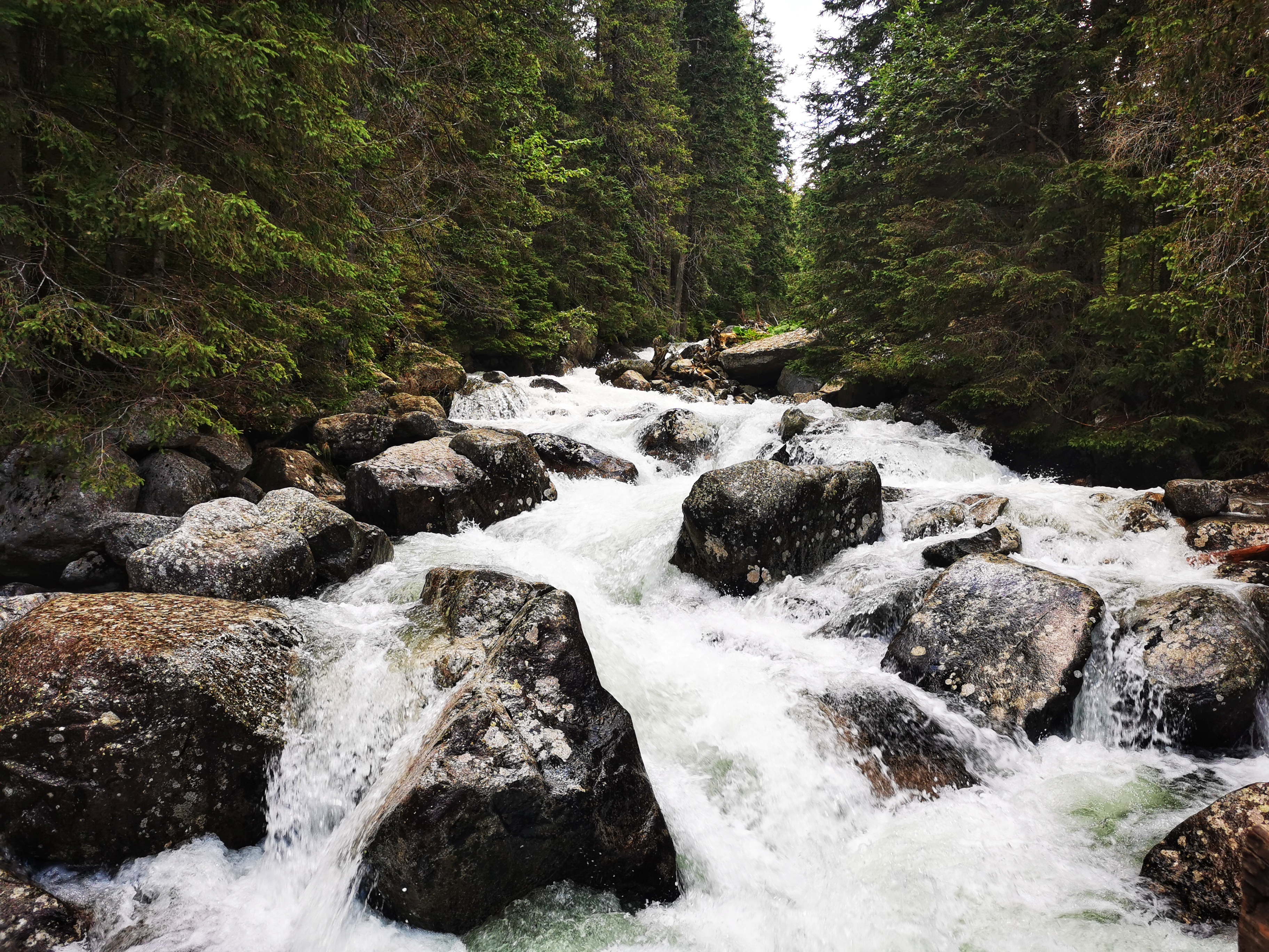
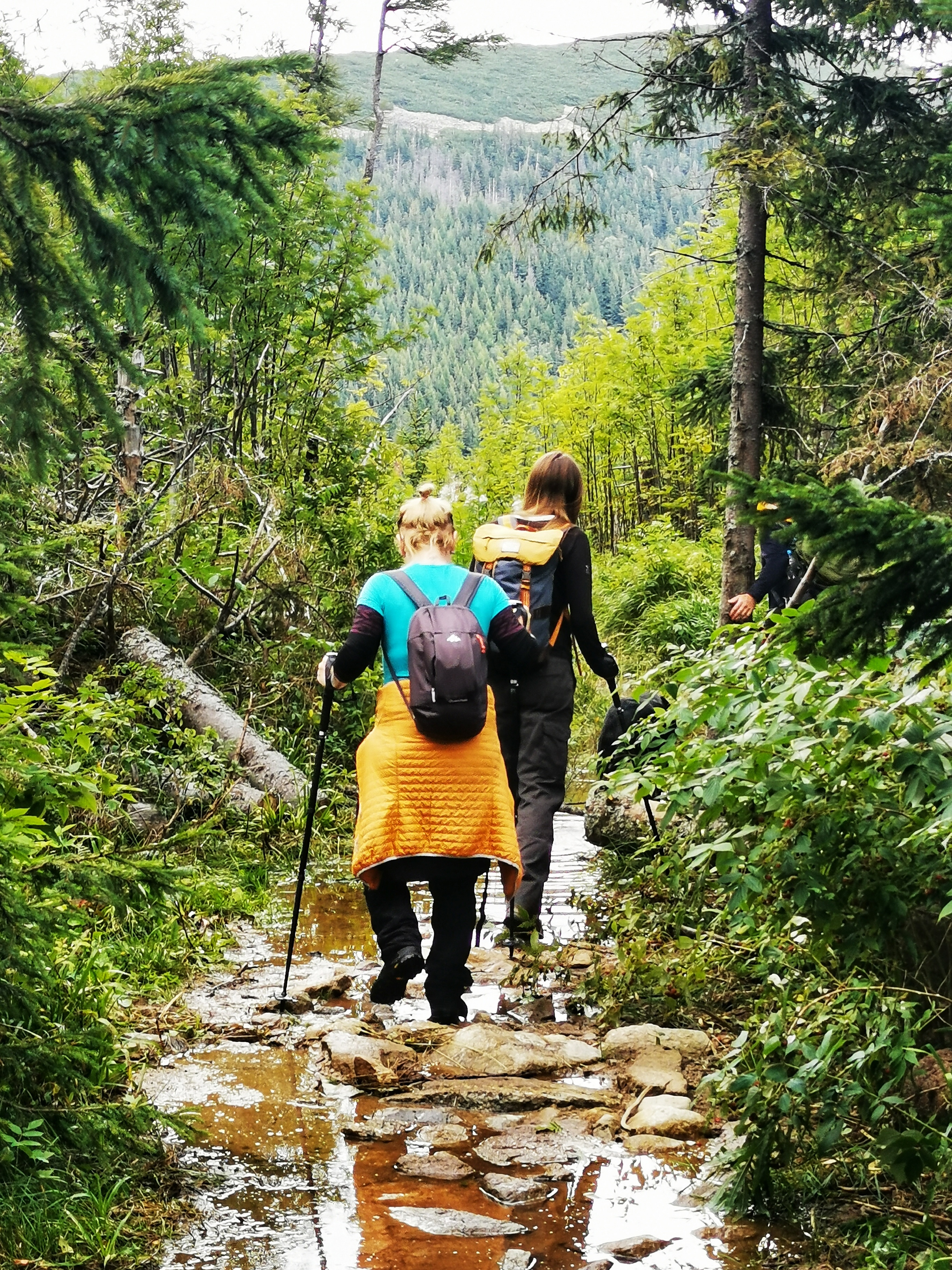
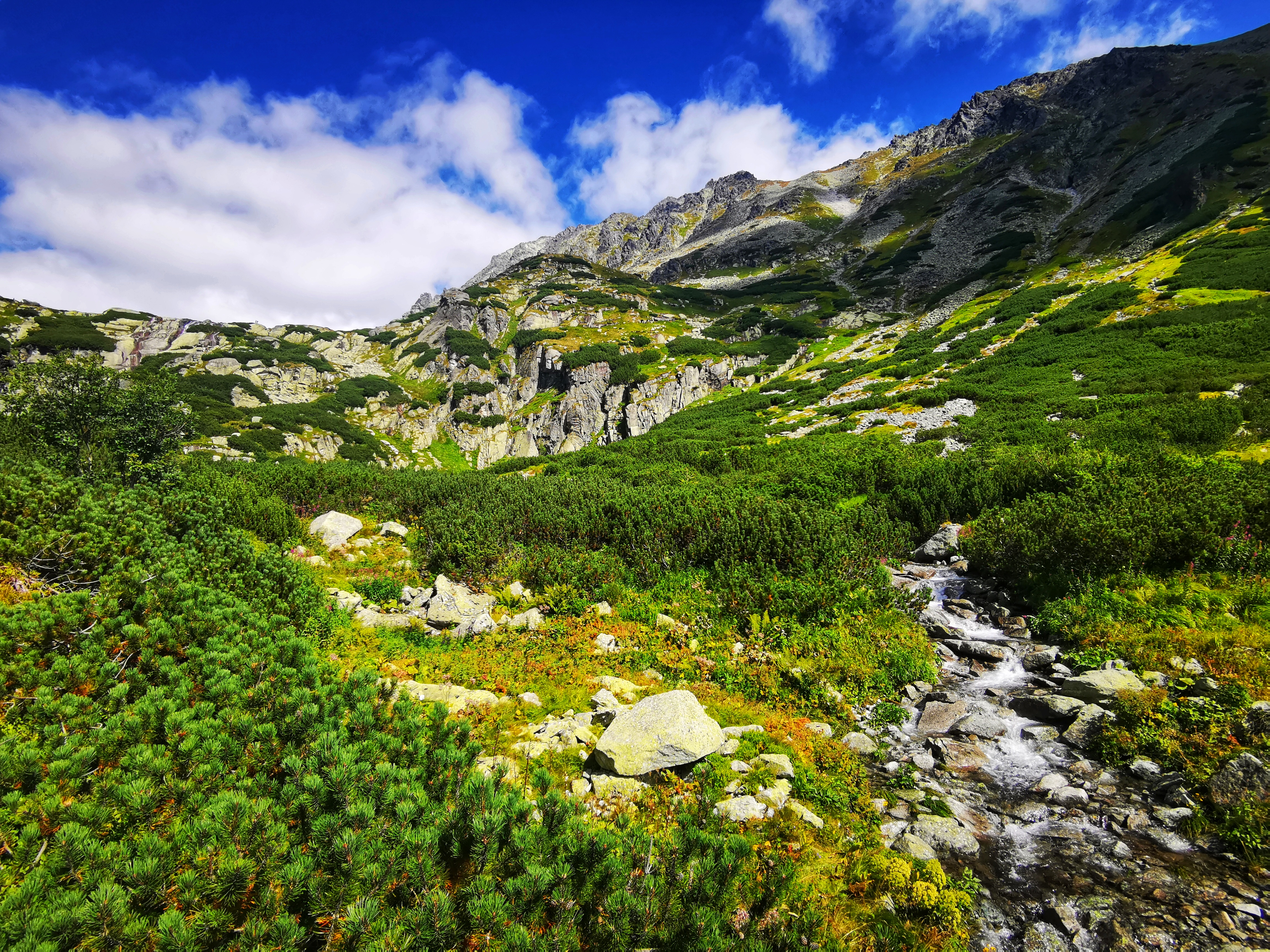
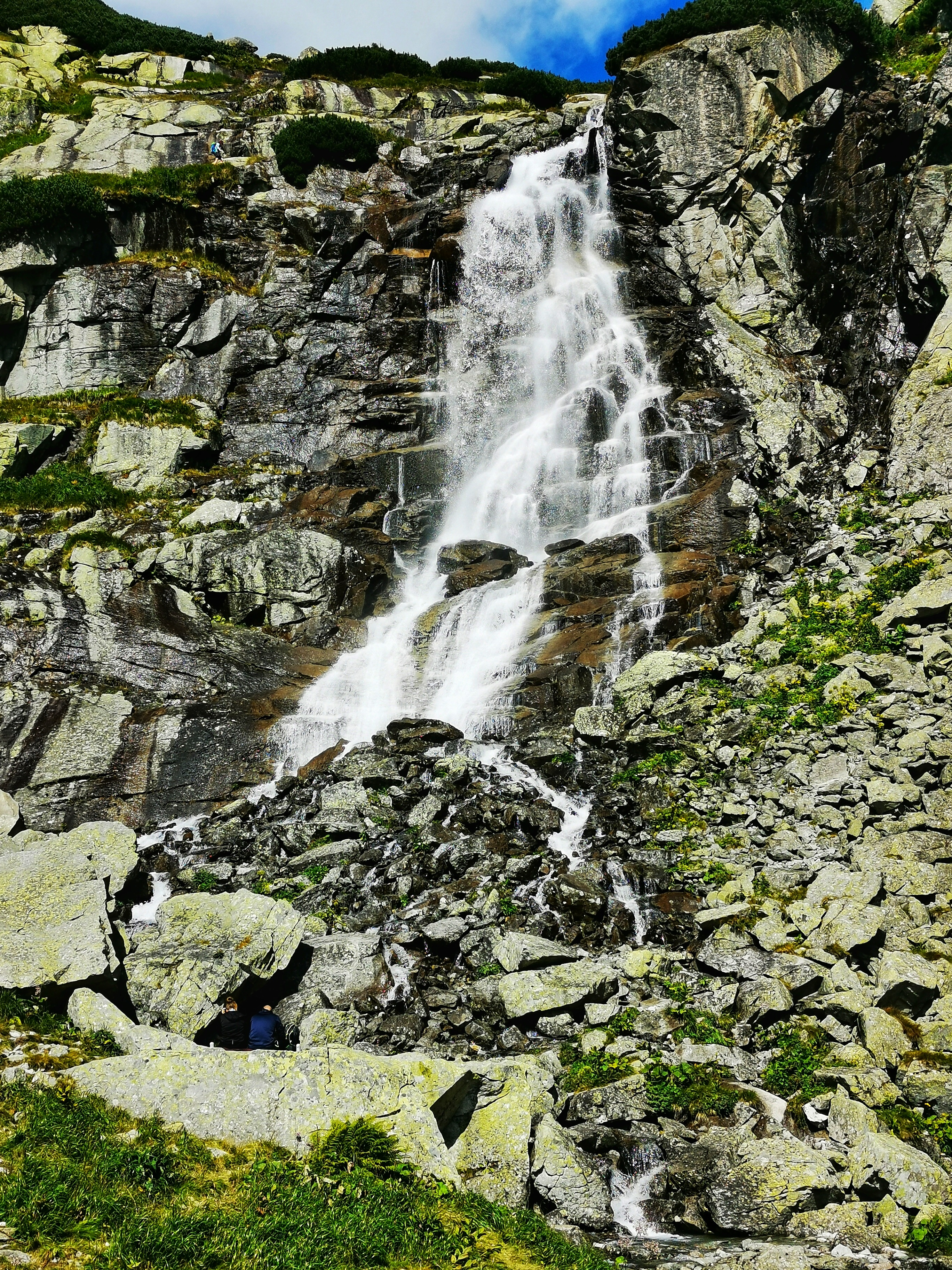
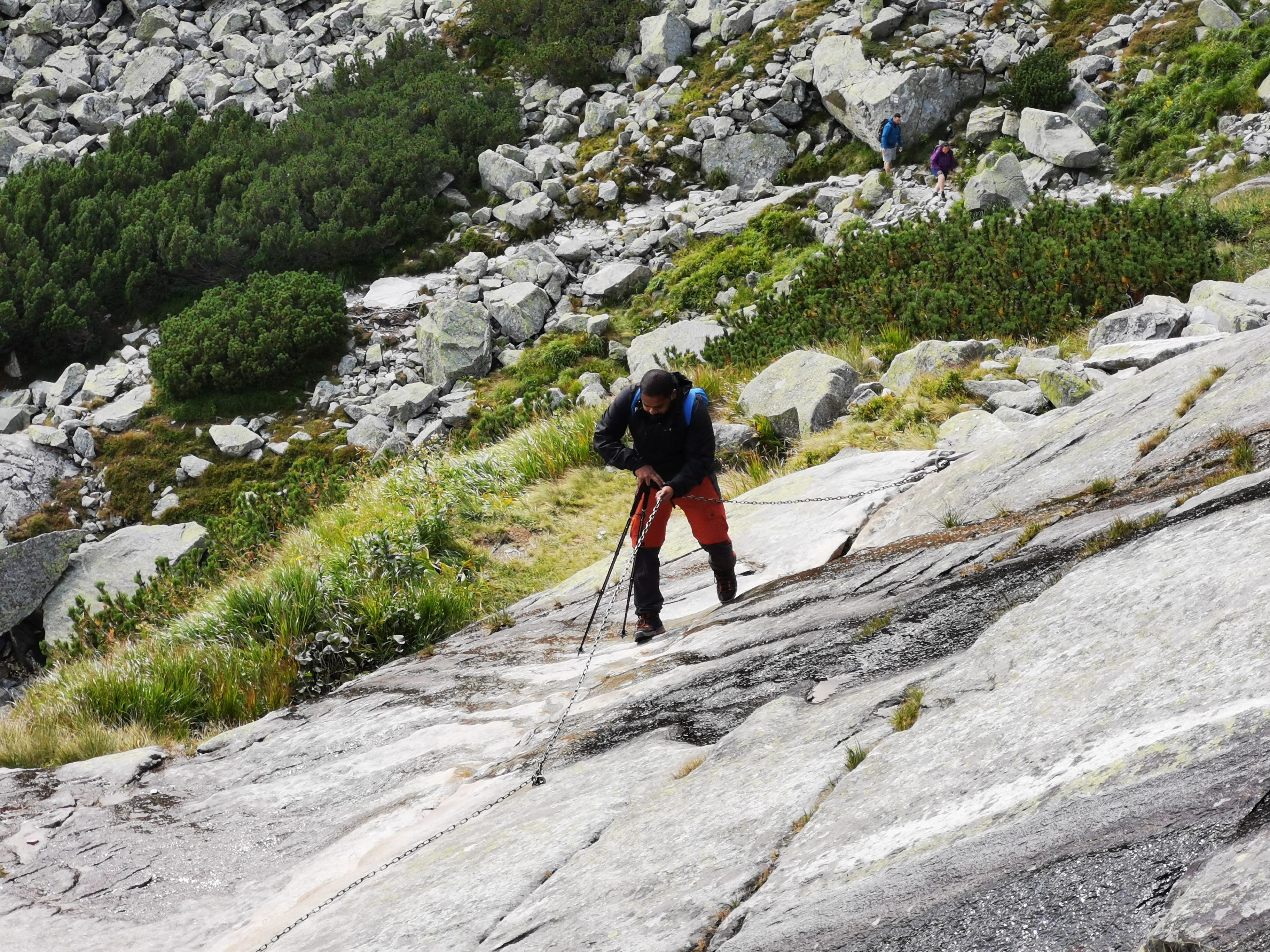
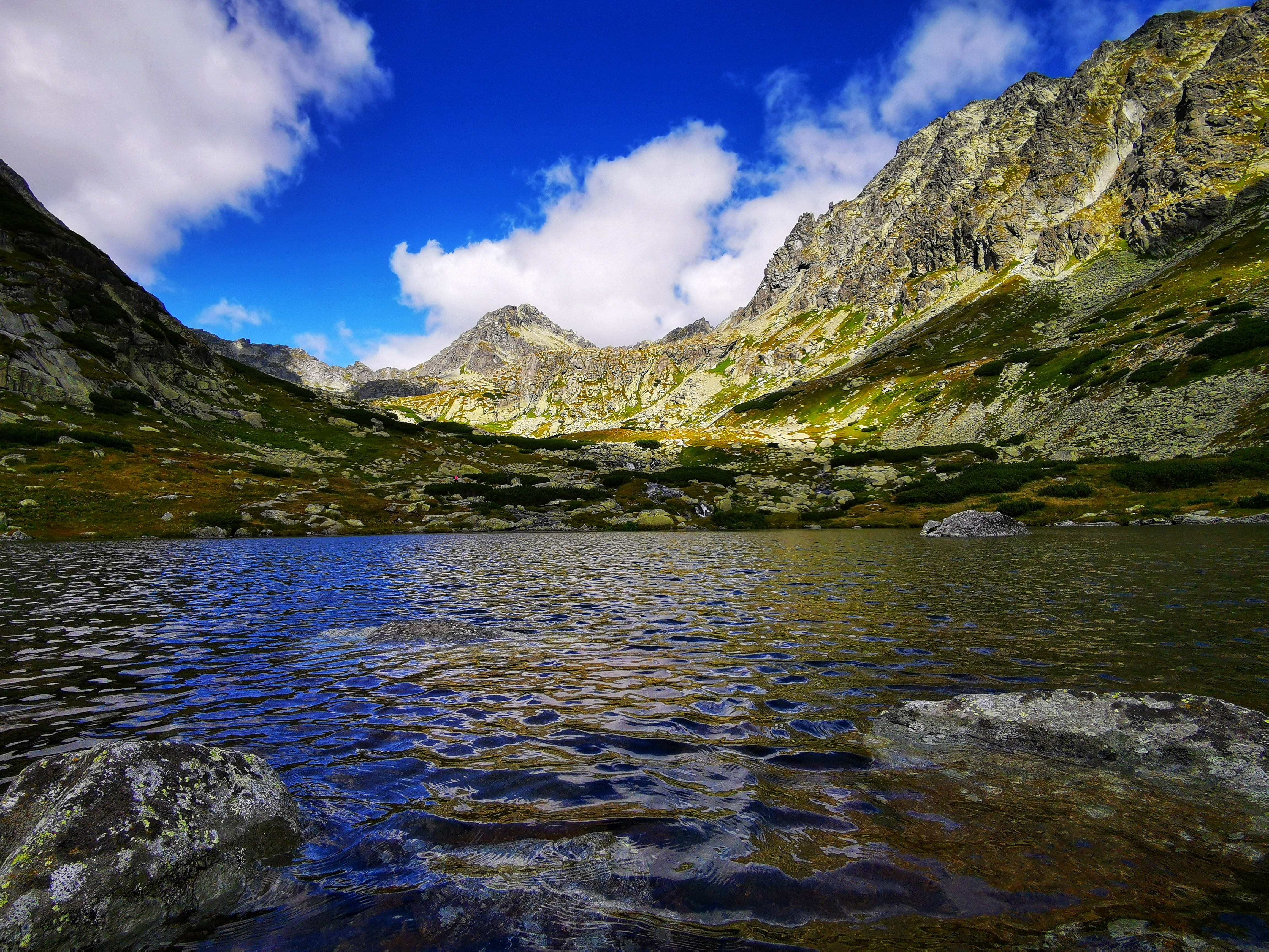
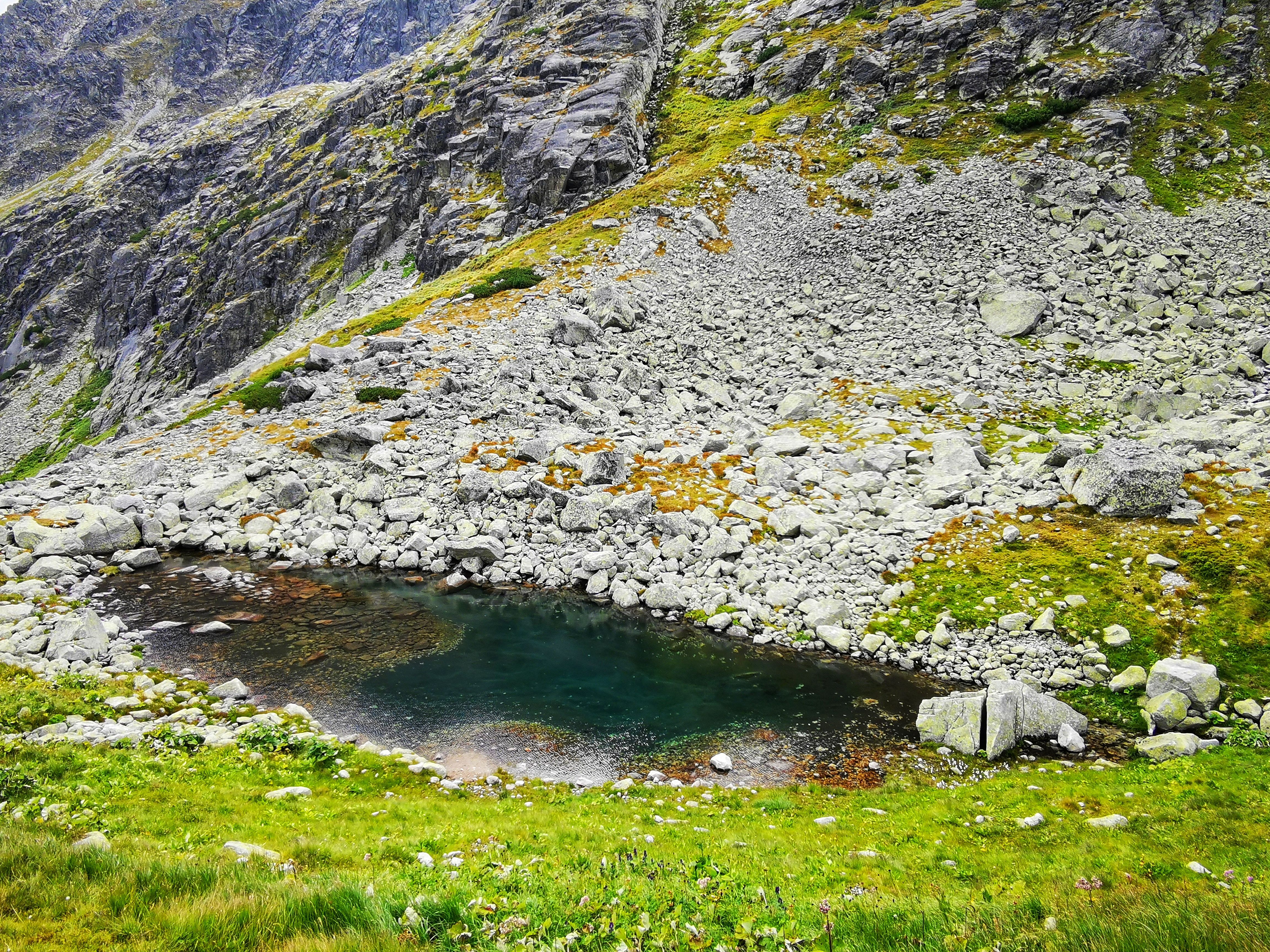
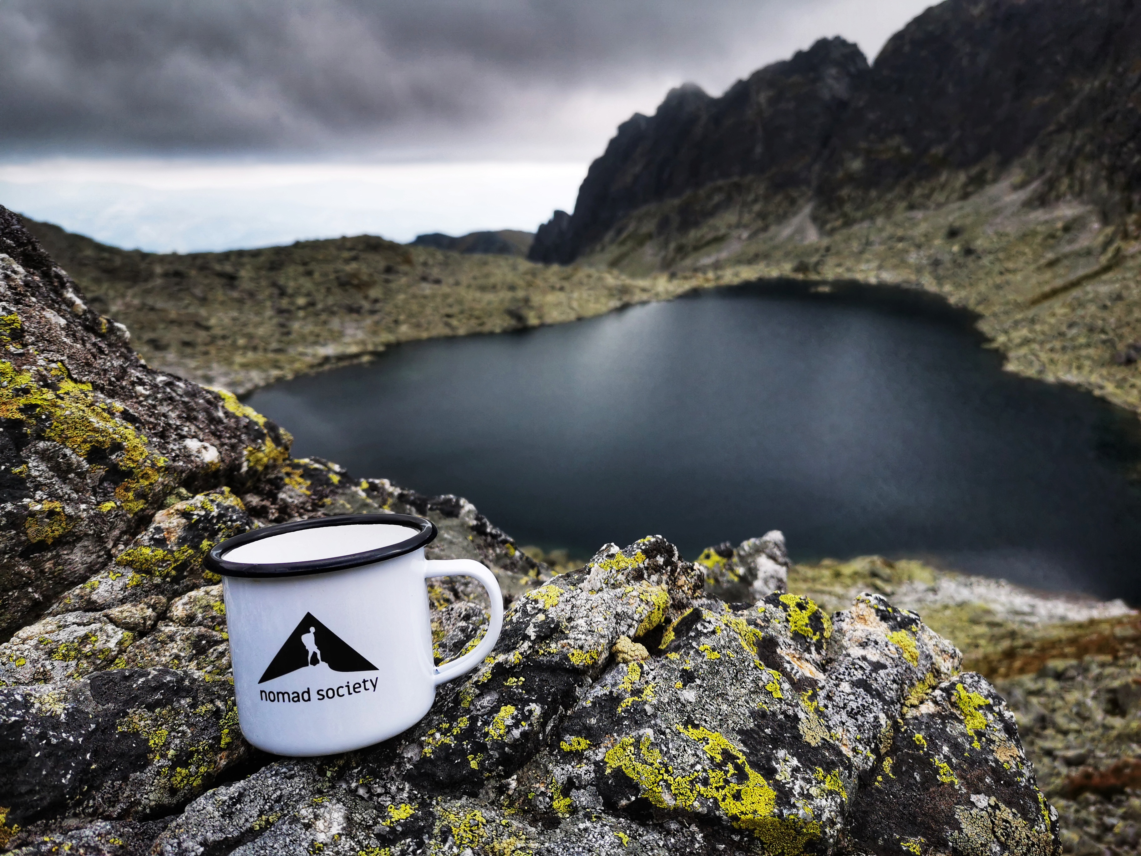
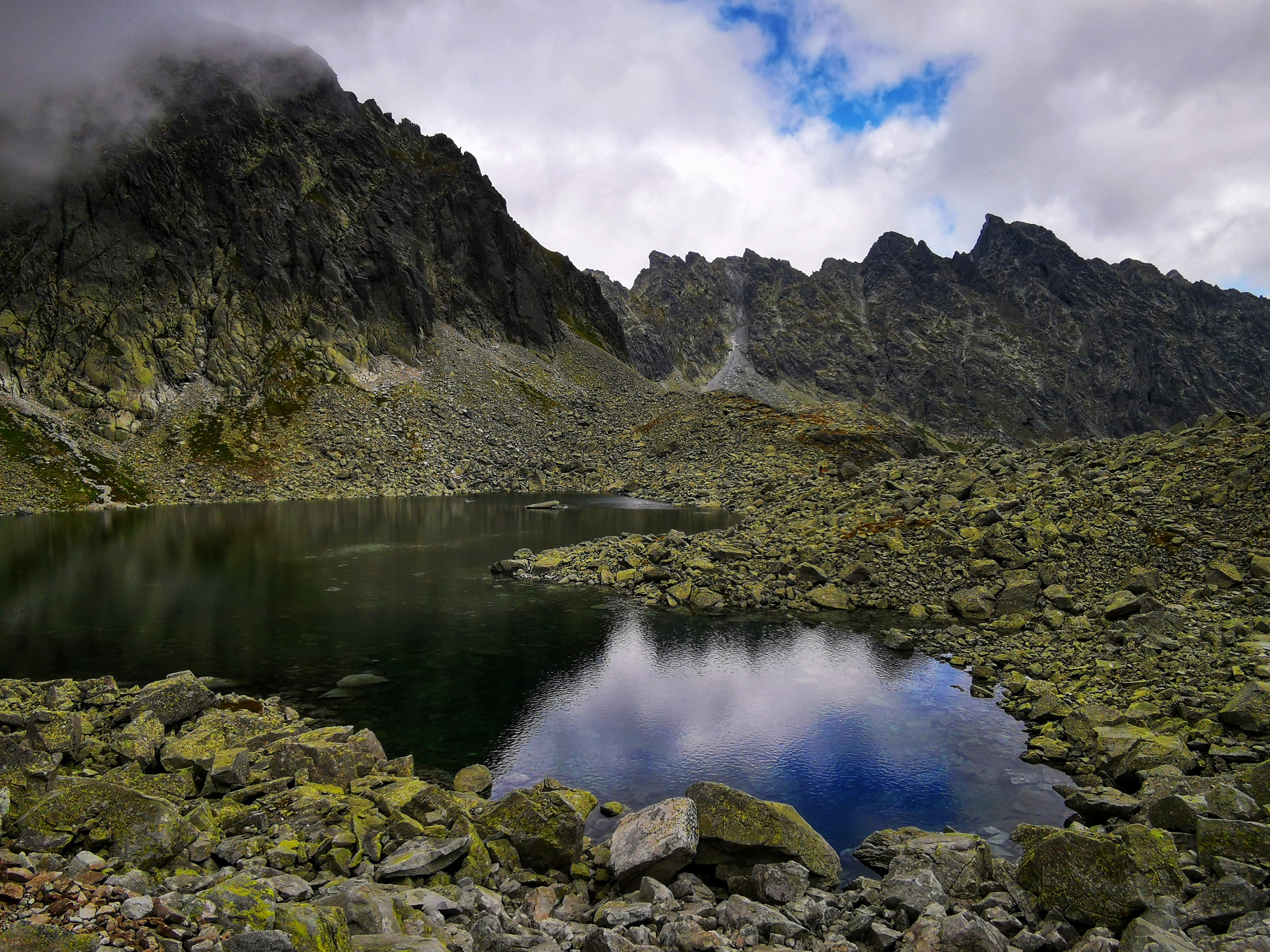
We started with an easy walk through Mlynická dolina to Skok waterfall. Parts of the path were flooded, but we managed and climbed up to the beautiful mountain lake Pleso nad Skokom. Then we continued our climb. We got to the stunning mountain lake named Capie pleso. After that we climbed some more. Eventually we got all the way to the top – mountain pass Bystrá lávka (2,300 m).
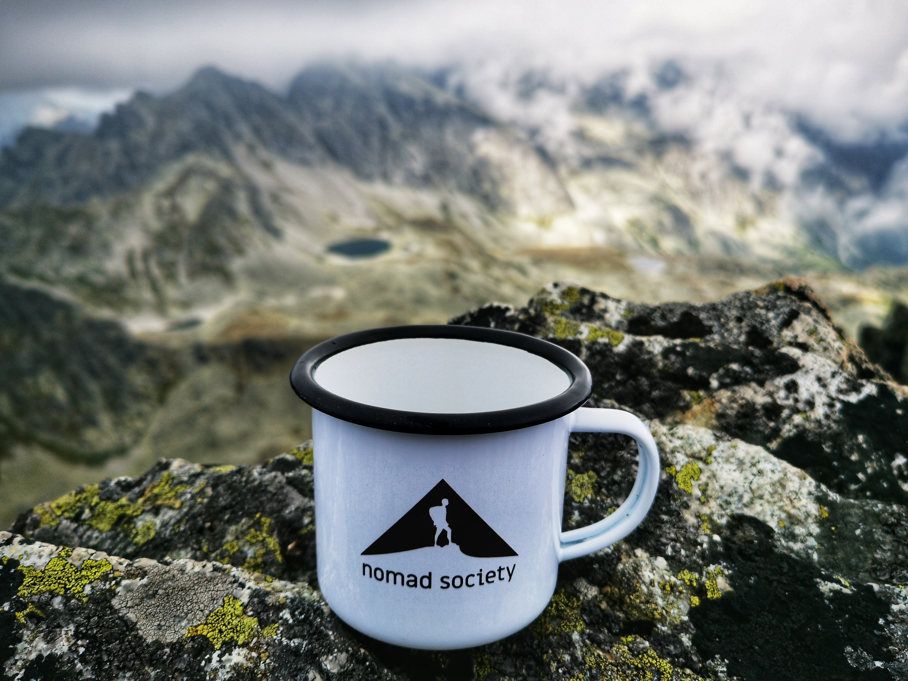
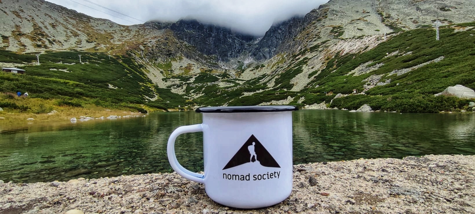
We could not help ourselves and had to take few pictures of our new Nomad Society Mug.
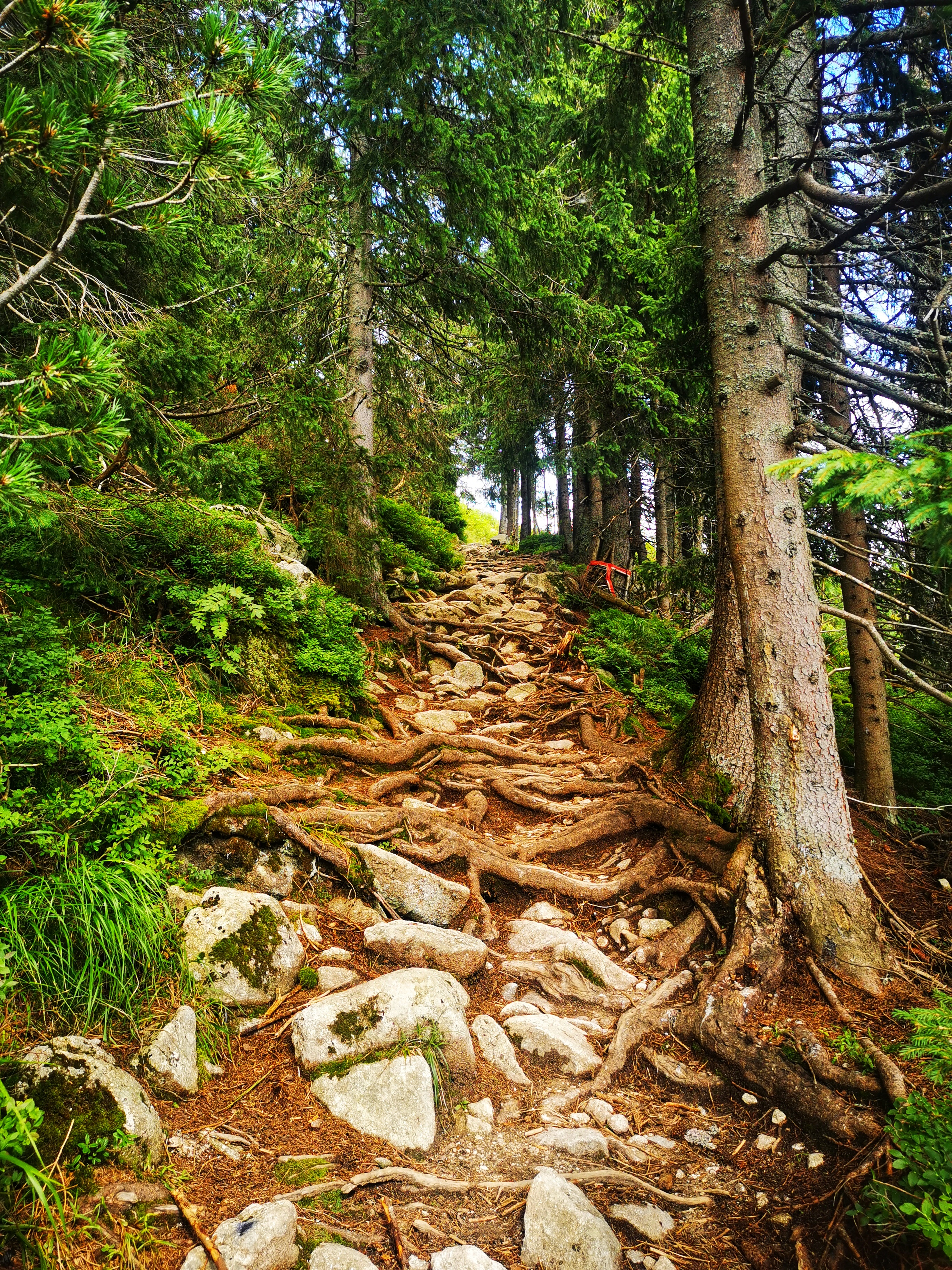
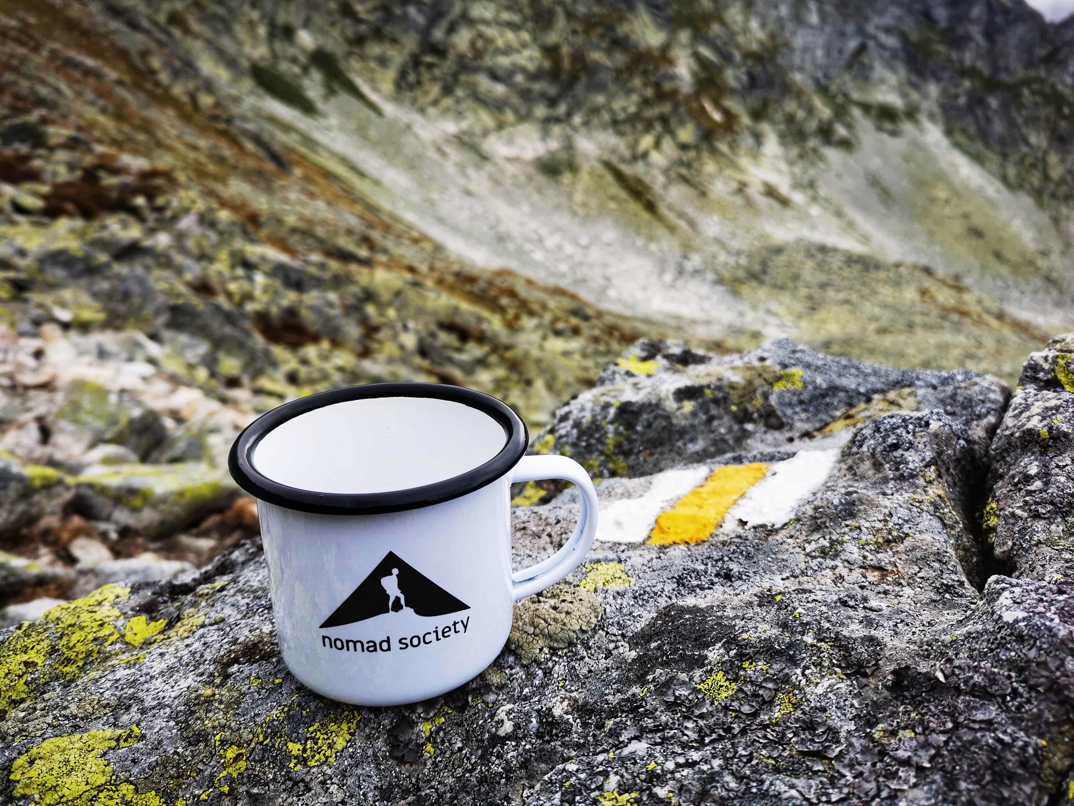
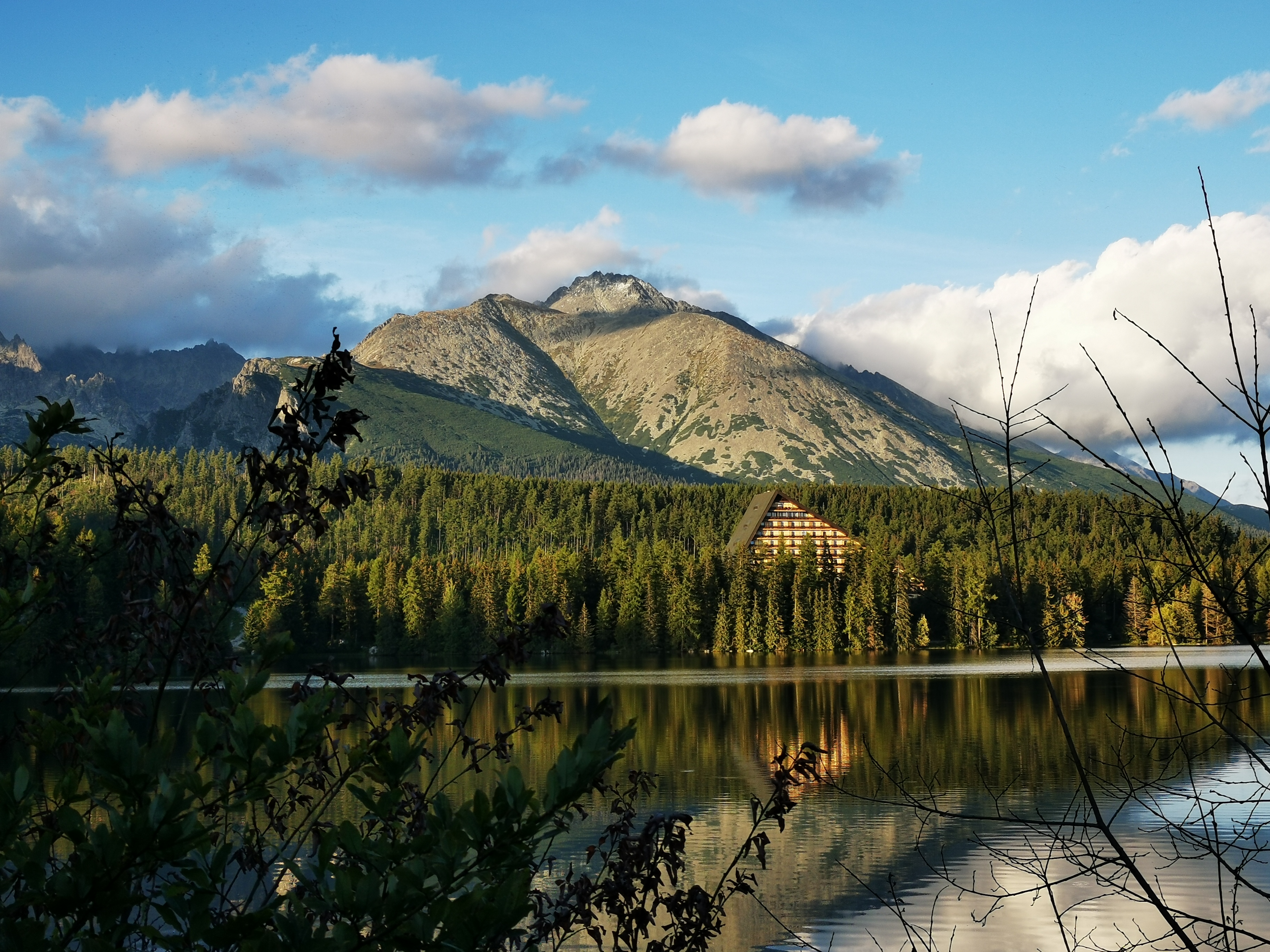
From there the only way was down – through the valley called Furkotská dolina. Even though the way down is usually harder for your knees, we really enjoyed it. The path was beautiful. We finished the hike at Štrbské pleso, where Michal was trying to act as a model. The promotion pictures for our new Nomad Society Mugs look really great with him.

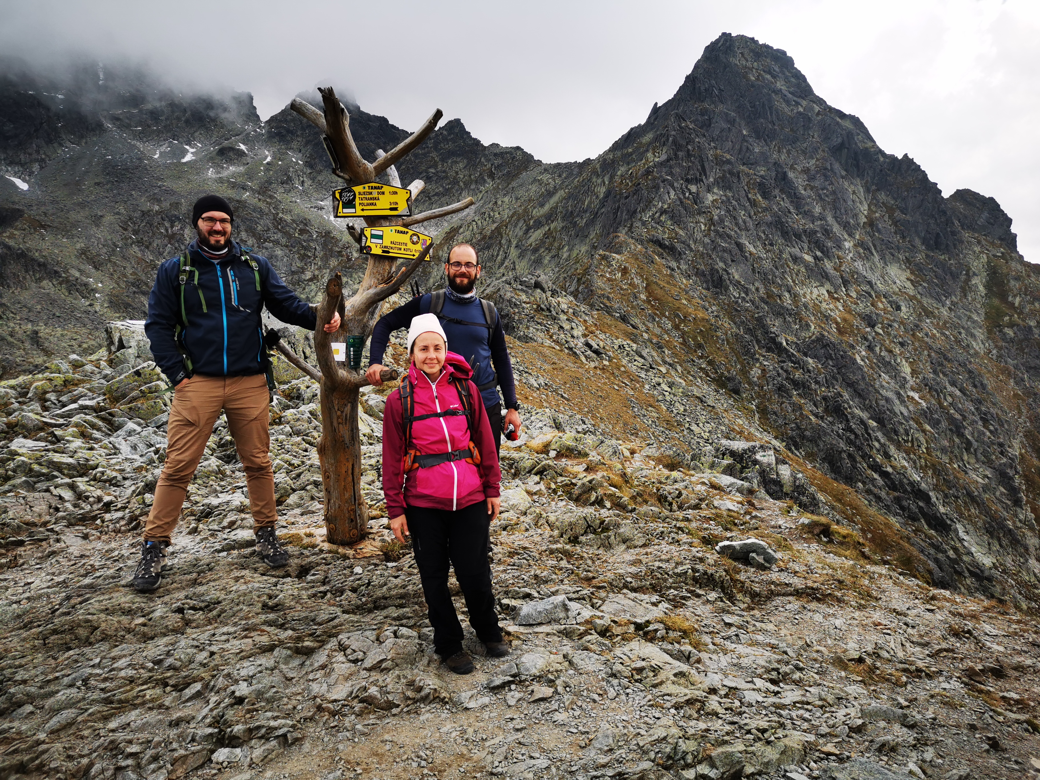
Day 3:
The third (and last) hike of this years trip to The High Tatras was most challenging one: https://en.mapy.cz/s/robujudera. Distance: 21,3 km; 1,168 m uphill; 1,461 m downhill, duration 10 hours (with all the stops). Beautiful and worth it.
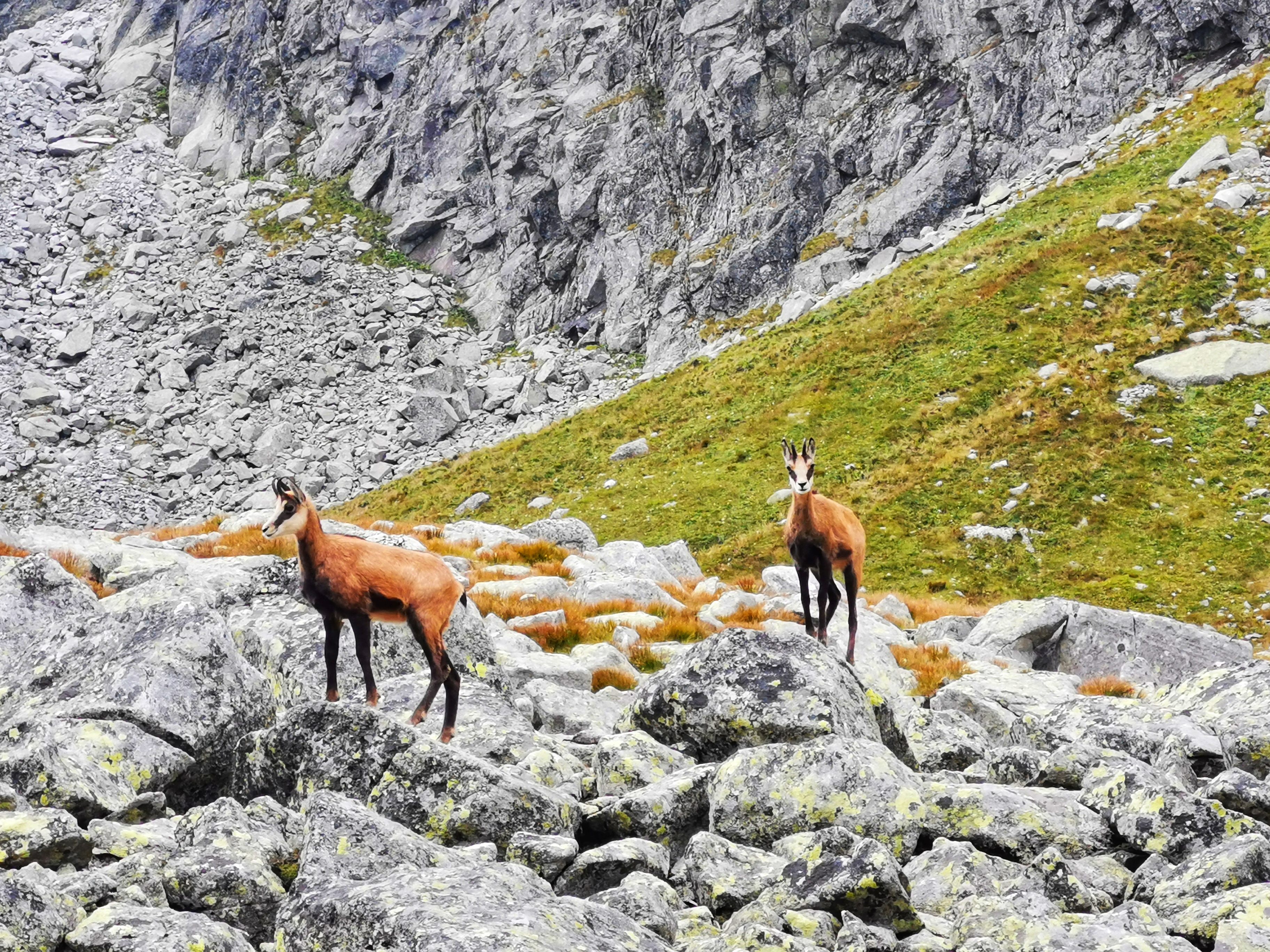
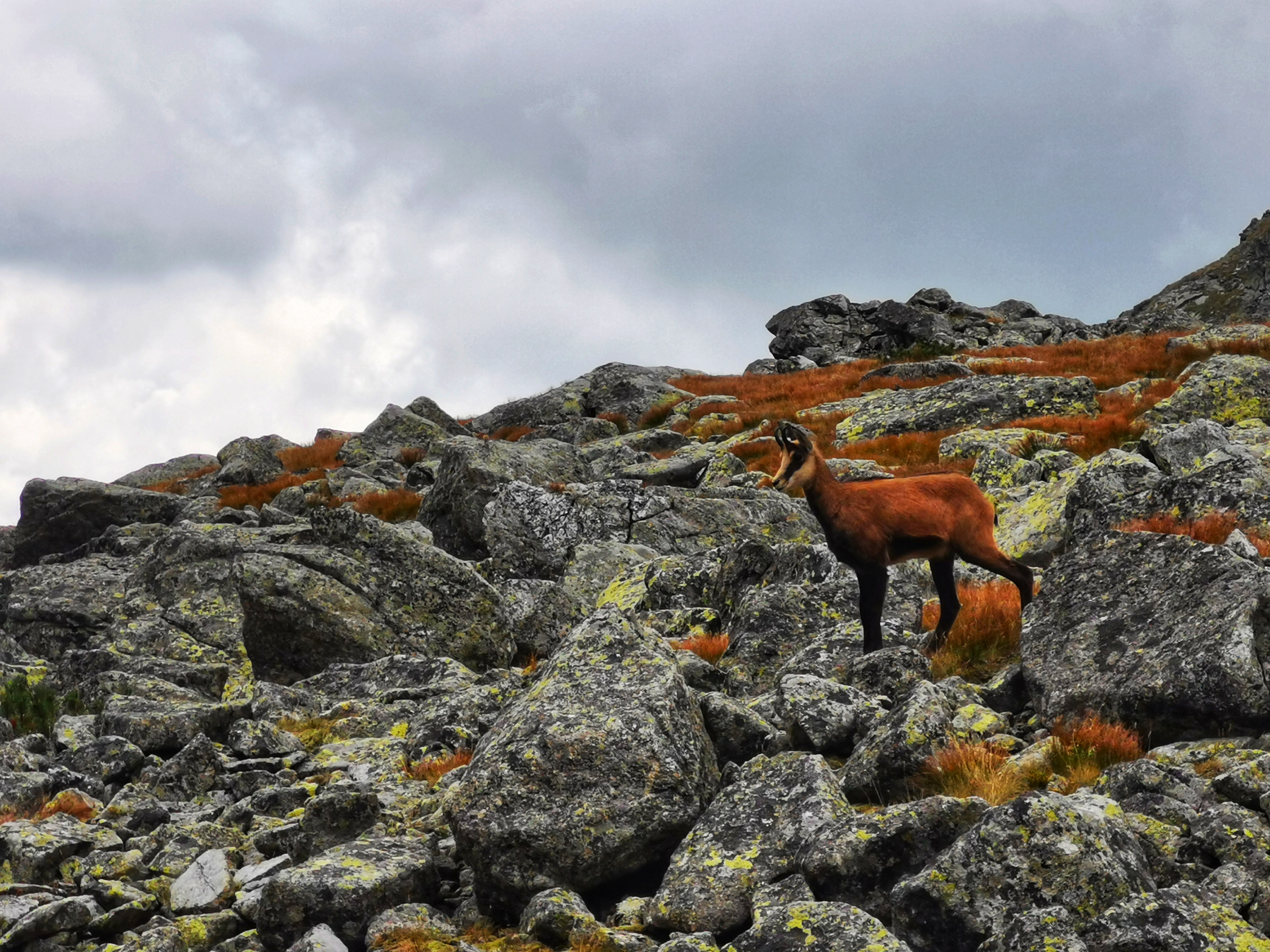
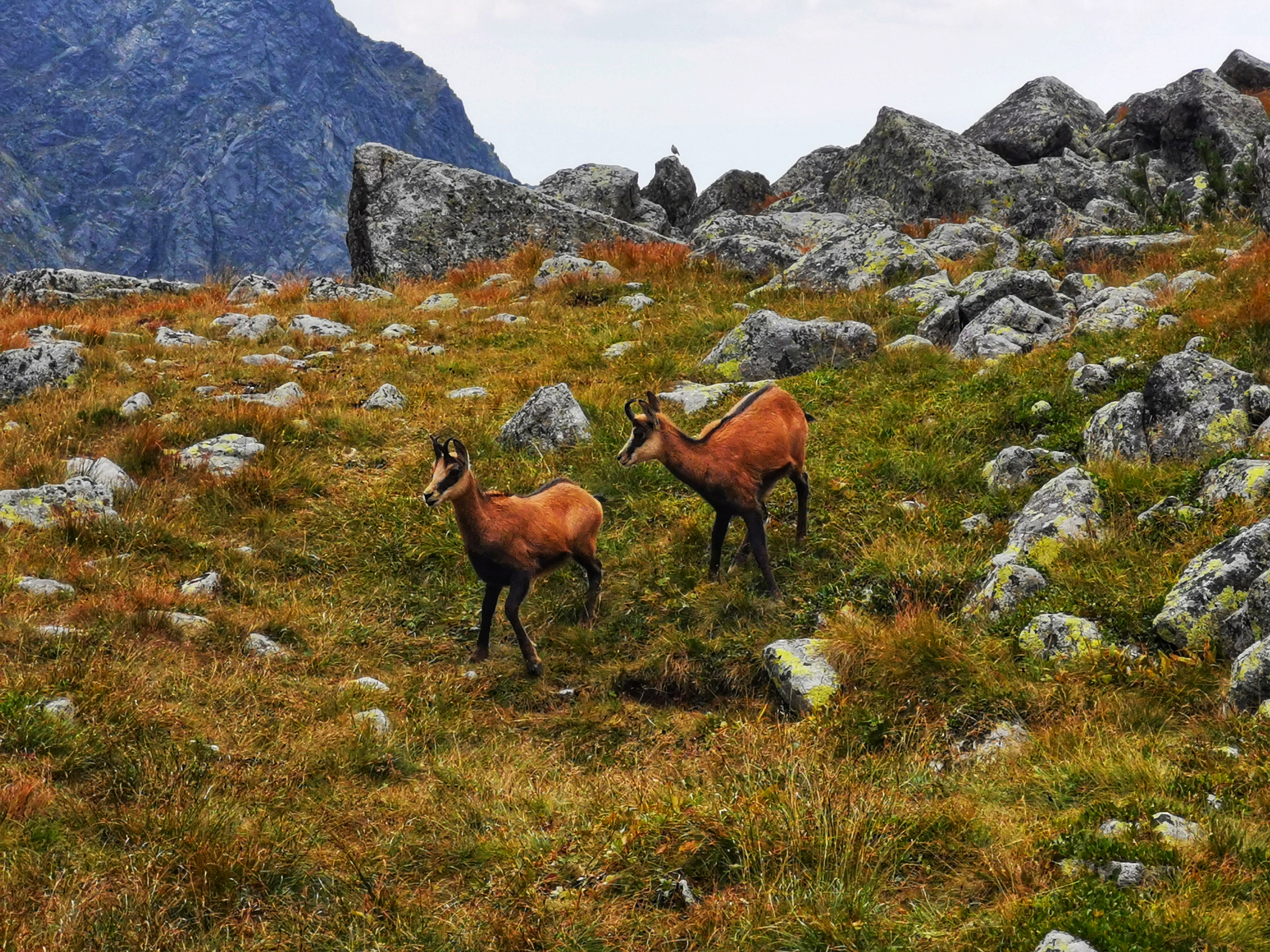
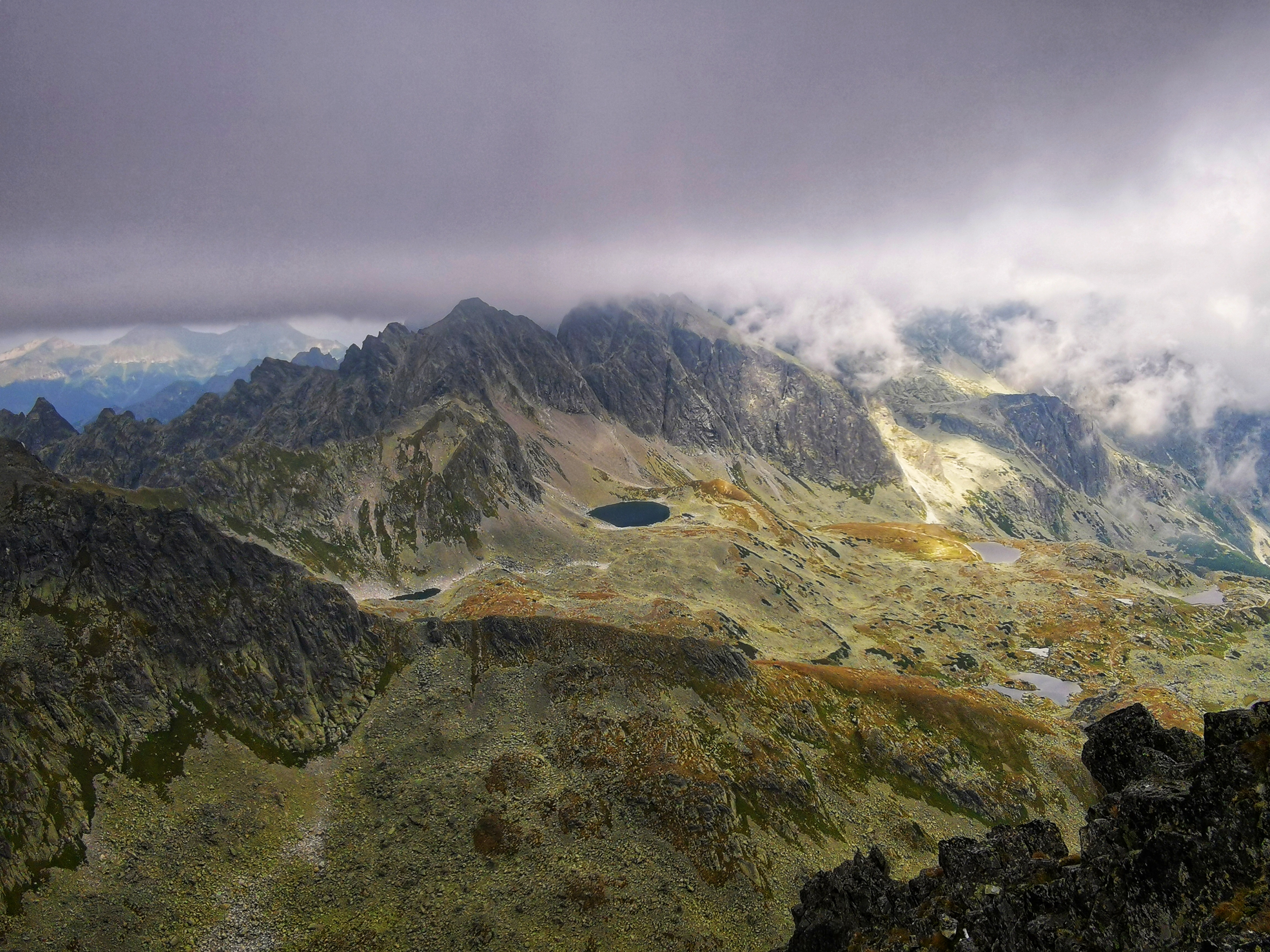
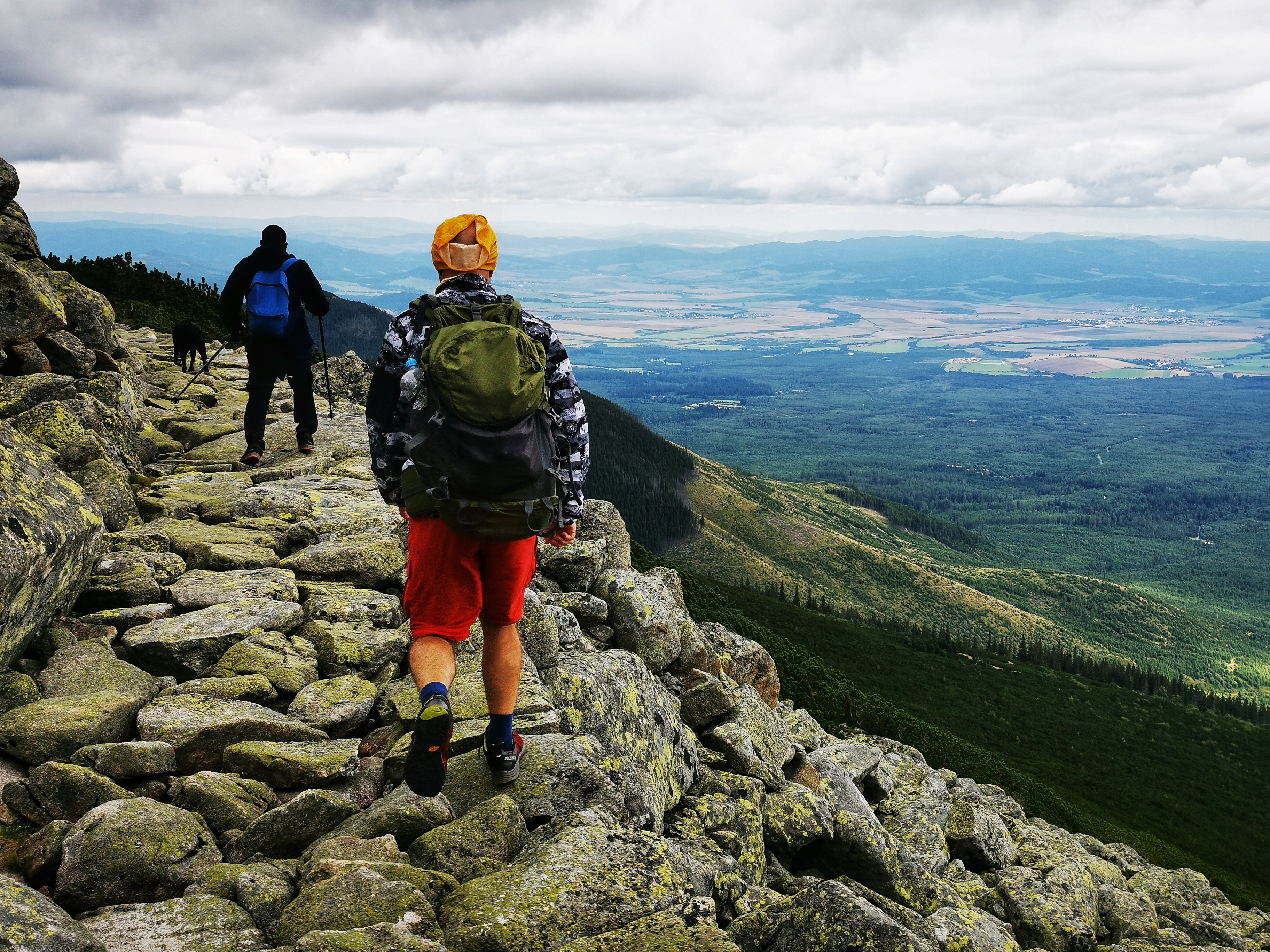
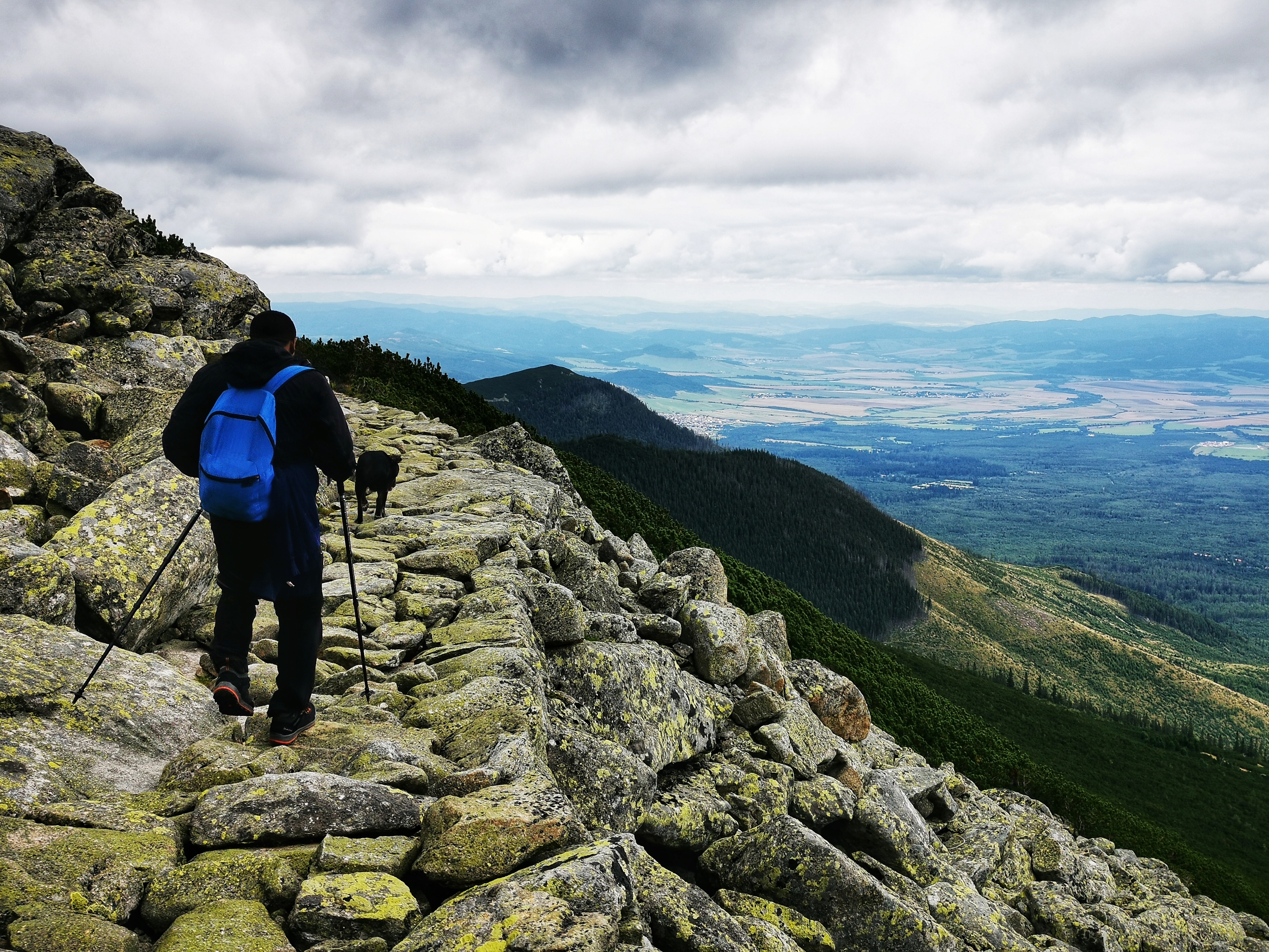
We started our third hike at Hrebienok. From there we hiked to Sliezsky dom mountain cottage and then continued up to the valley of Velická dolina. We met the Tatra chamois on the way.
From Velická dolina we climbed up to Poľský hrebeň (2,200 m). And from there we got to Východná Vysoká (2,429 m). To get to another valley we had to climb back down to Poľský hrebeň and then pass through the mountain pass Prielom (2,290 m). From Prielom it was just downhill to the Zbojnícka chata mountain cottage (1,950m) and back to Hrebienok and eventually the town of Vysoké Tatry.