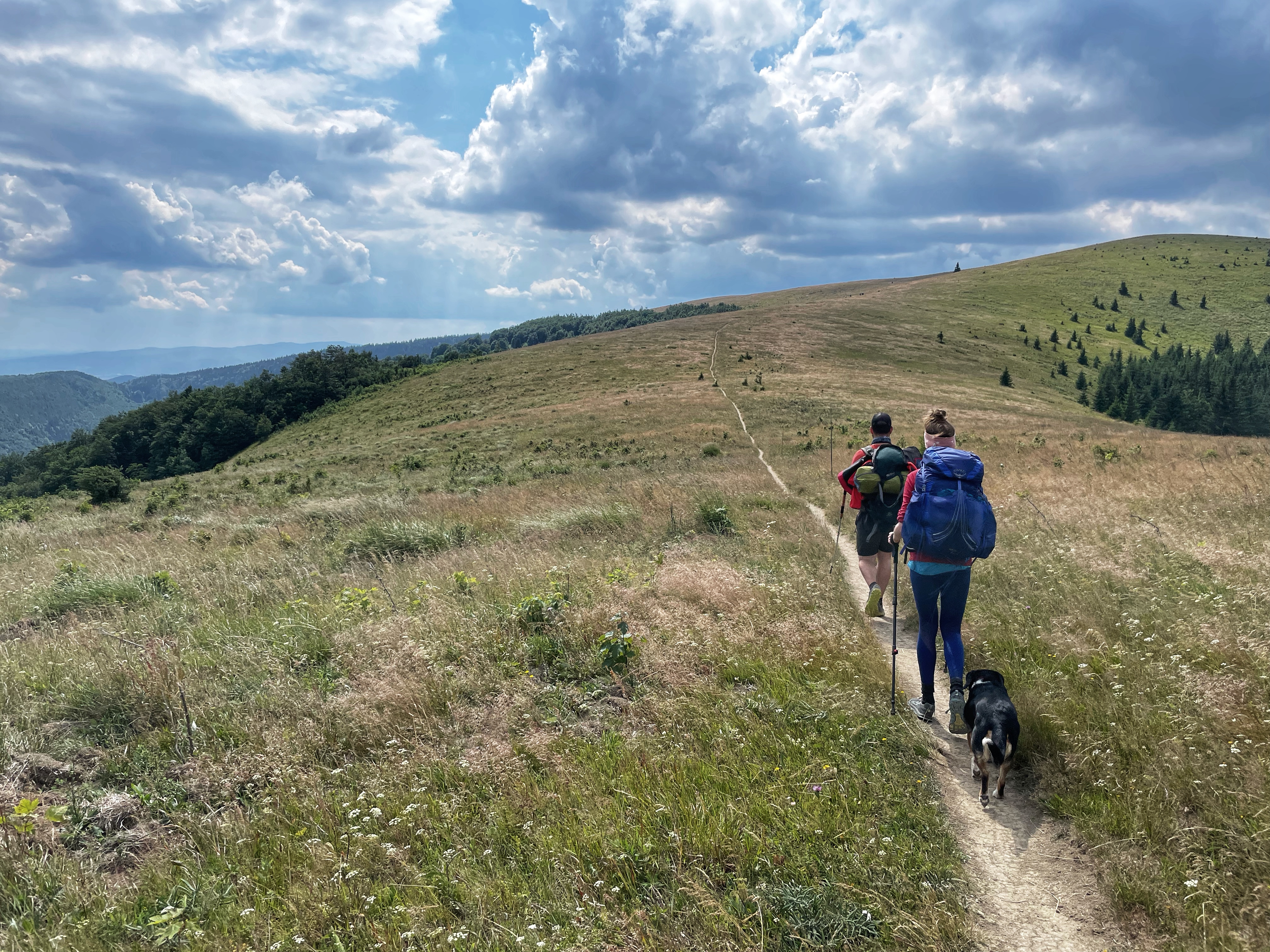
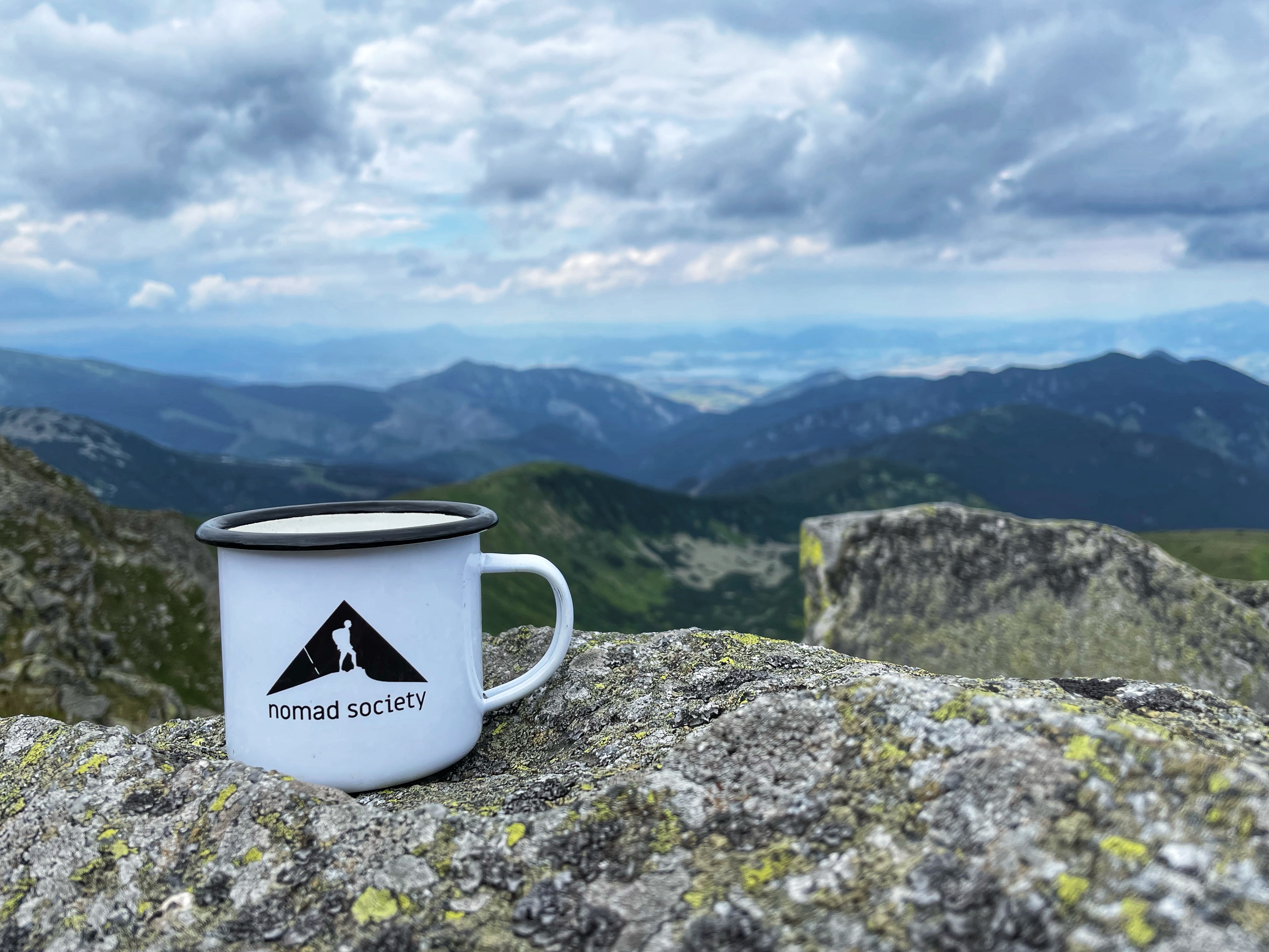
Do you like multi-day hikes? We have a tip for you! Crossing the ridge of the Low Tatras (Nízke Tatry) is a 97 km long trek that is considered to be one of the most beautiful tourist routes in Slovakia. Andrej and Michal walked the trail during the summer. If you are up to it, you can easily do the same.
First day: Telgárt – Andrejcova cottage
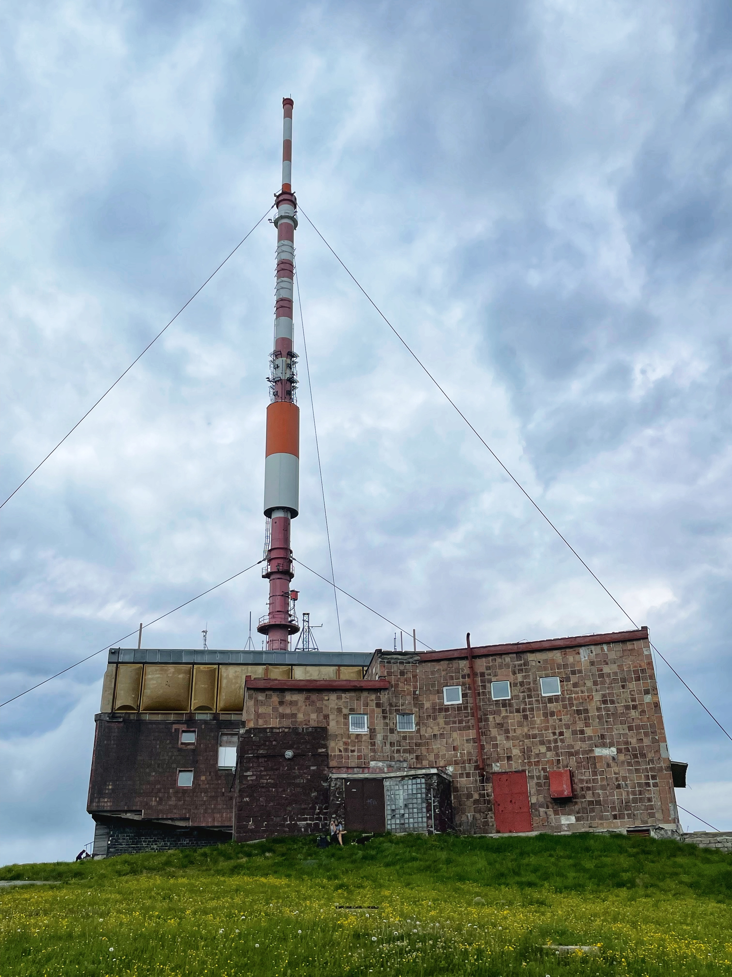
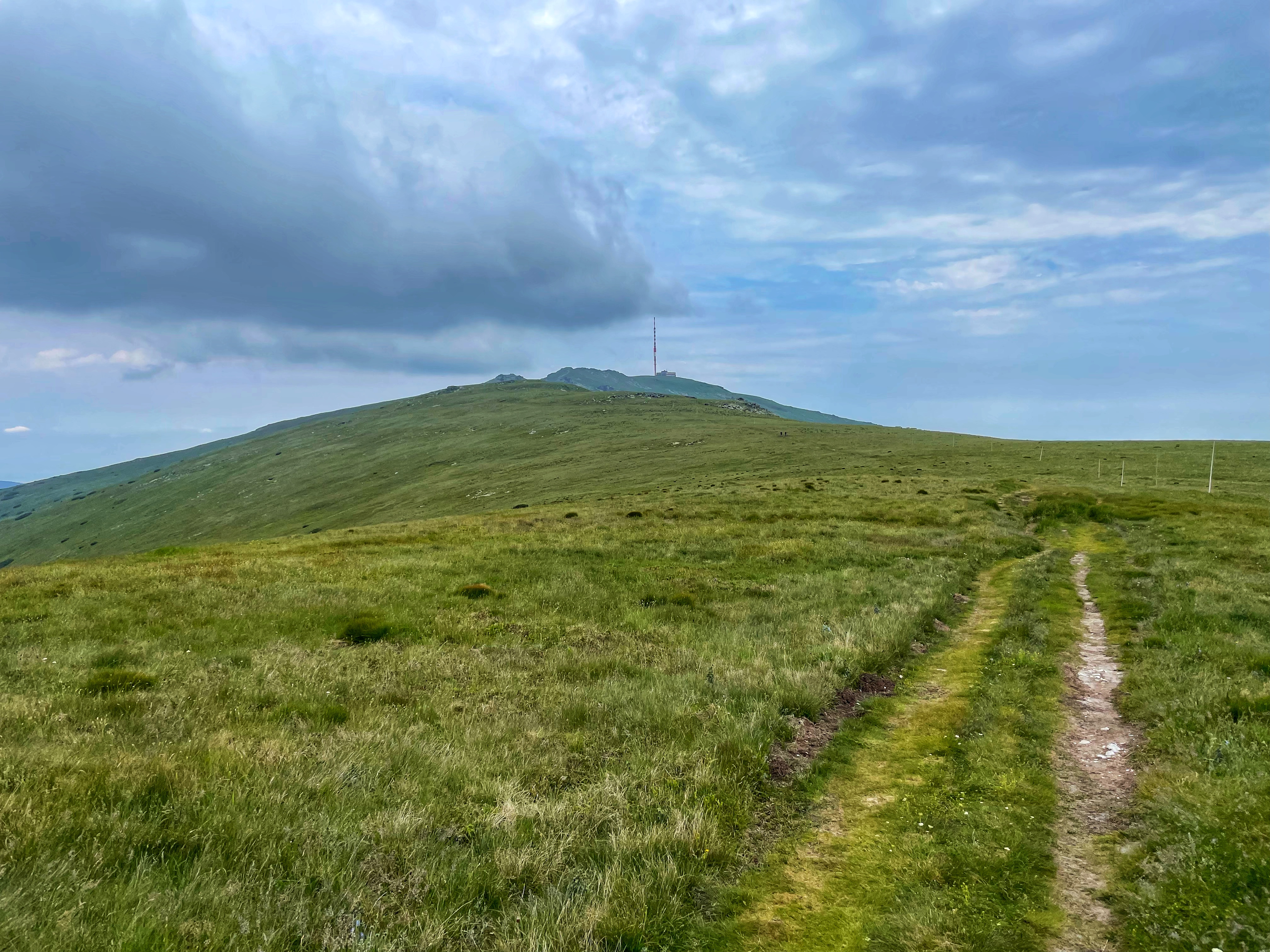
We started the hike at the village of Telgárt. From there we walked up to Kráľova hoľa (1,946 m AMSL) following the red hiking path. This was the hardest part of the path we planned for ourselves for the first day. Kráľova hoľa is the highest mountain of the eastern part of the Low Tatras. Four rivers rise at its foot: Čierny Váh, Hnilec, Hornád, and Hron. In 1960, a TV transmitter with a 137.5 metres tall guyed tubular mast was built on the top. There is also a weather station, a station of the mountain rescue service and an emergency shelter.
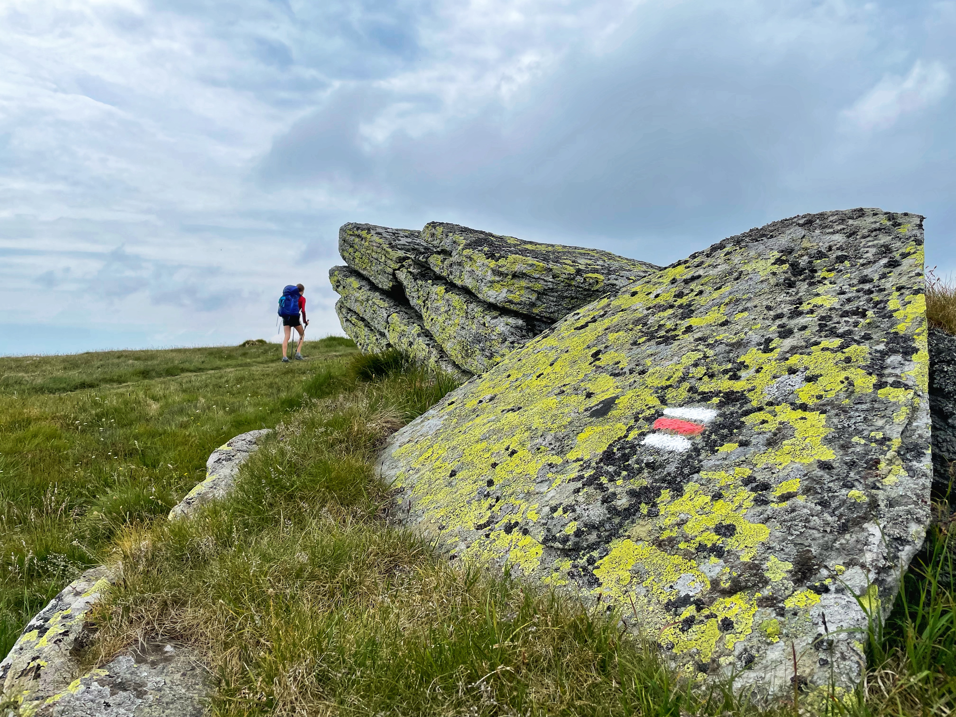
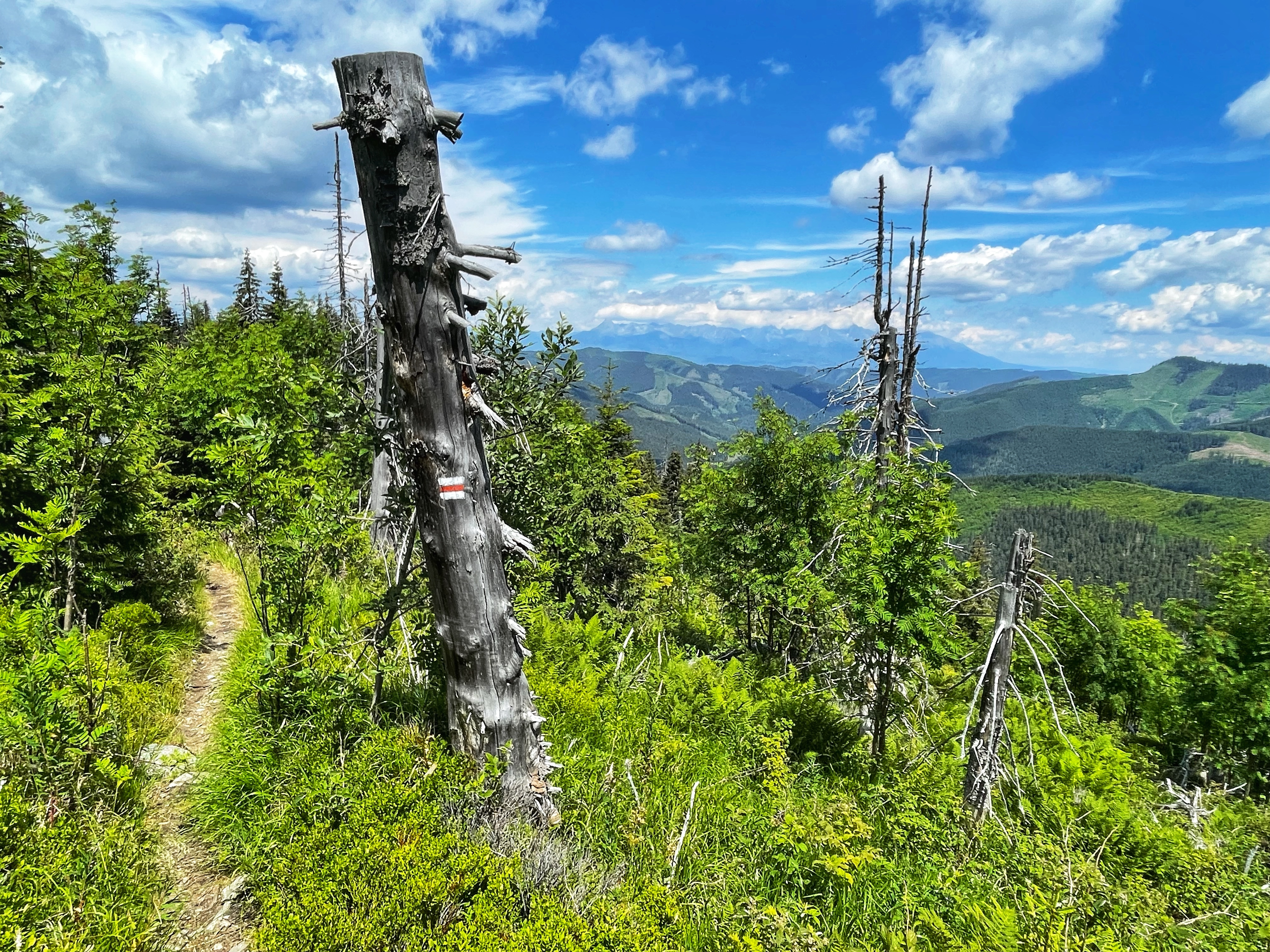
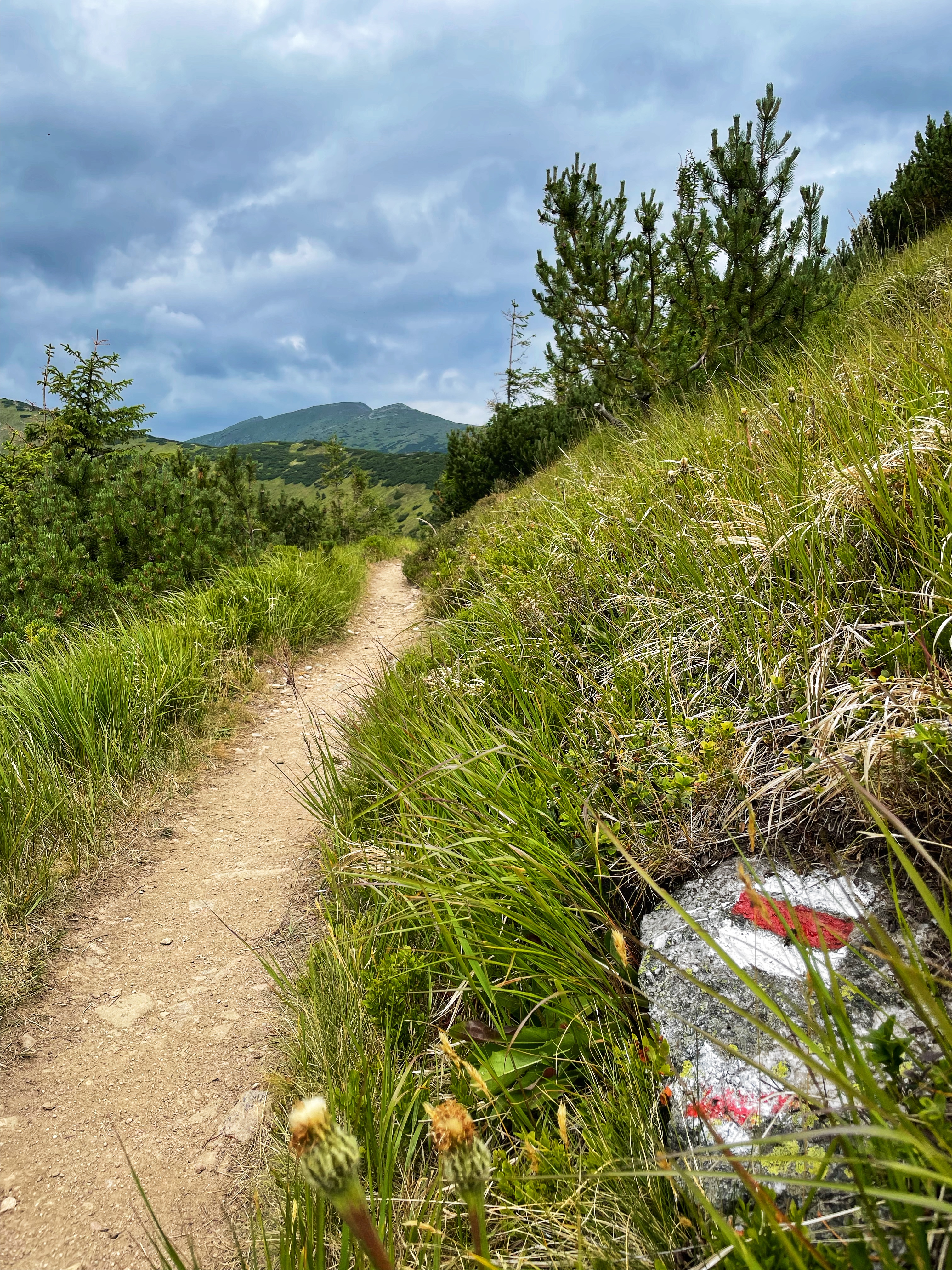
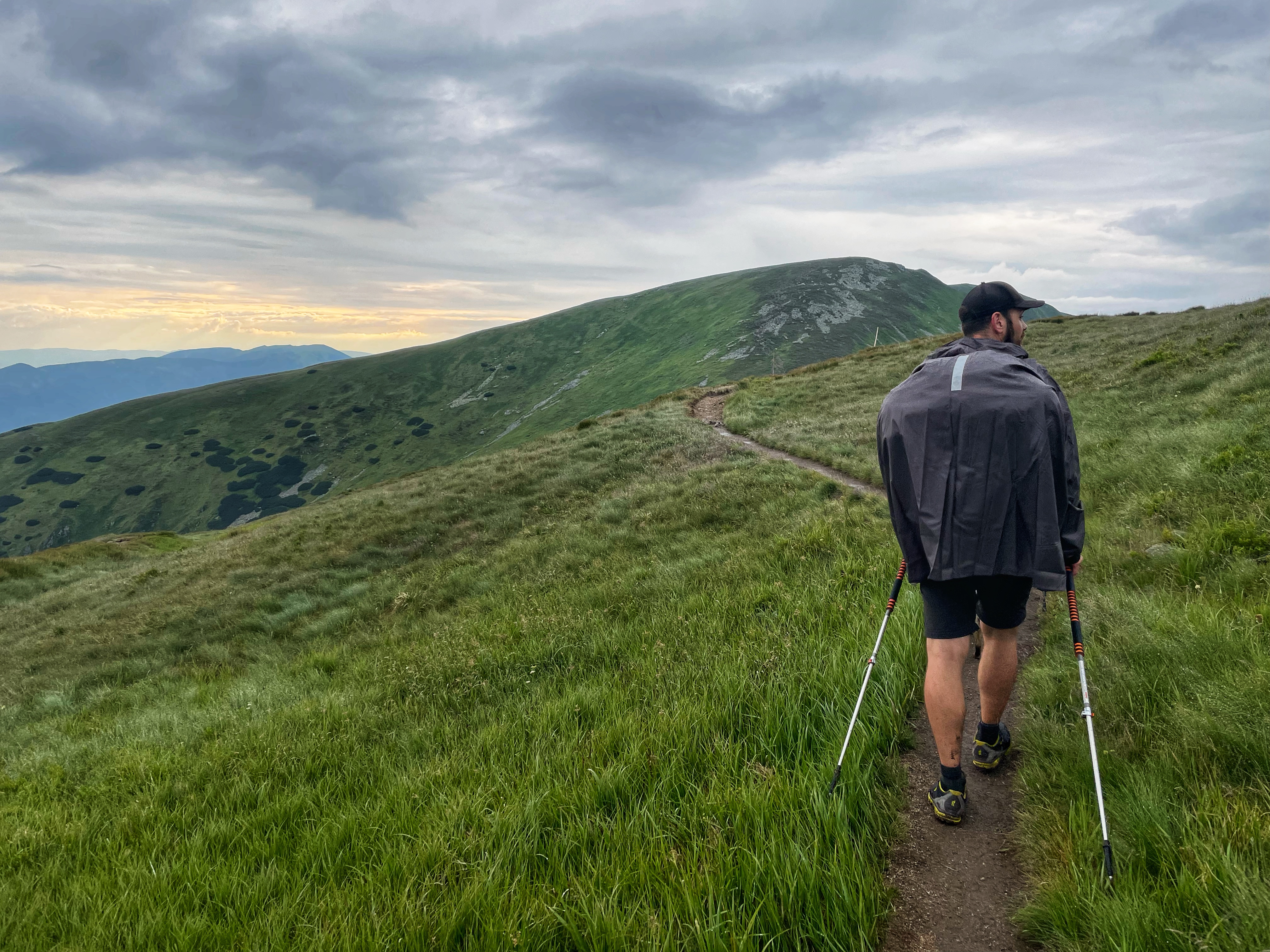
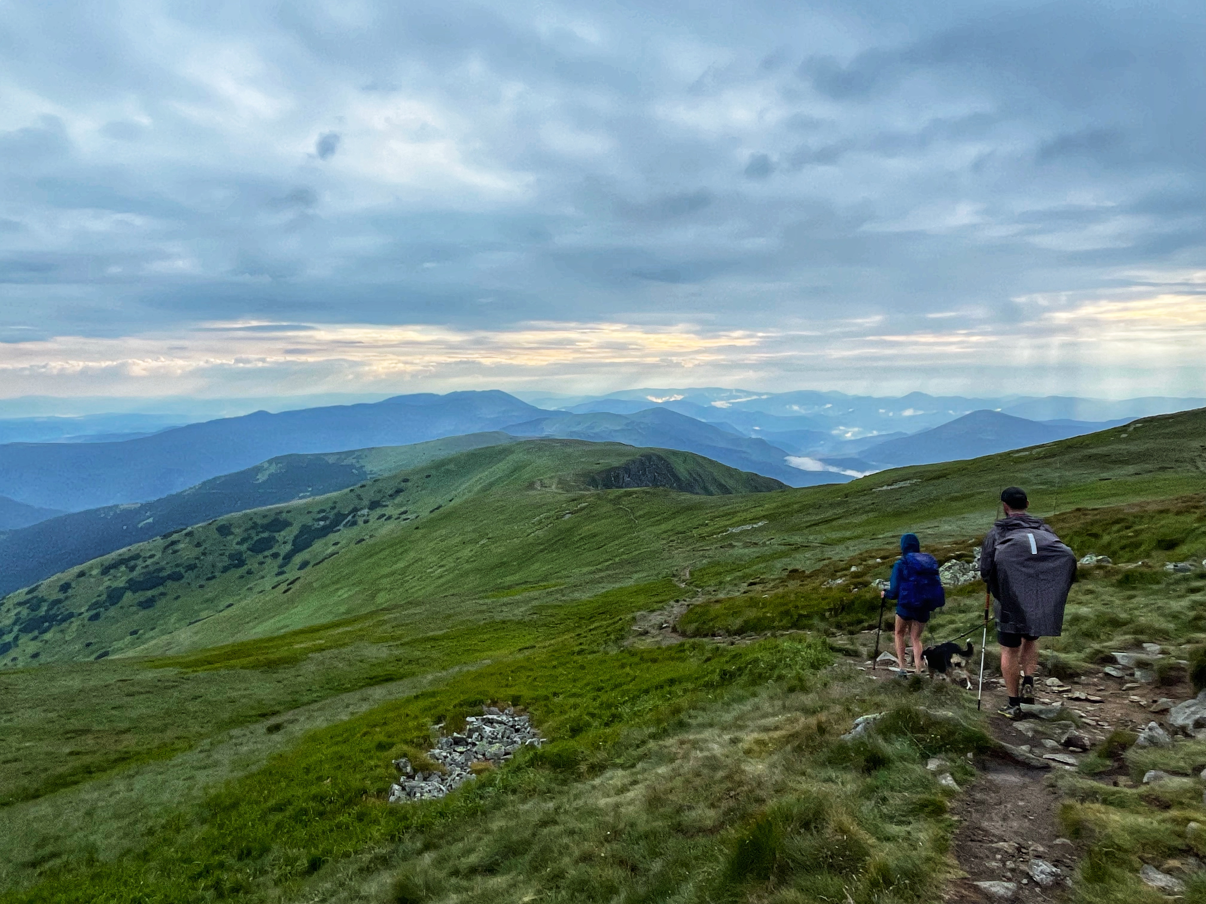
The red path is the one that crosses the ridge of the Low Tatras and shall be your companion during the whole walk. If you find yourself walking on a path of another color, you are lost.
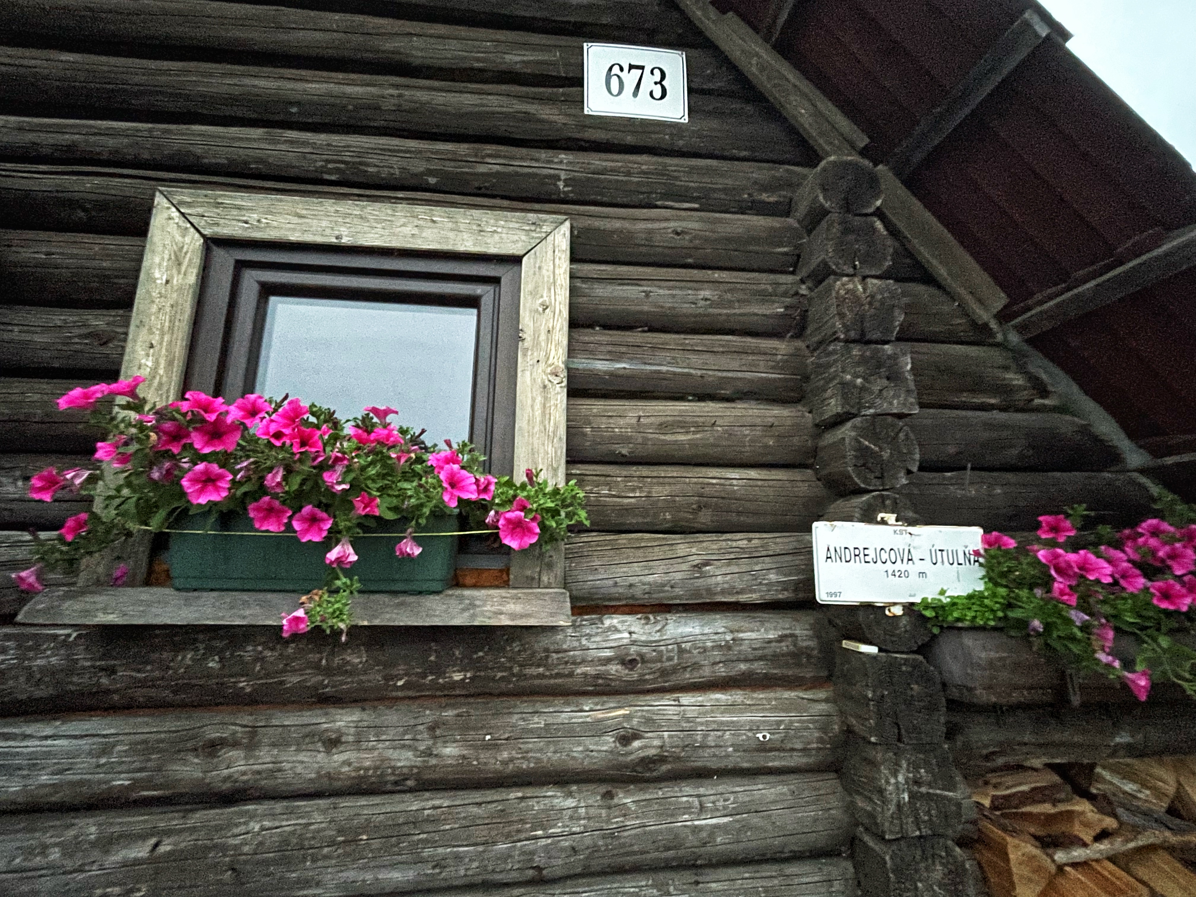
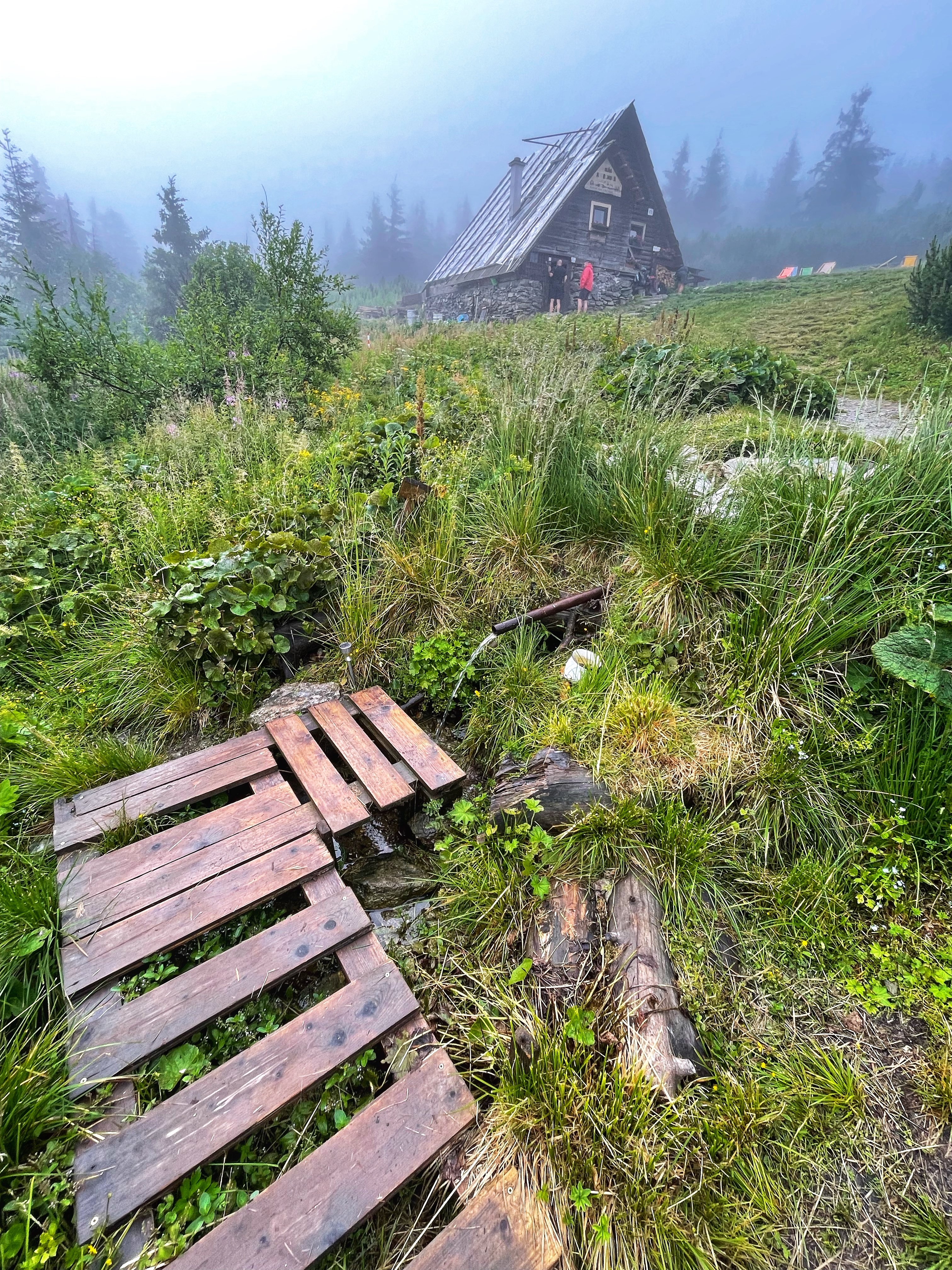
From Kráľova hoľa we continued to Andrejcova cottage where we stayed for the night. Warm dinner, cold beer and breakfast was a welcomed encouragement for another day of walking. We also recommend to try Tatra herbal tea. If you want to be sure that there will be a space for you in the cottage, make a reservation (the official website of the cottage is available here). During the summer days it is possible to put up a tent next to the cottage. Or rent one of the tents that belong to the cottage. Alternatively it is possible to stay over the night at Kráľova hoľa at an emergency shelter if you are not up to walking so much on your first day. However, in that case you would need to carry your own dinner and breakfast (and beer).
On the first day of the hike we walked 16 km and climbed up 1,259 m. This is the route that we took the first day: https://en.mapy.cz/s/rahojafoto.
Second day: Andrejcova cottage – Čertovica mountain pass
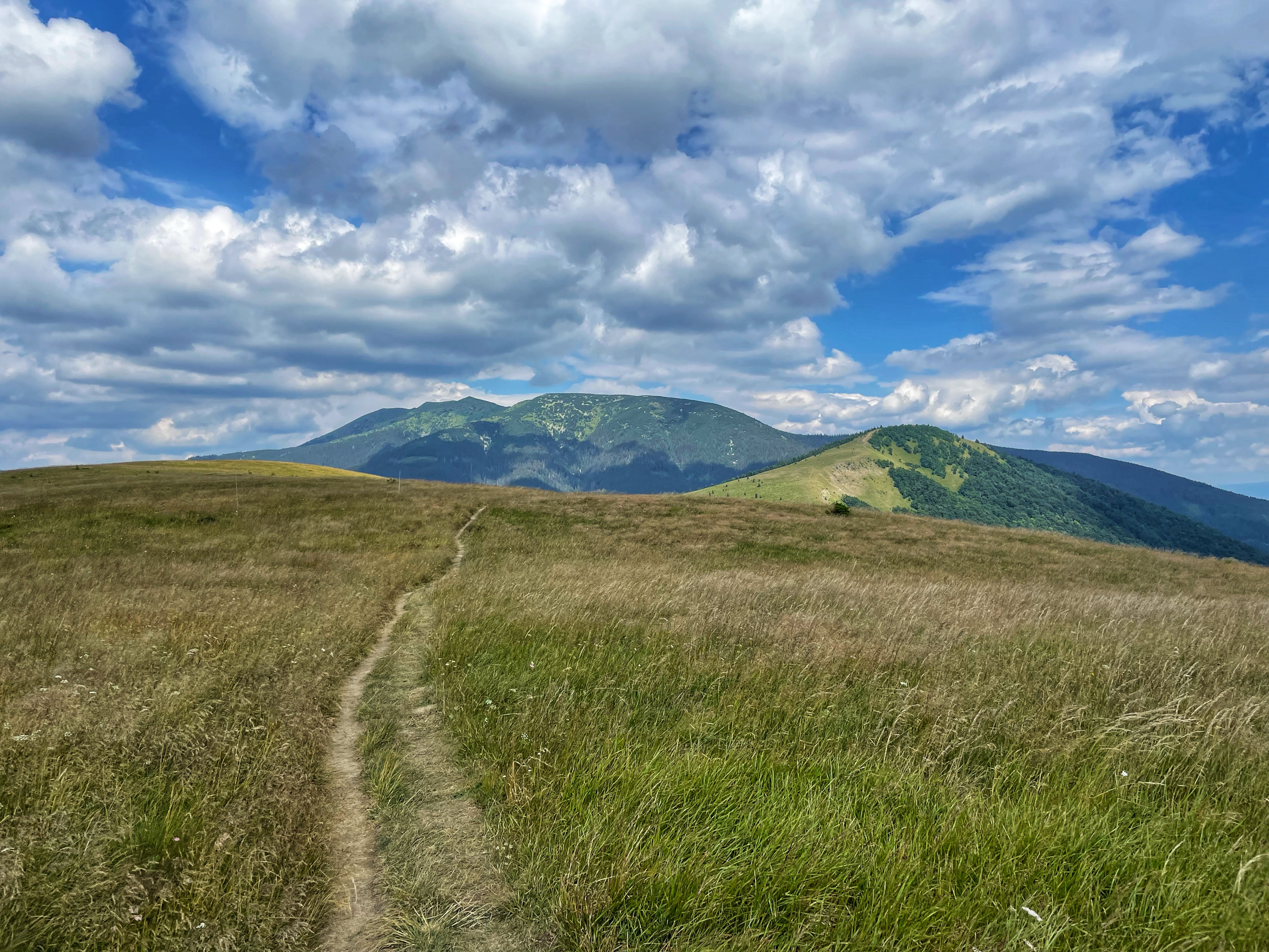
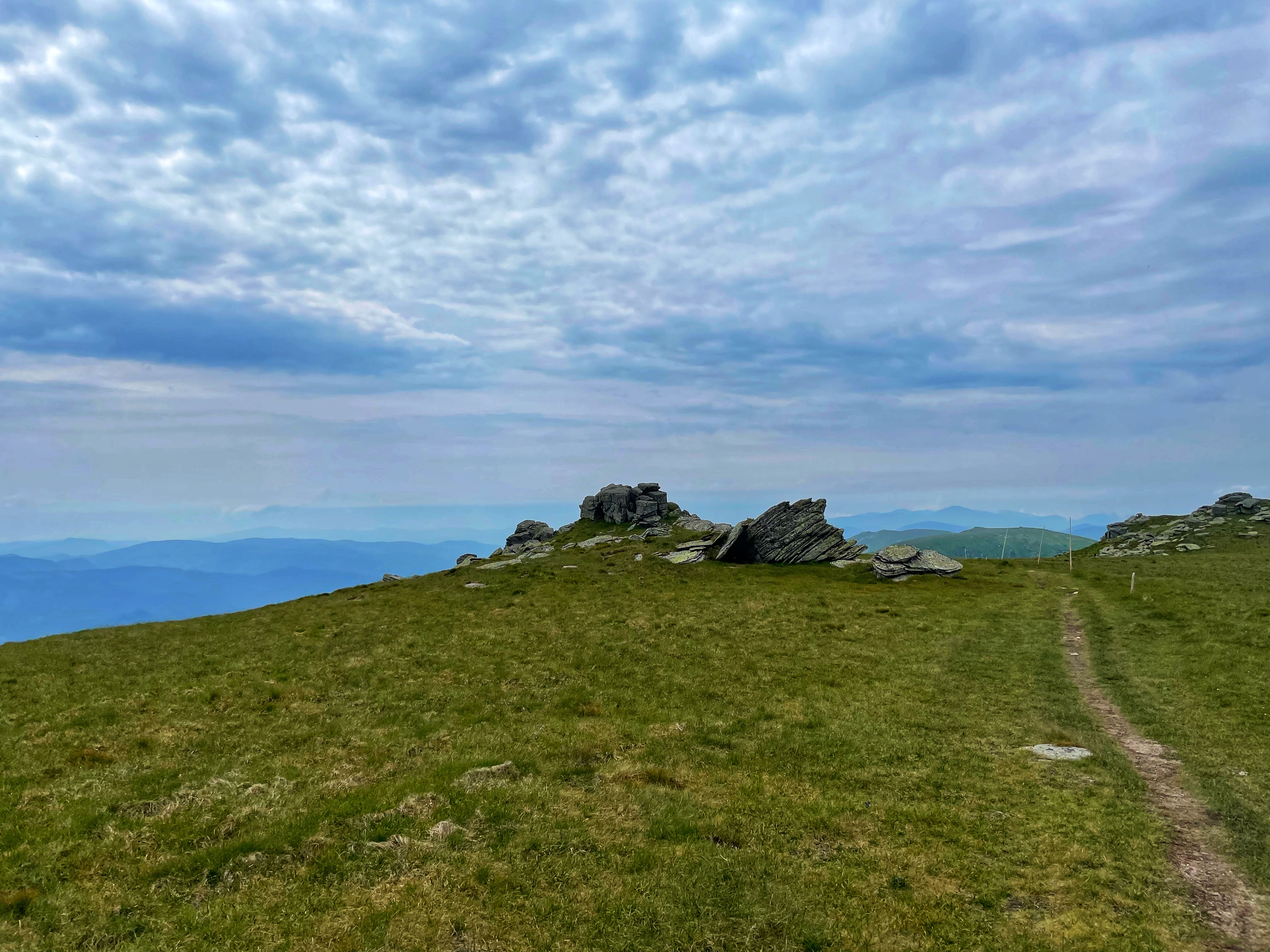
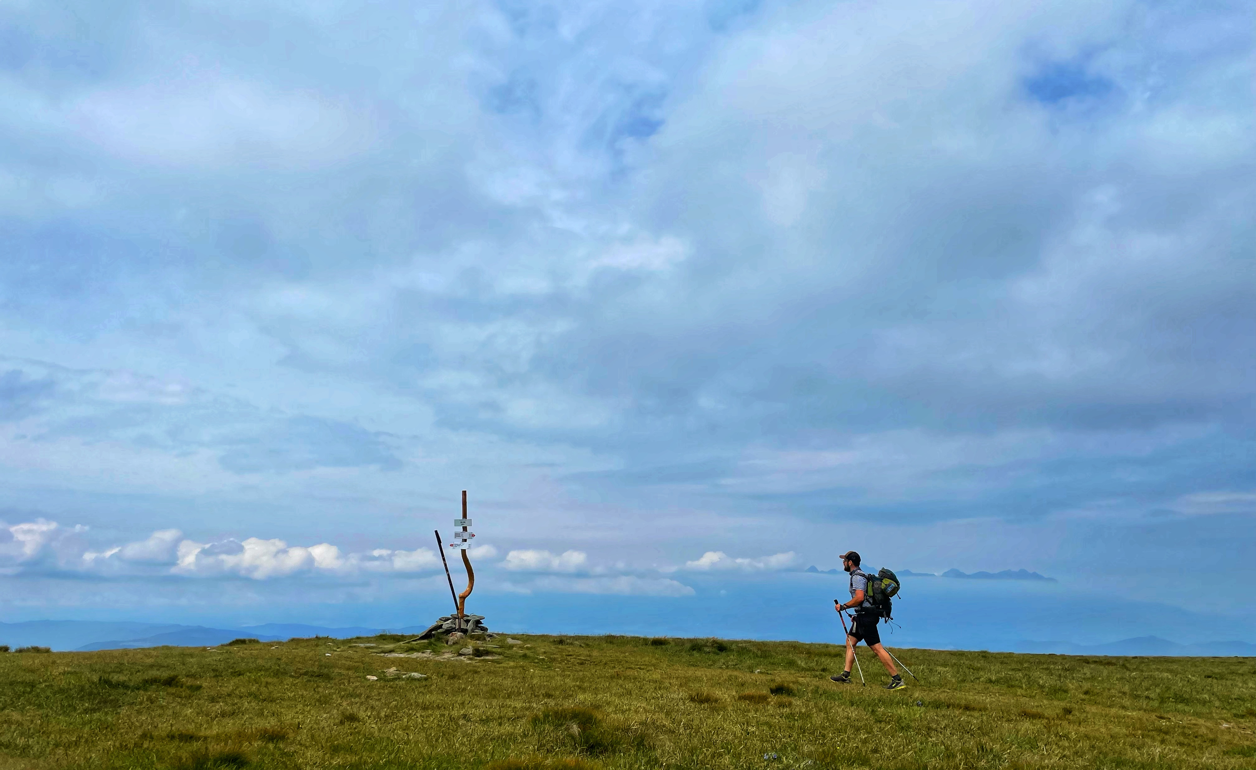
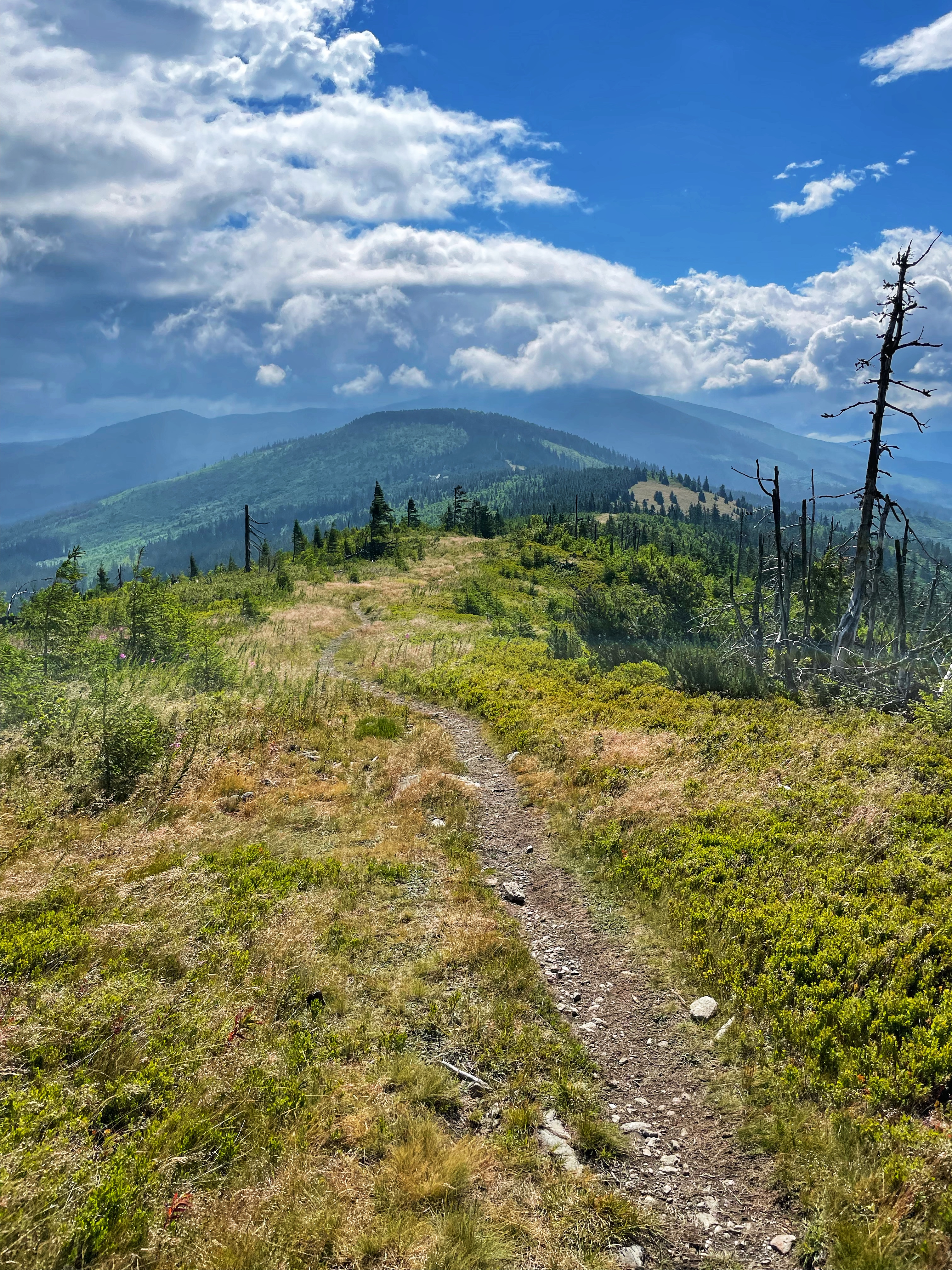
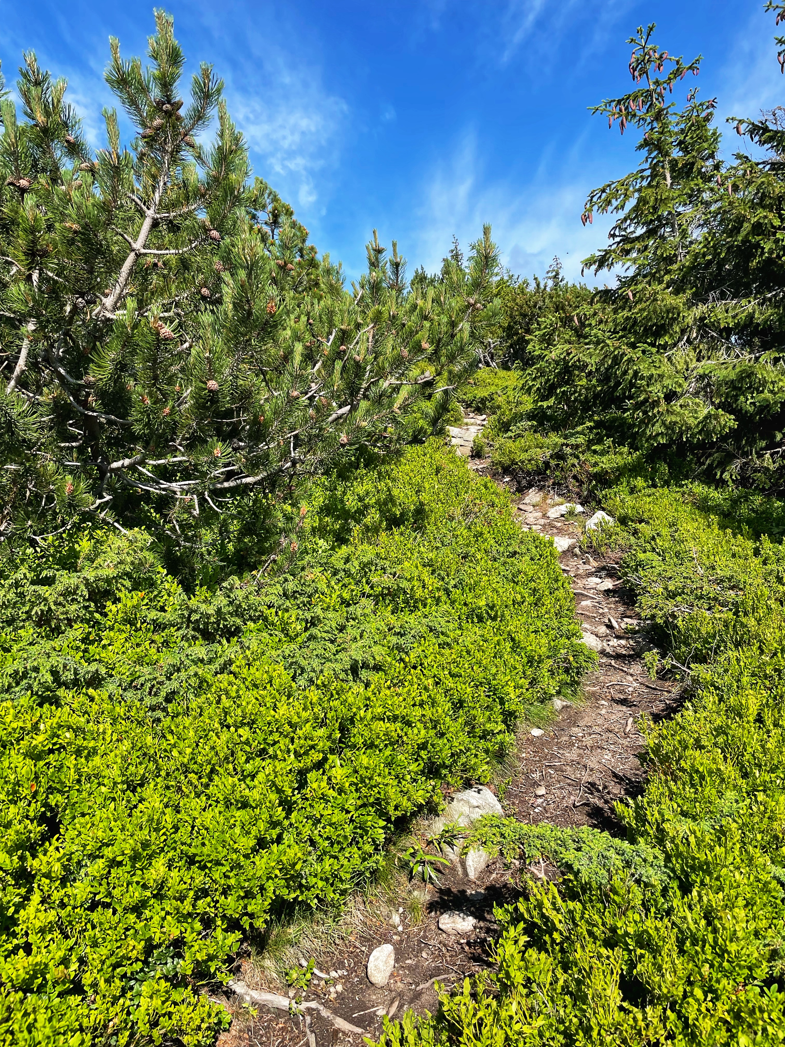
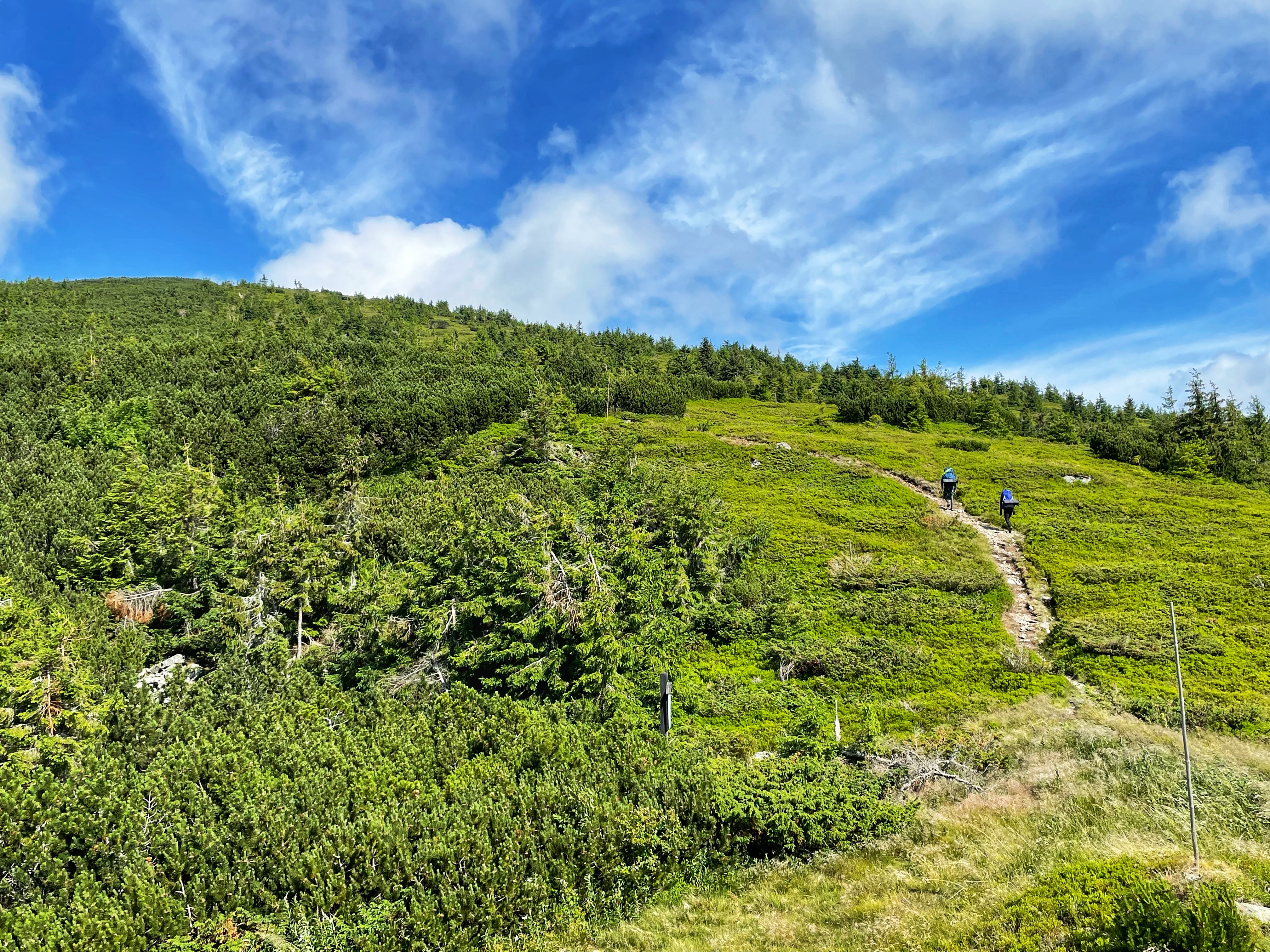
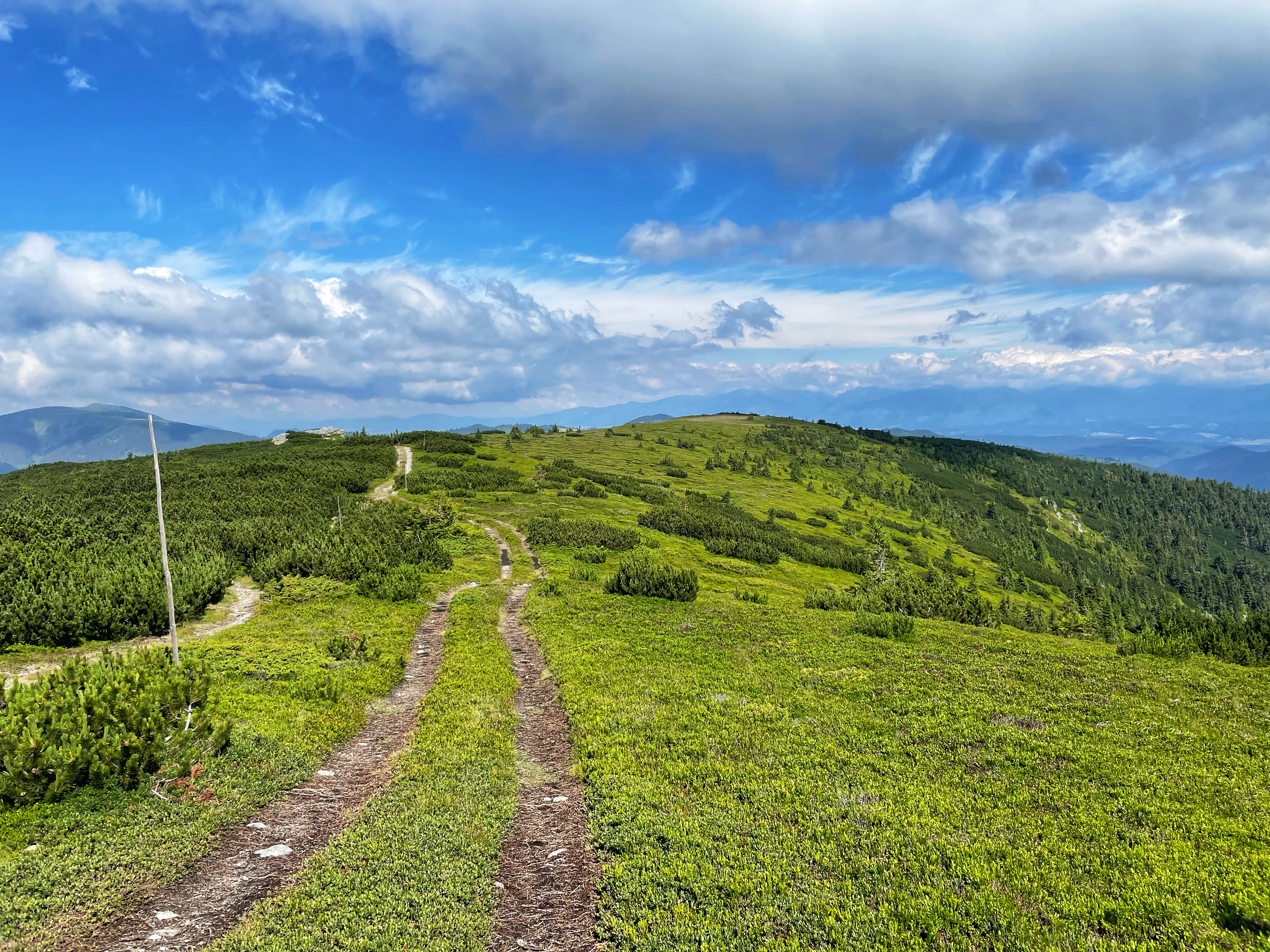
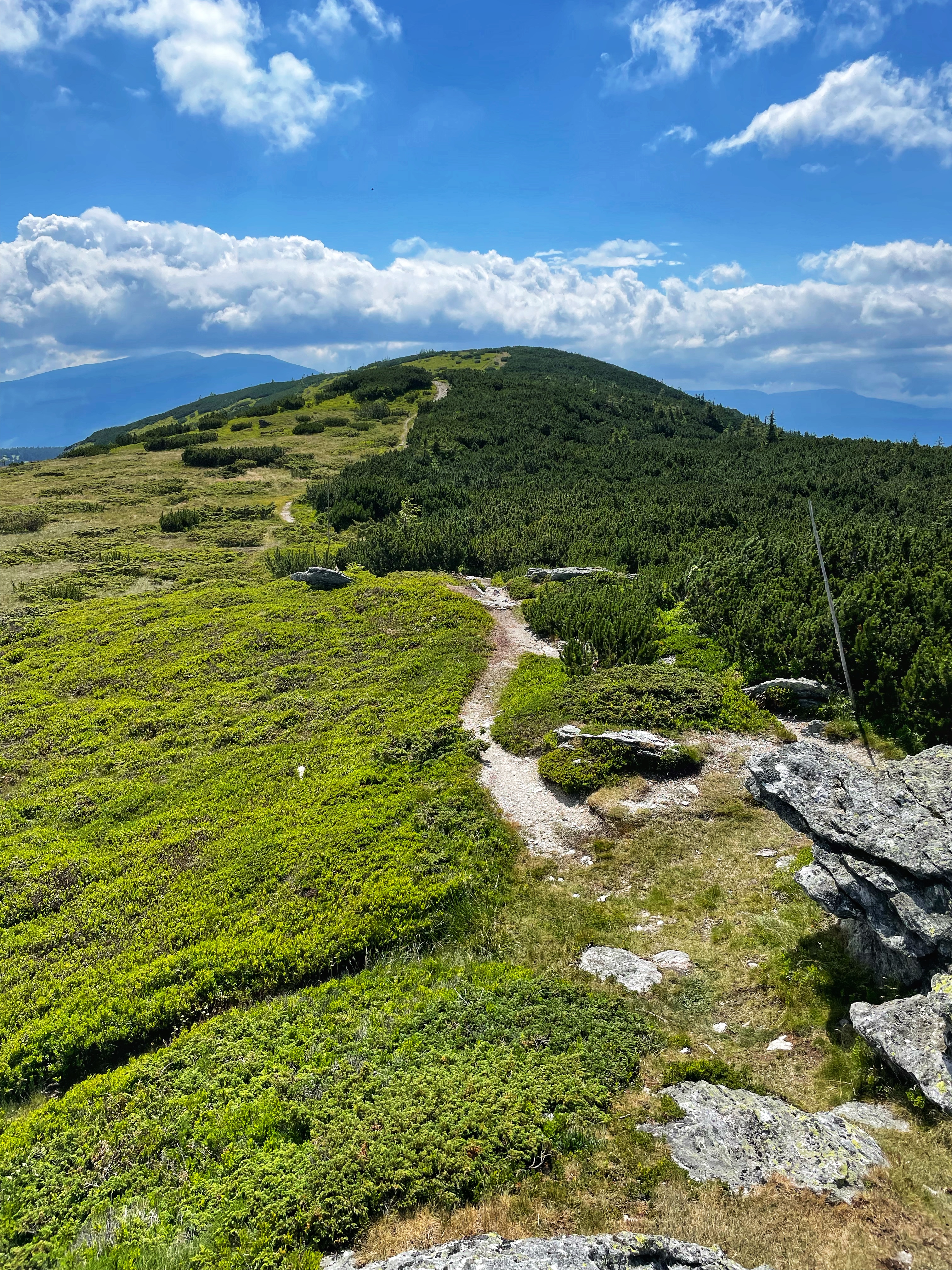
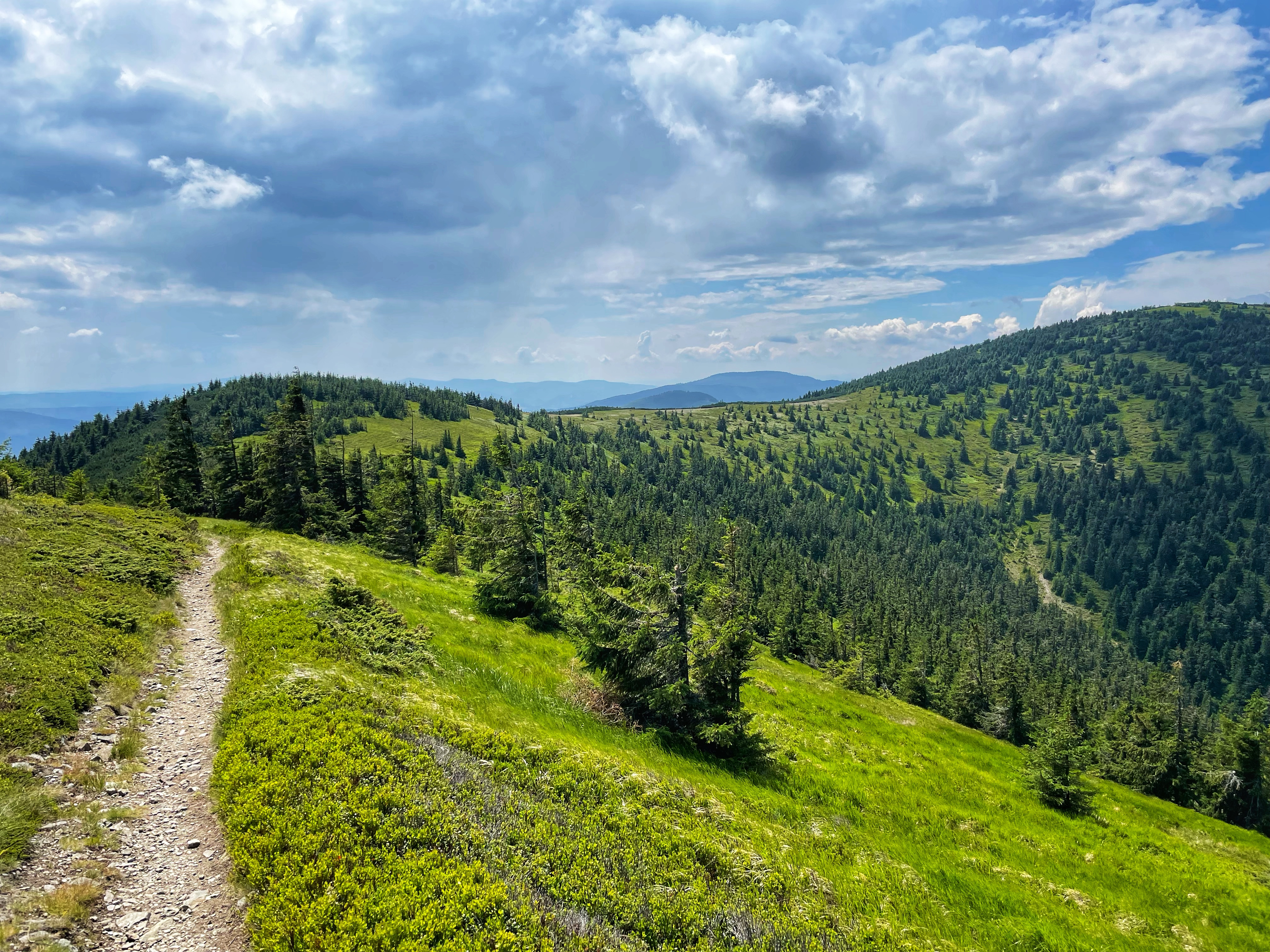
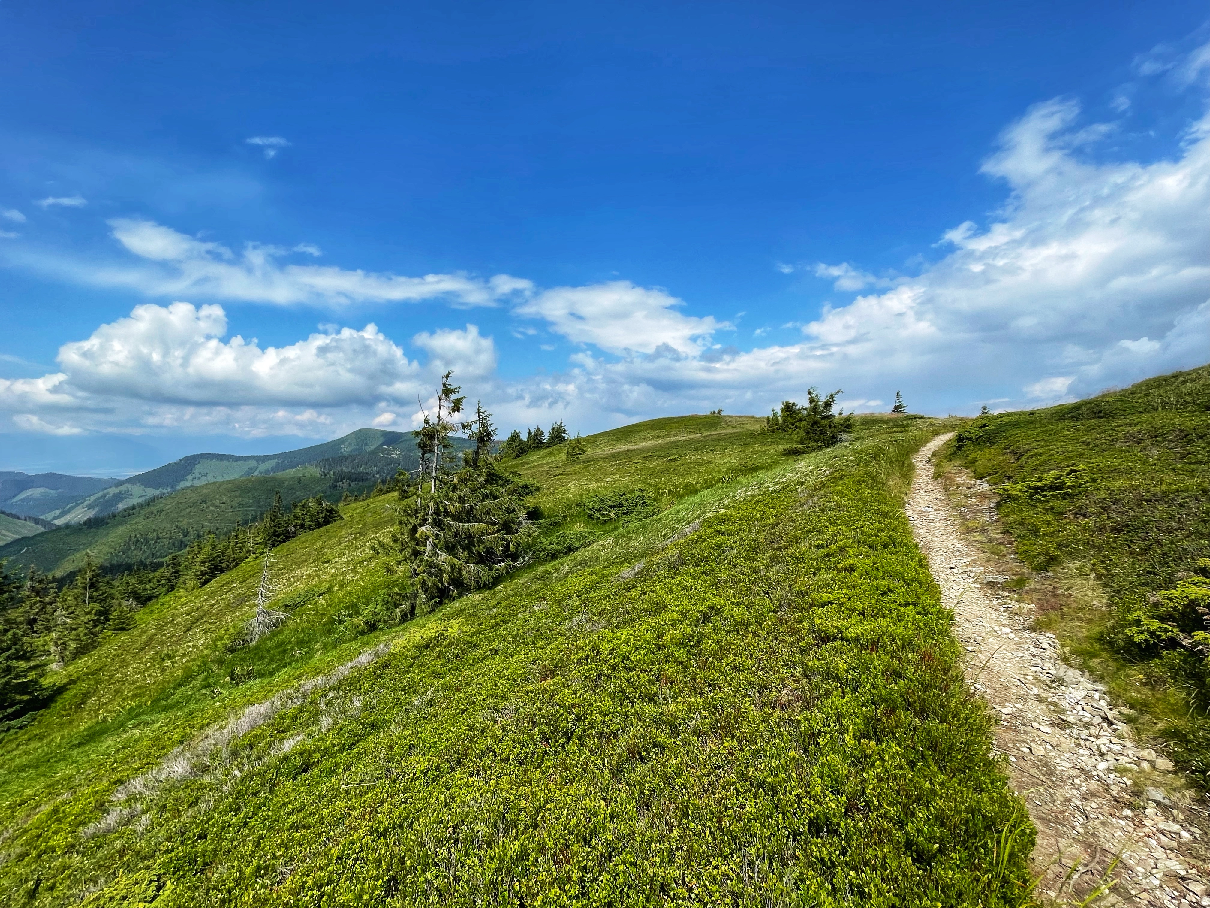
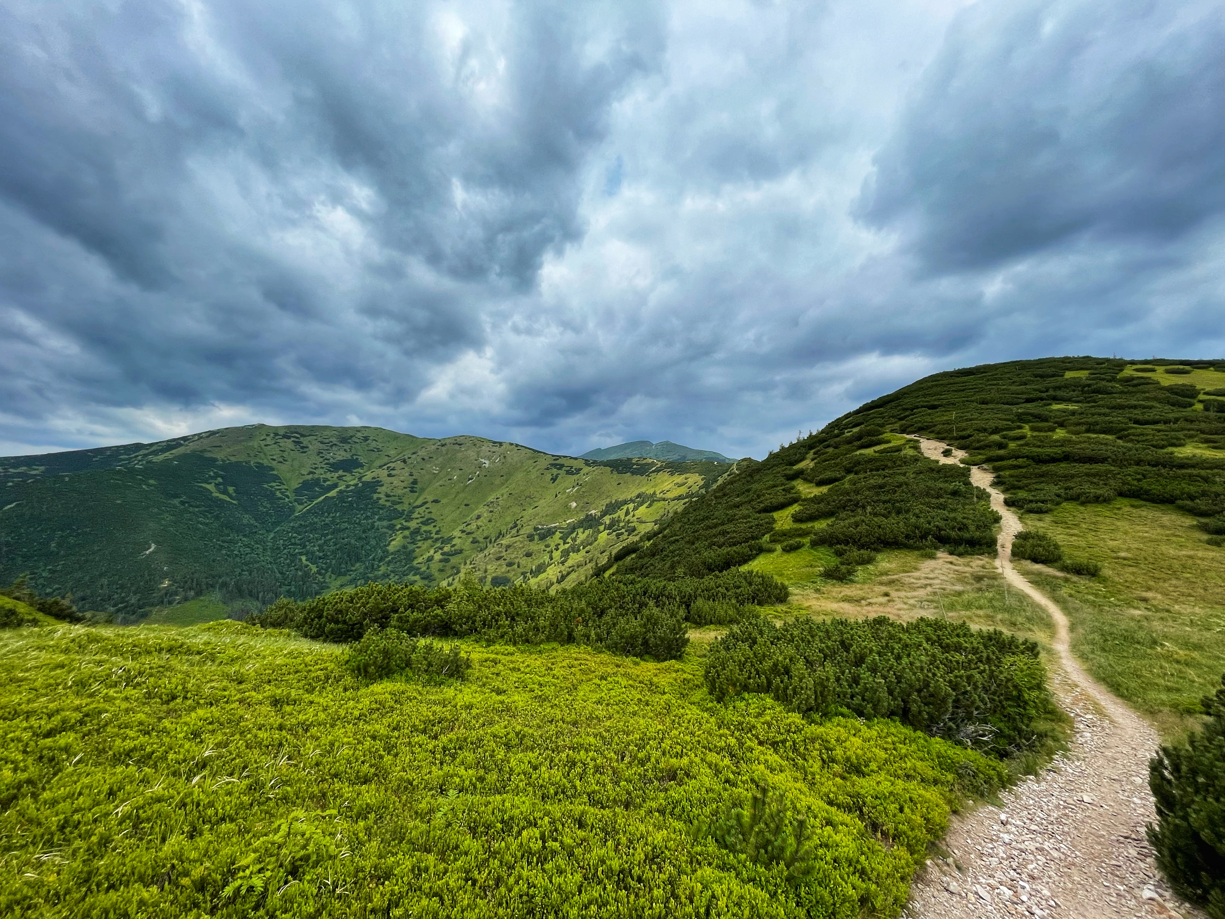
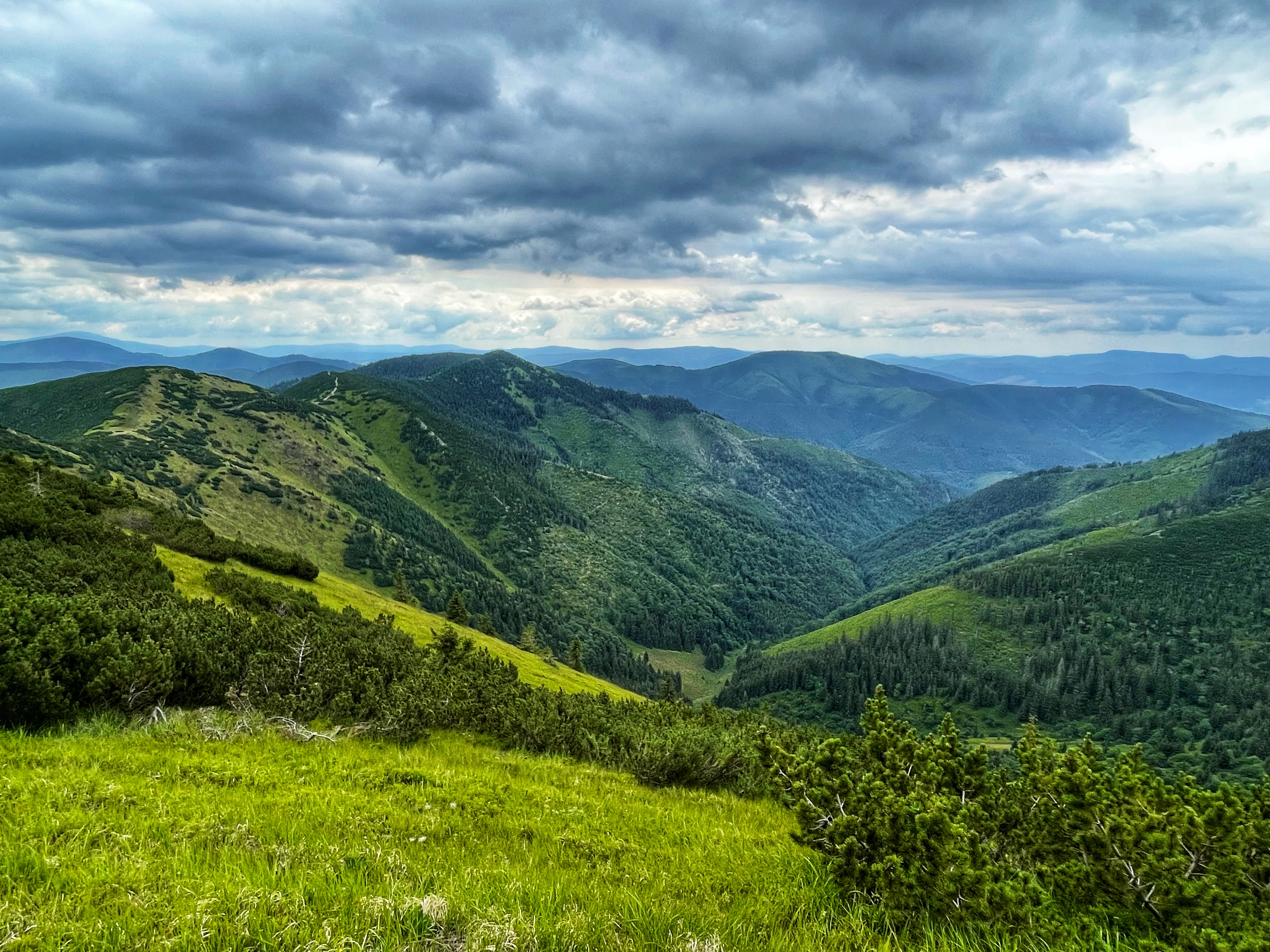
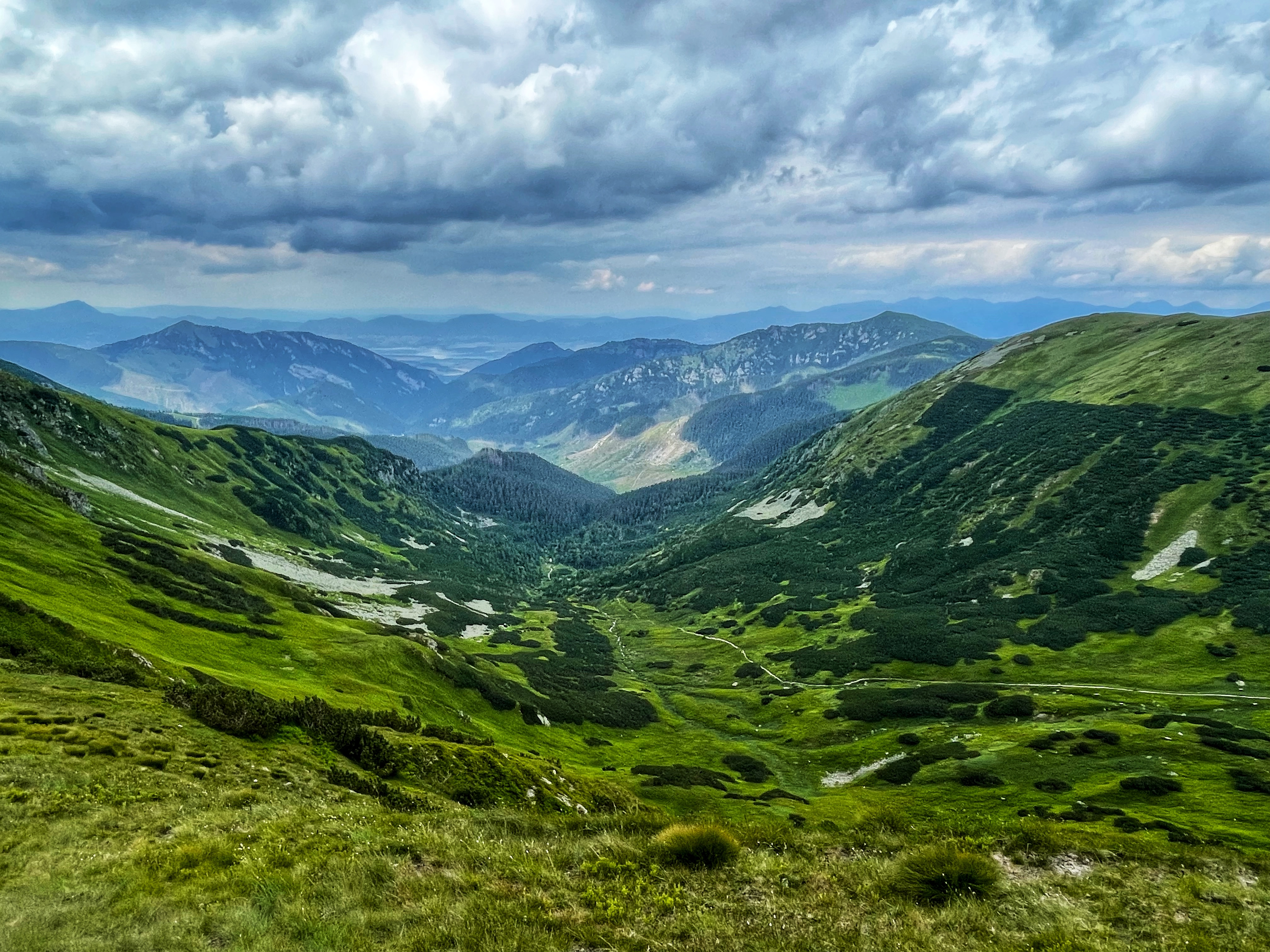
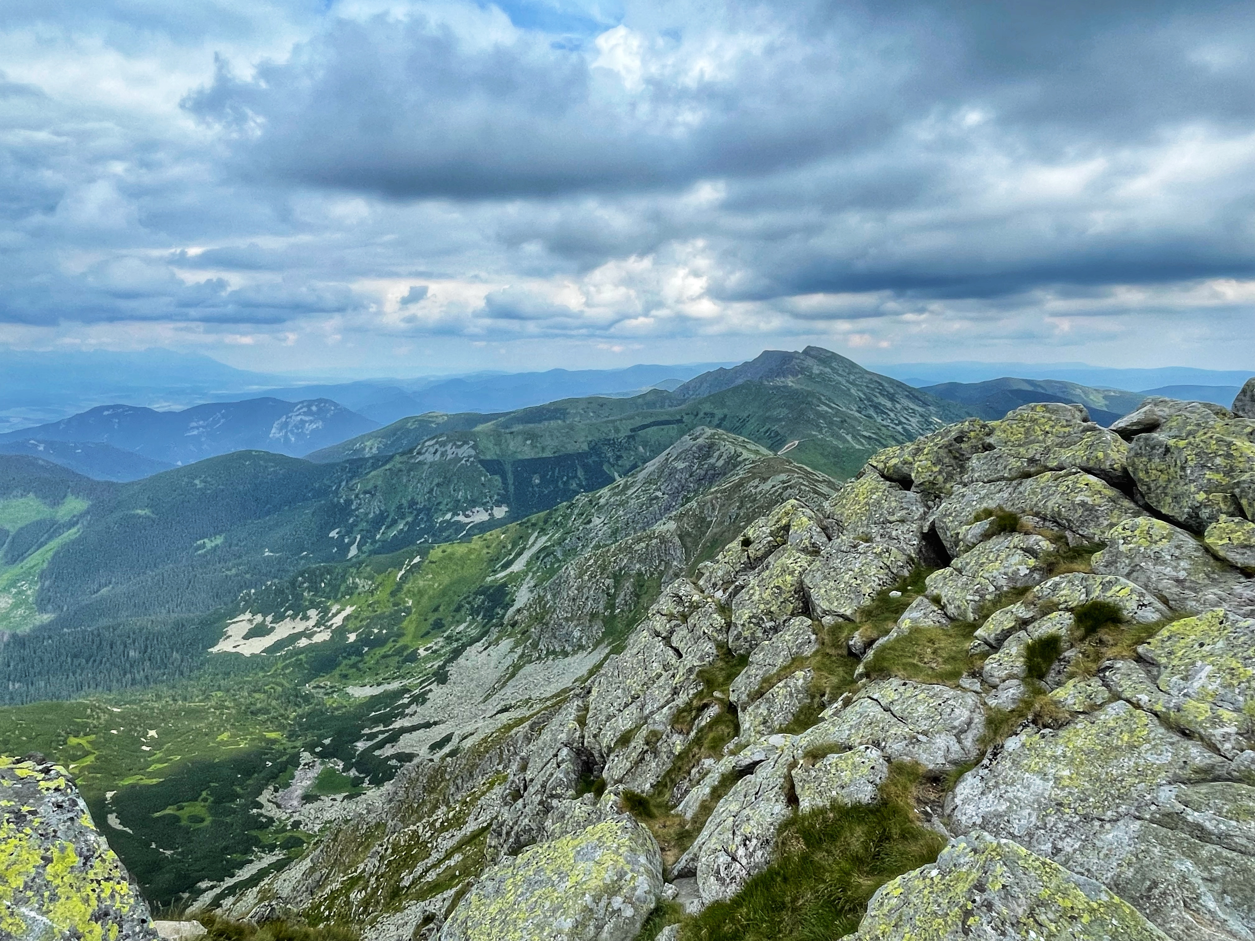
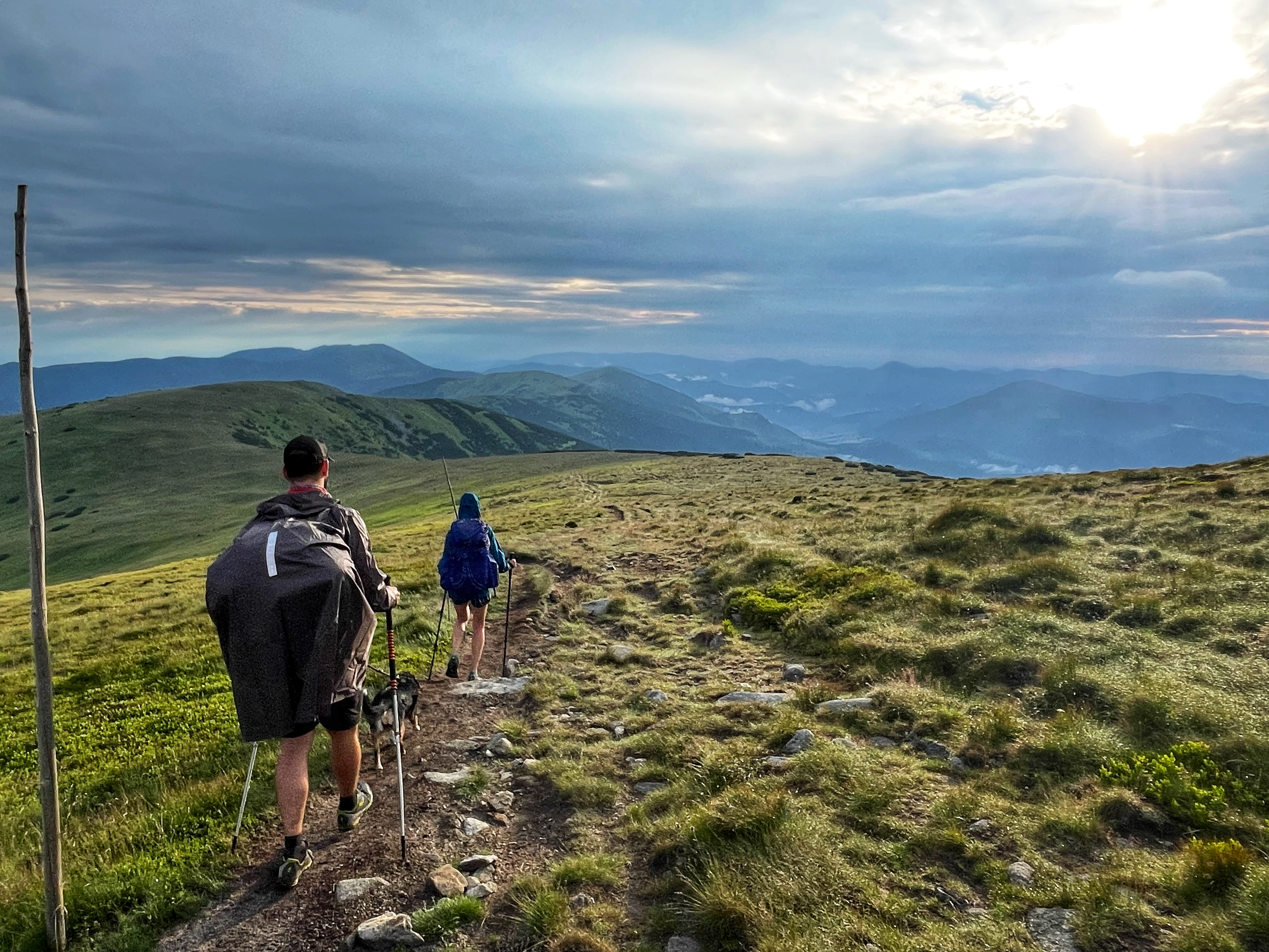
Second day was harder than the first one. We walked 27 km and climbed up 1,309 m. But it was definitely worth it! Check out the pictures with all the beautiful views! We walked from Andrejcova cottage to Čertovica mountain pass. Čertovica connects regions of Liptov and Horehronie. With 1,232 m AMSL, it is the highest paved mountain pass in Slovakia. It is open all year round, however, it can be rarely closed during the winter because of the severe weather conditions. It divides the Low Tatras range into two parts. The highest peaks of the Low Tatras are located in its western part.
This is the route that we took the second day: https://en.mapy.cz/s/duluzofafa.


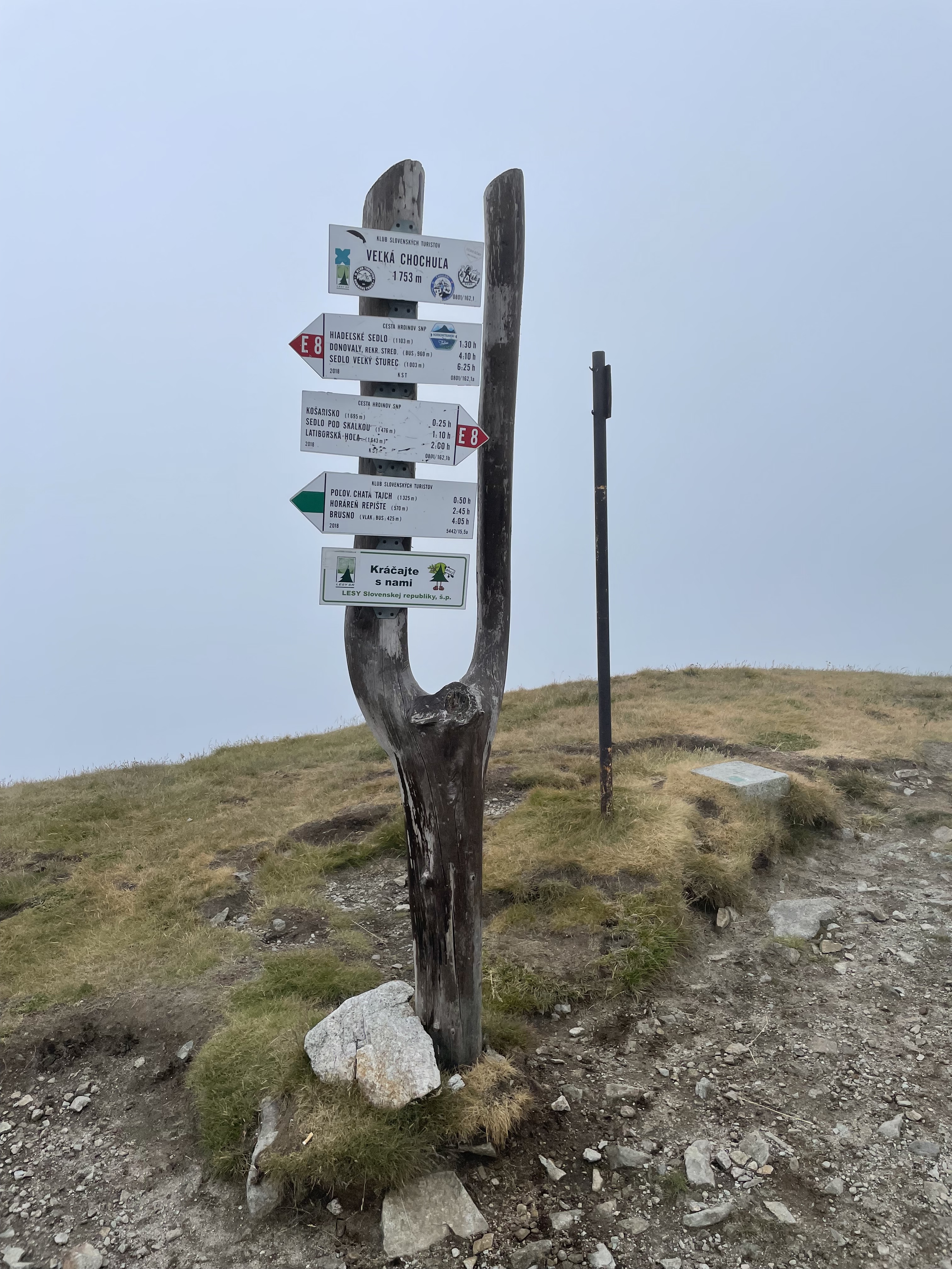
Third day: Čertovica mountain pass – Ďurková cabin
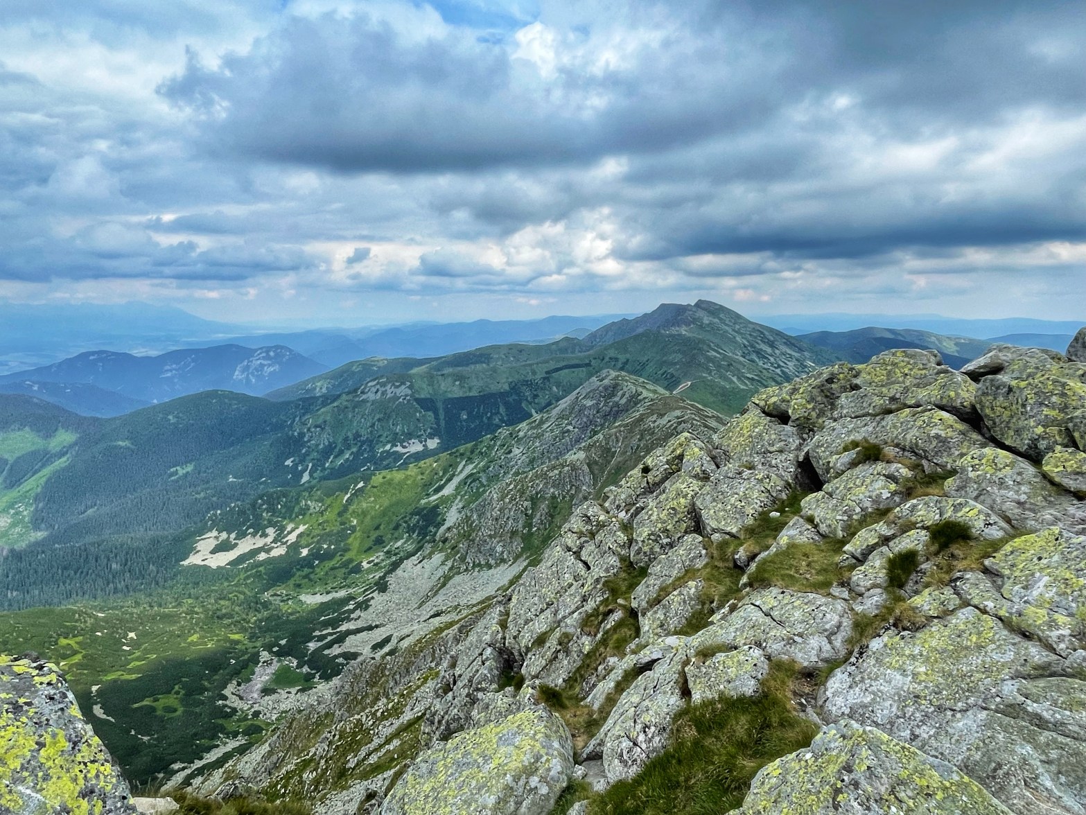
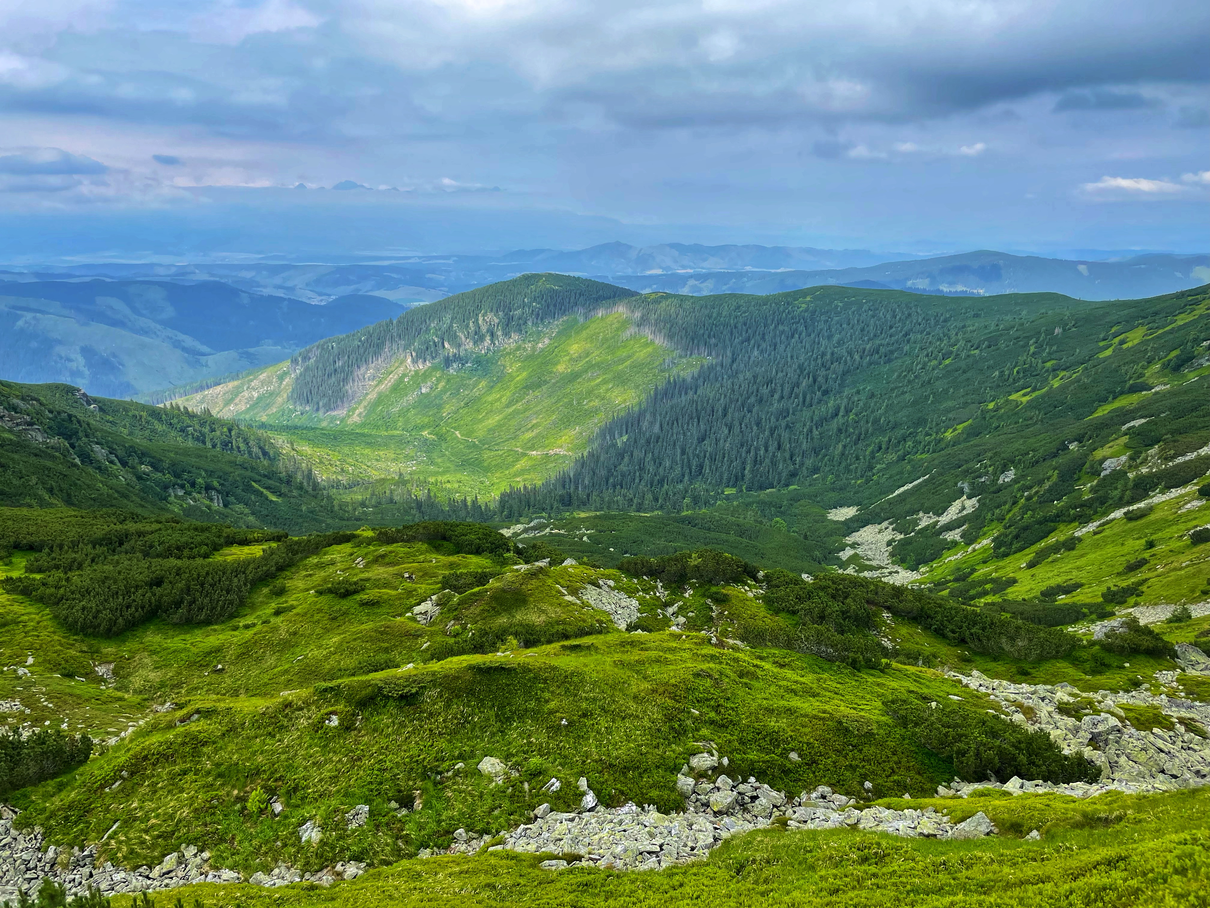
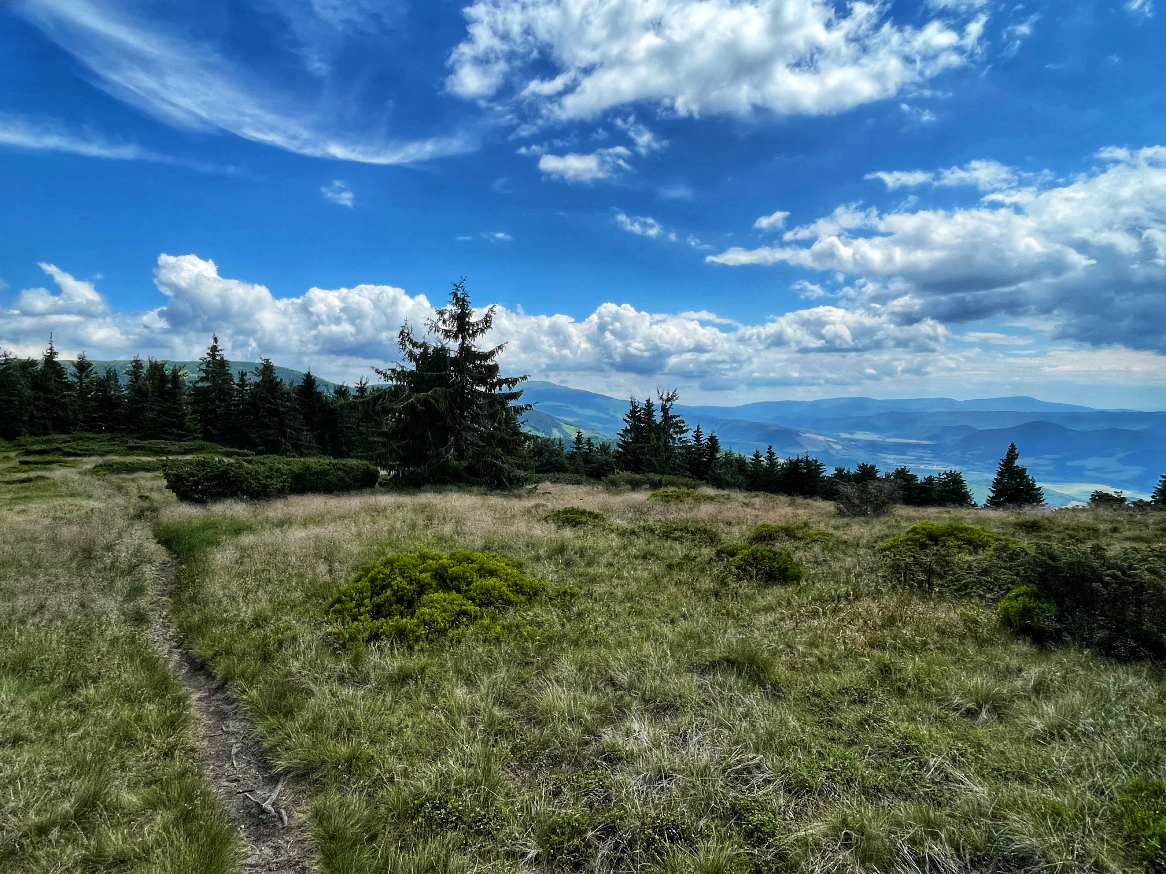
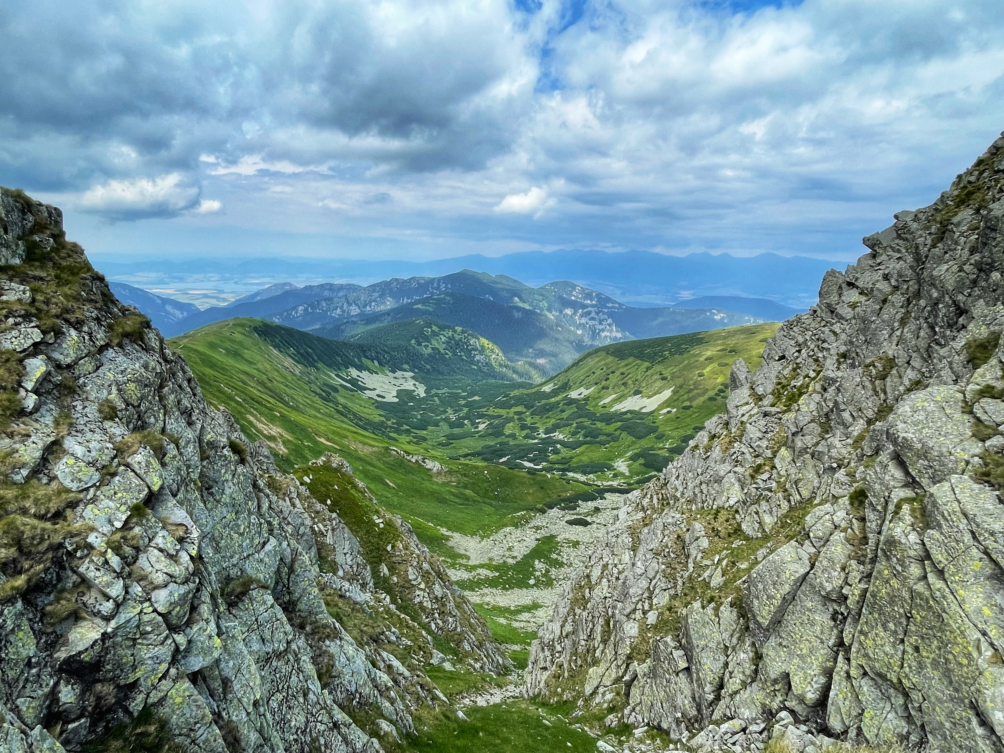
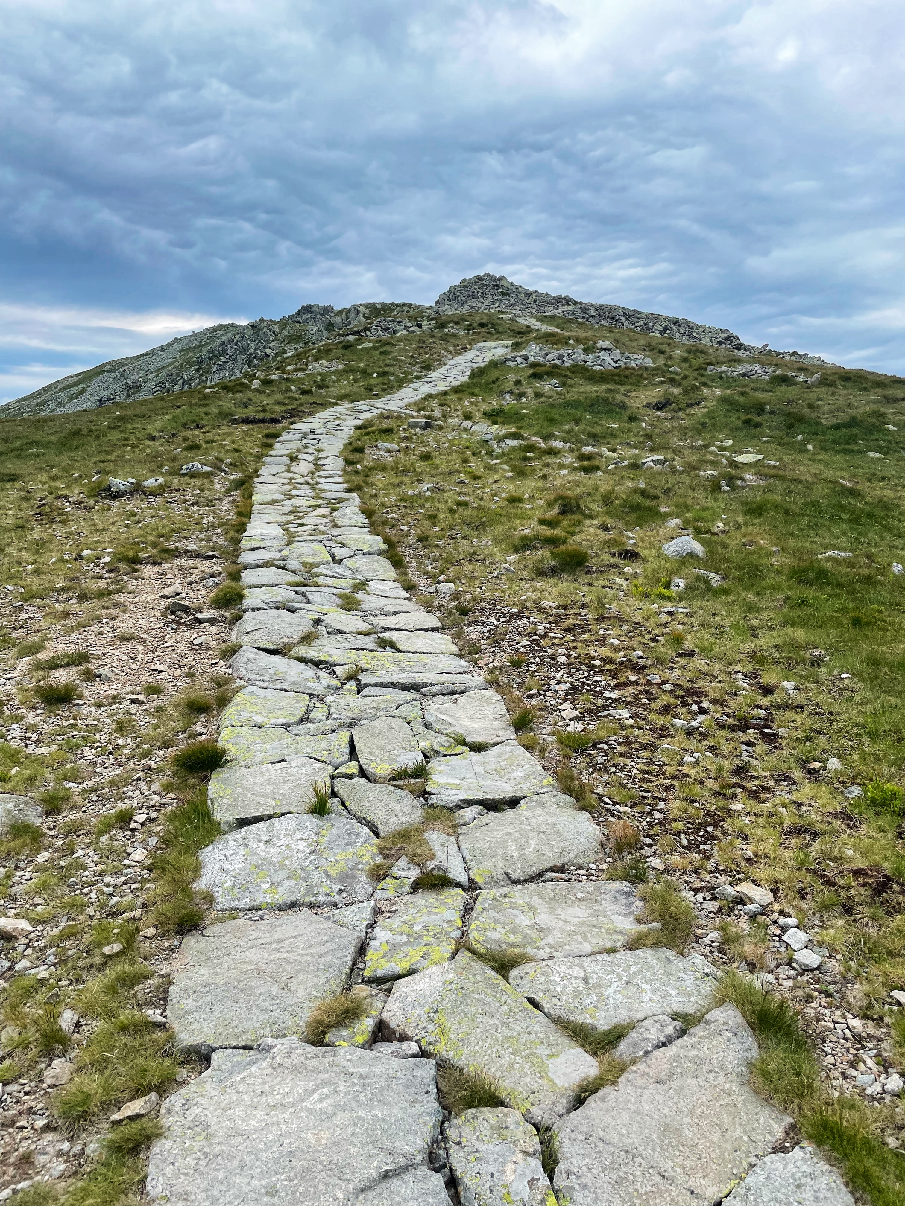
Third day of the crossing of the ridge of the Low Tatras was the day with the most beautiful sceneries. We walked 27 km and climbed up more than 2,000 m.
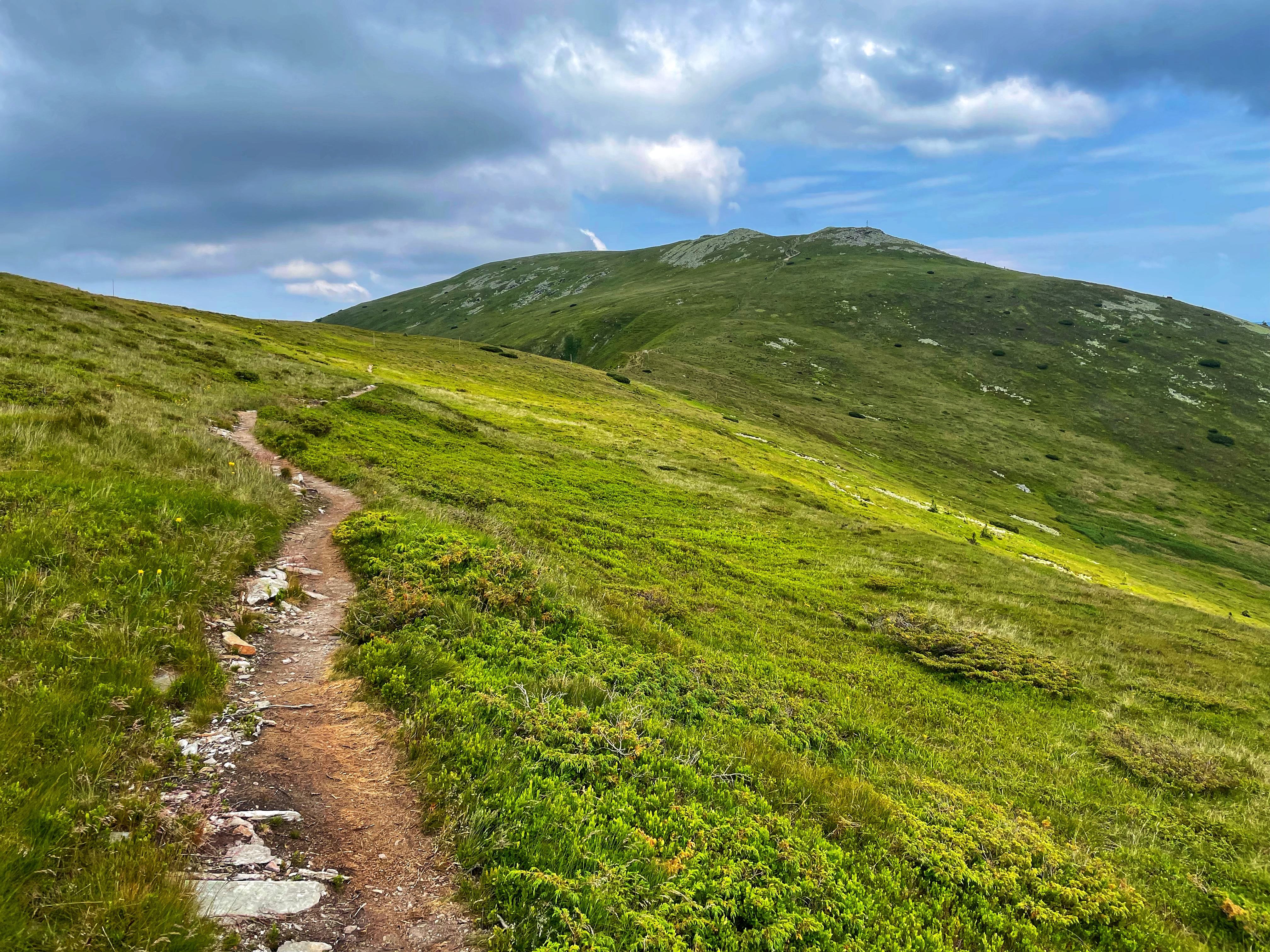
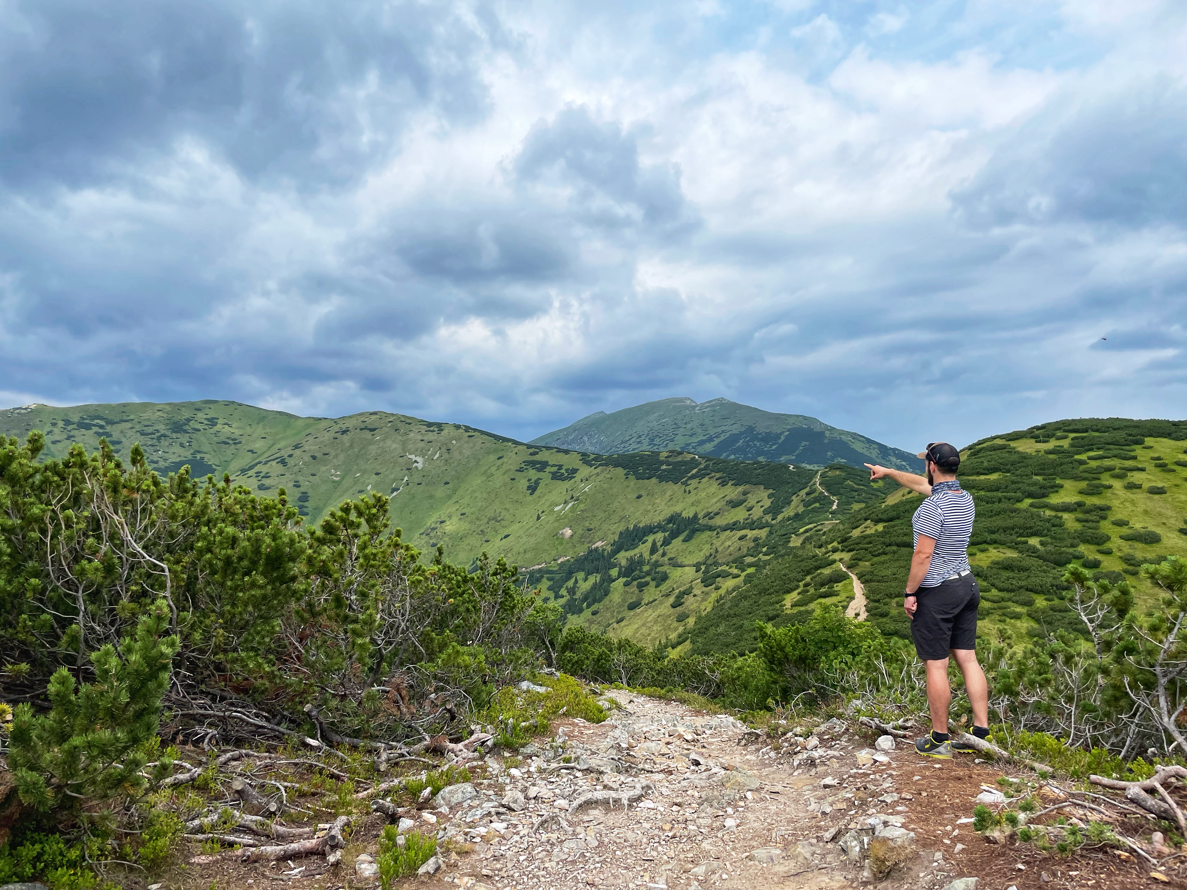
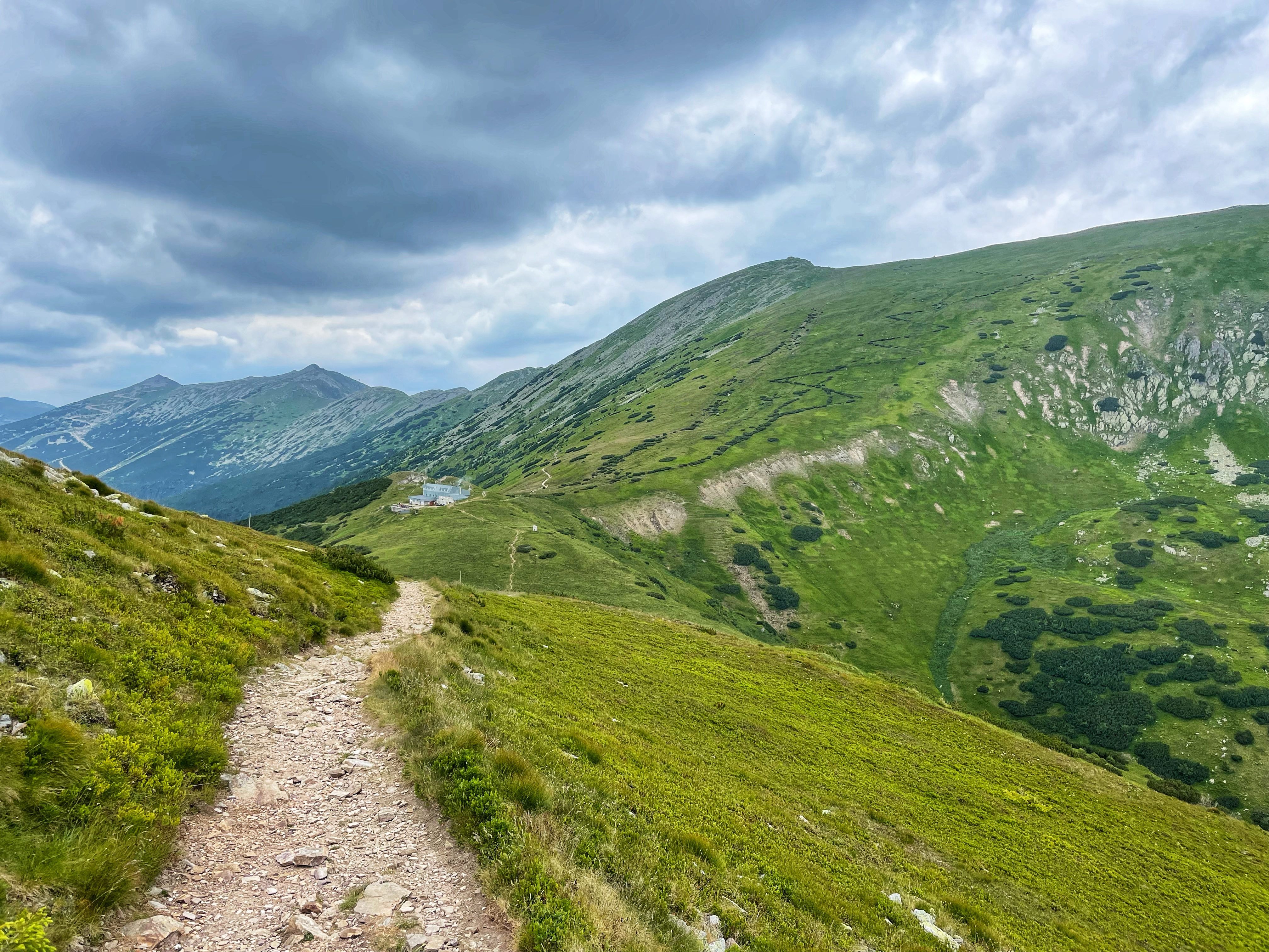
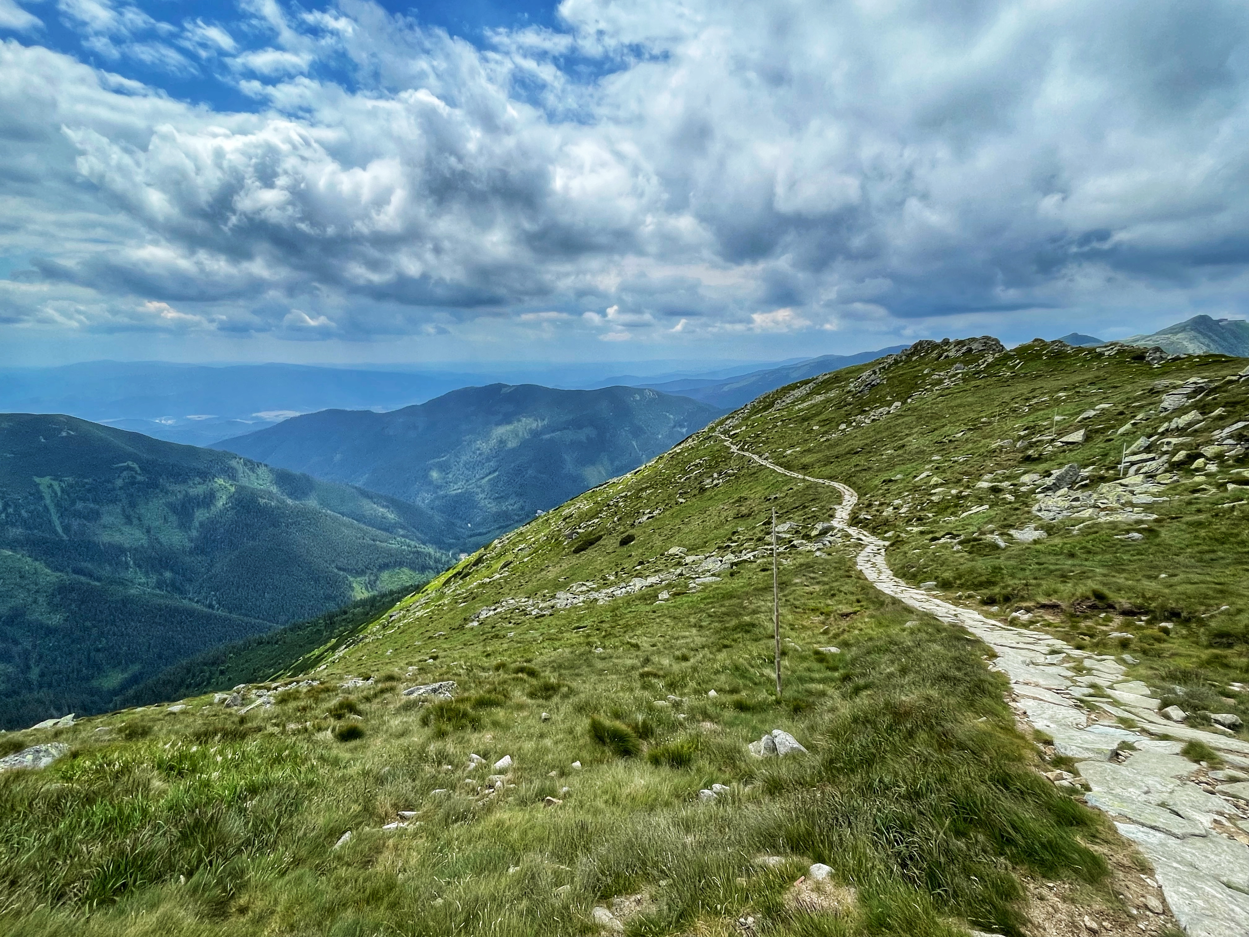
On the third day we visited Ďumbier (2,045 m AMSL). Ďumbier is the highest mountain in the Low Tatra range, in central Slovakia. Despite the remains of medieval mines, the massif is now protected as a part of the Low Tatras National Park. The easily accessible summit offers a scenic view of High Tatra, Liptov and the valley of Hron. A chalet called Chata M. R. Štefánika is situated under the summit.
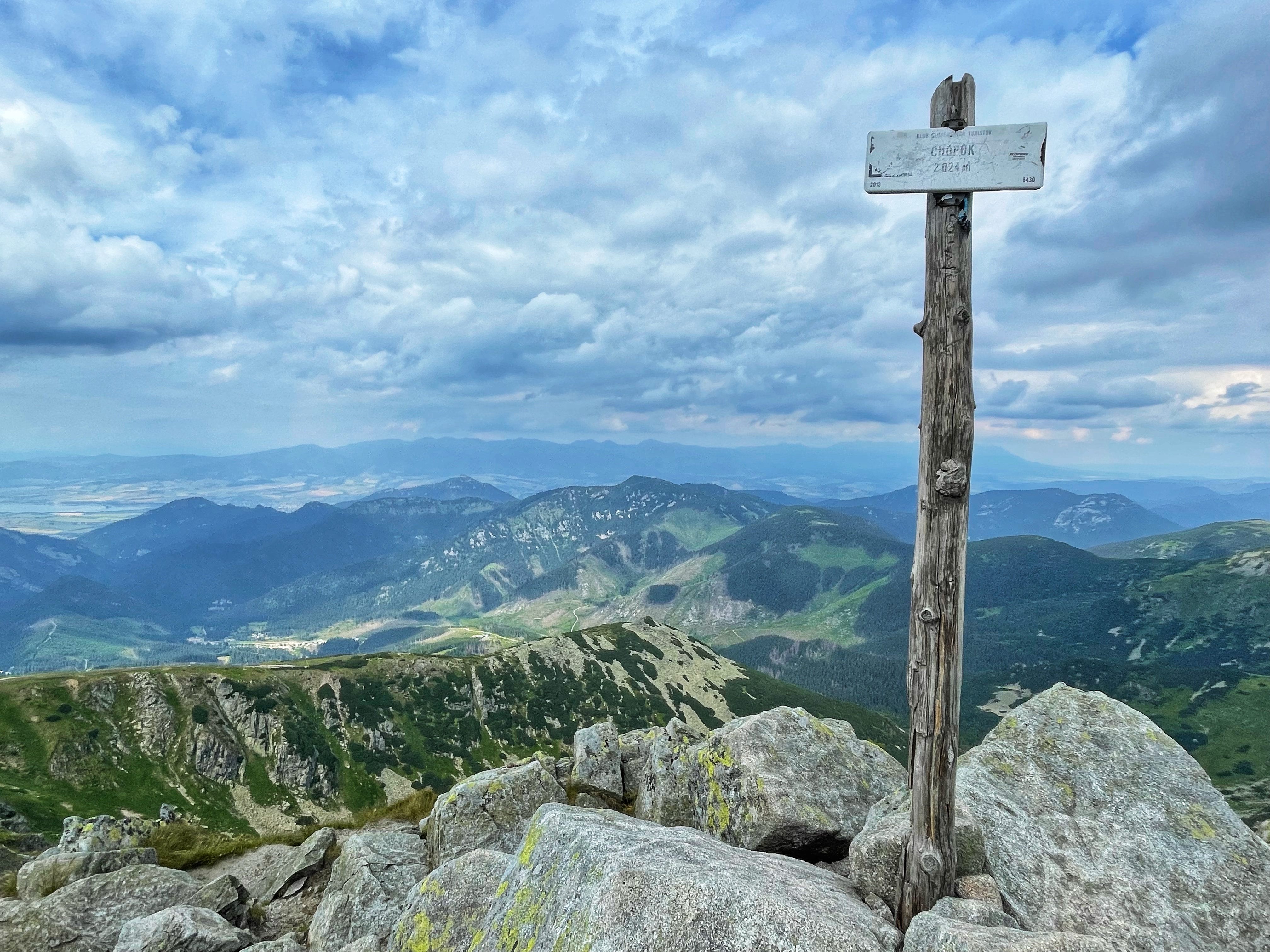
We also visited Chopok (2,023 m AMSL). It is the third highest peak of the Low Tatra range in central Slovakia. The peak offers a panoramatic view of High Tatra, Liptov and the valley of Hron. There is a chalet located near the summit.
This is the route that we took the third day: https://en.mapy.cz/s/fahokugavo. We walked all the way to Ďurková cabin where we stayed overnight. The reservation was not necessary, however the comfort of the cabin is not very high. The manager of the cabin finds a place to sleep for everybody. That means people sleep under and on the tables, packed right next to each other. It is also possible to put up your own tent. However, the cabin does not rent tents.
Fourth day: Ďurková cabin – Donovaly
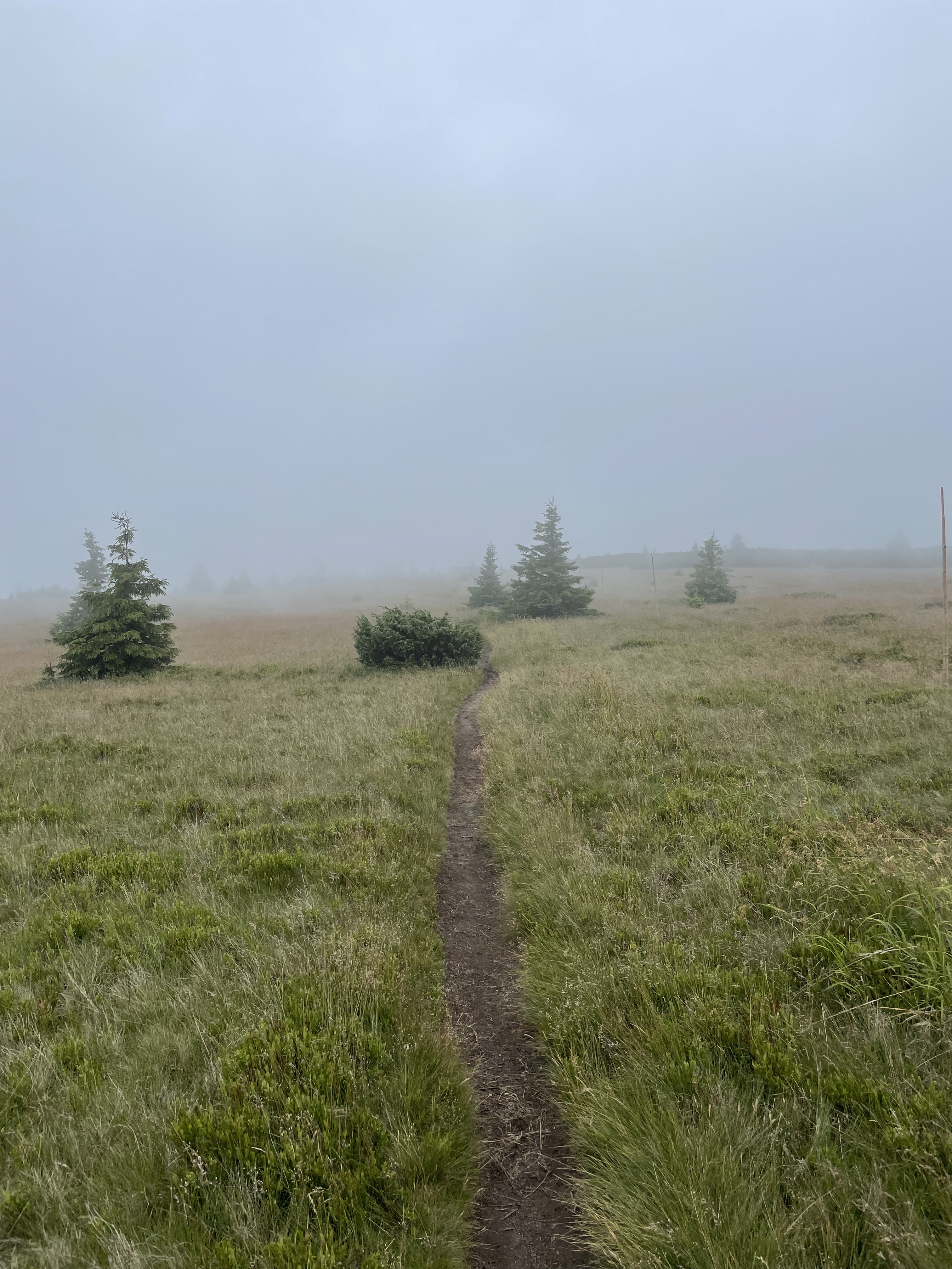
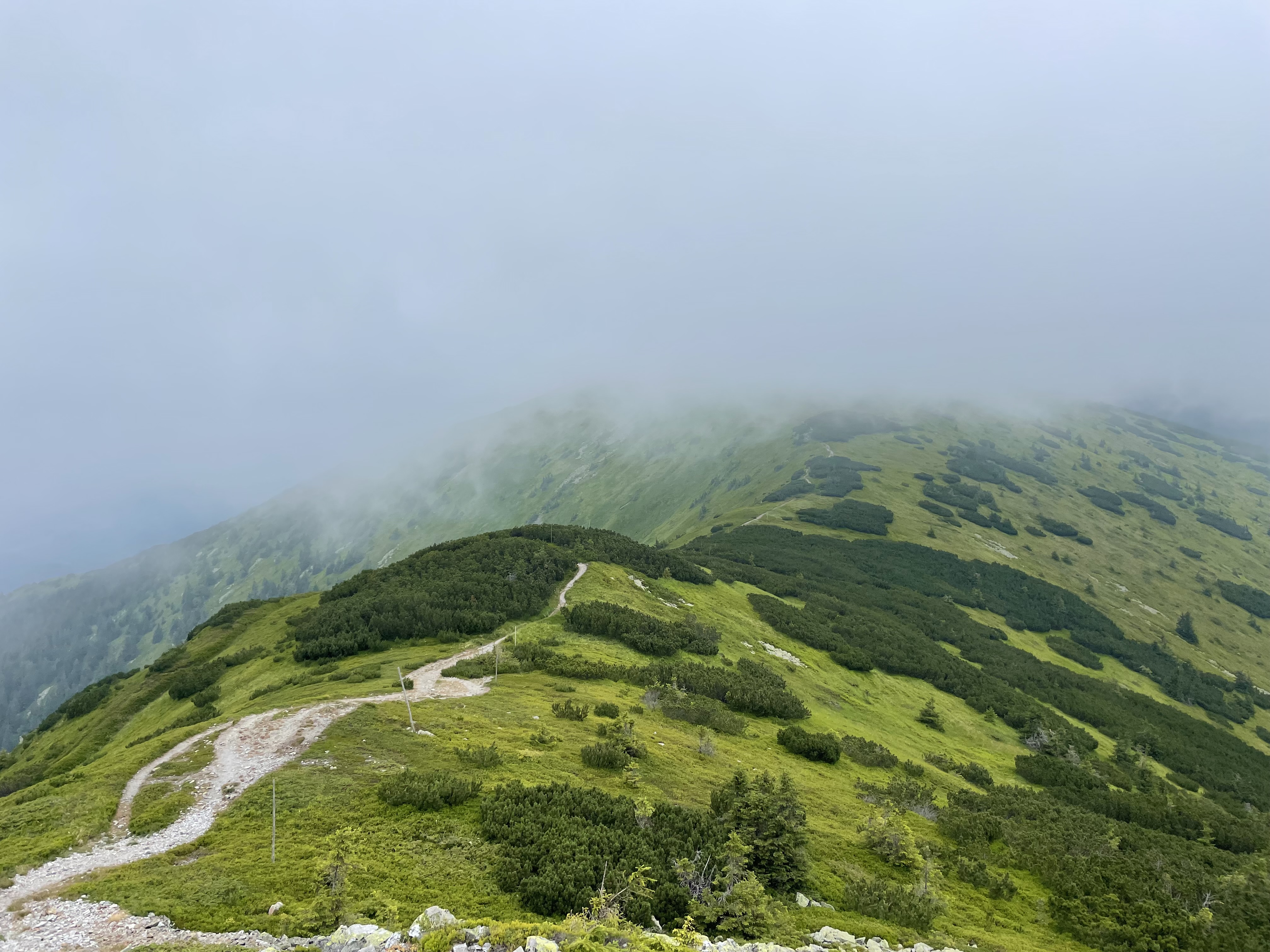
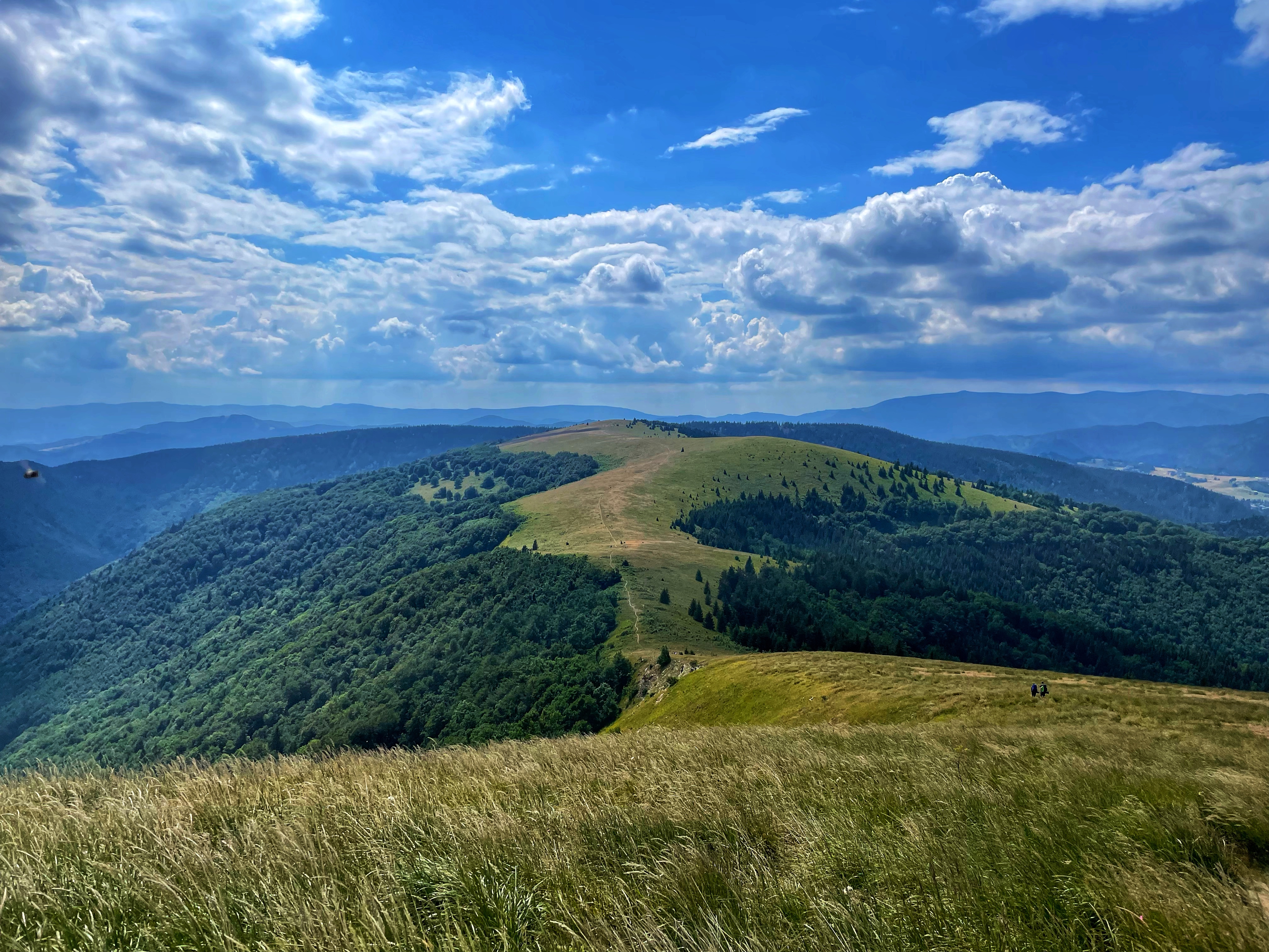
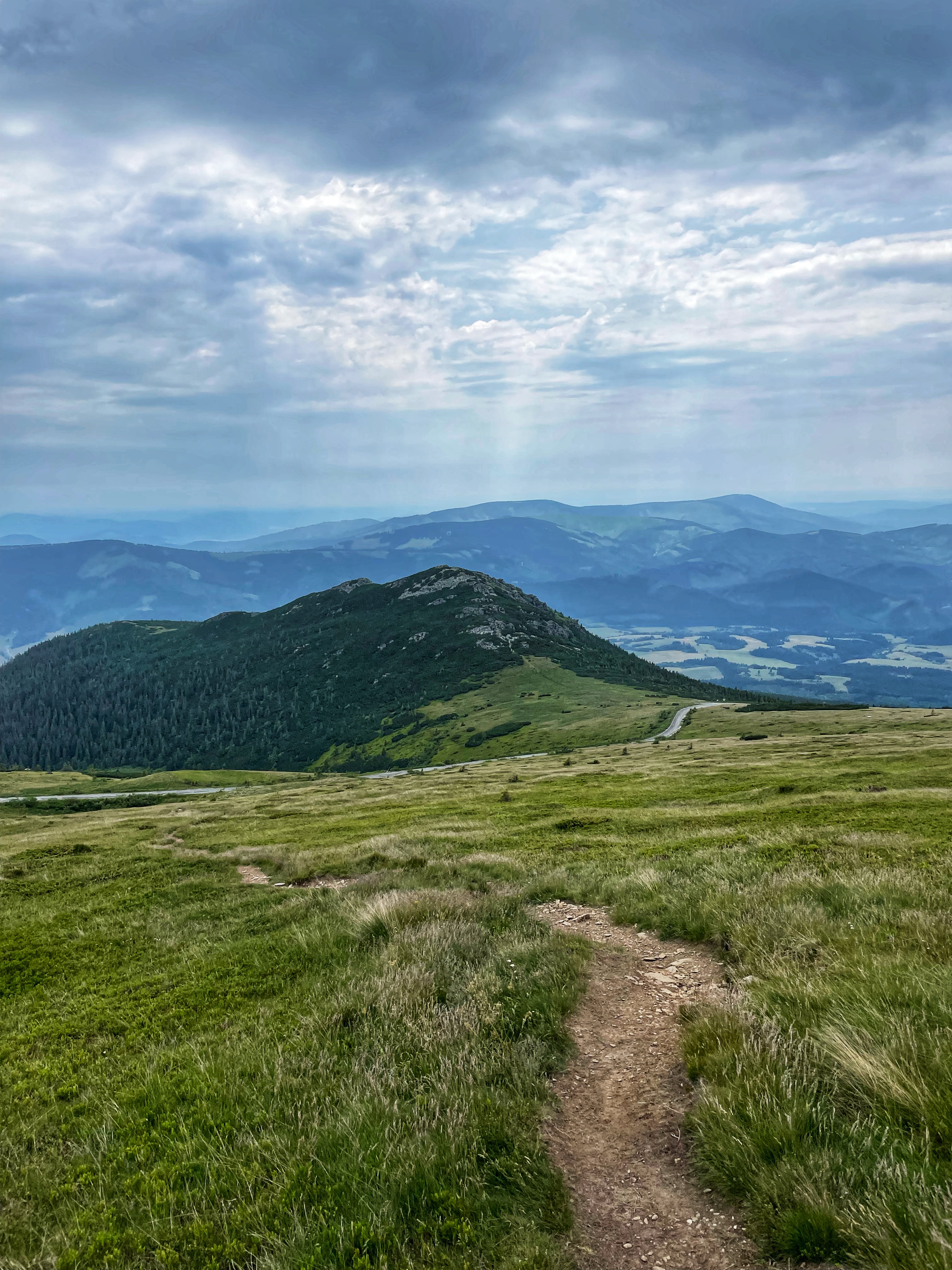
This is the route that we took the fourth day: https://en.mapy.cz/s/cedubonoku. We walked 27 km, mostly downhill. We finished the hike at the village of Donovaly. The morning was a bit foggy, but the weather got much better in the afternoon and allowed us to say a proper goodbye to the Low Tatras. It was an incredible four day hike. We will definitely come back one day. And you should too!